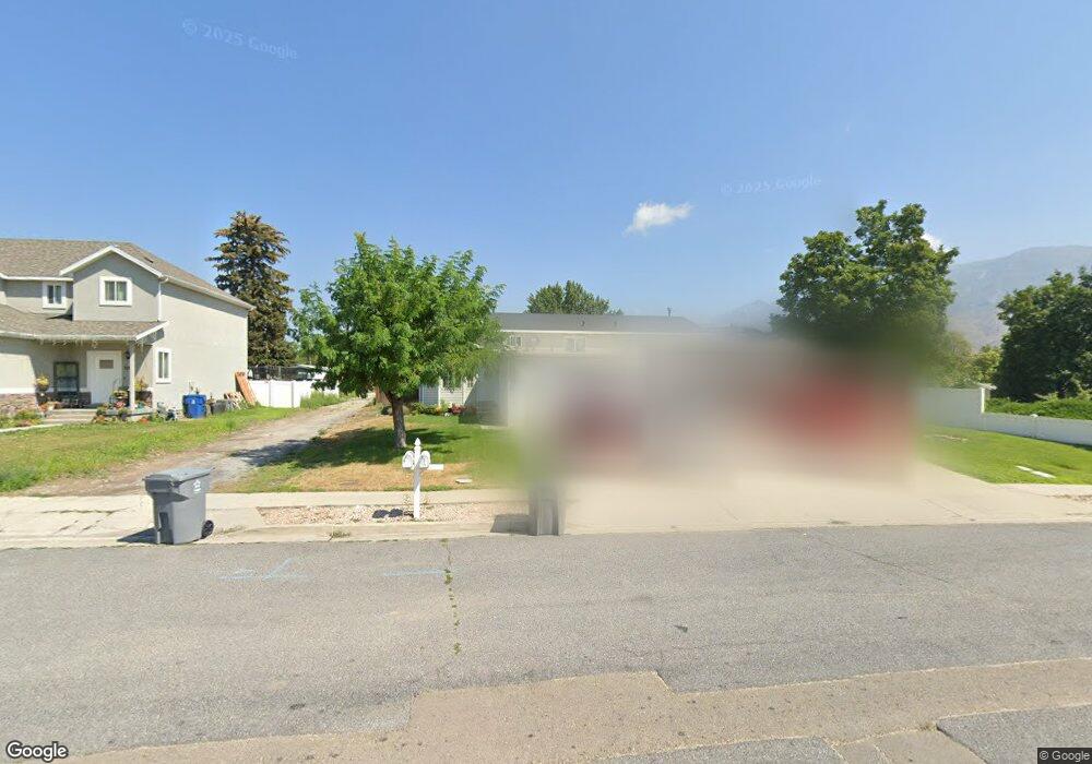
645 E 100 N American Fork, UT 84003
Estimated Value: $390,000 - $443,000
2
Beds
1
Bath
1,156
Sq Ft
$362/Sq Ft
Est. Value
About This Home
This home is located at 645 E 100 N, American Fork, UT 84003 and is currently estimated at $418,683, approximately $362 per square foot. 645 E 100 N is a home located in Utah County with nearby schools including Barratt Elementary School, American Fork Junior High School, and American Fork High School.
Ownership History
Date
Name
Owned For
Owner Type
Purchase Details
Closed on
Apr 1, 2016
Sold by
Kwan Jill
Bought by
Tec Raul Santiago Borges and Tan Heny
Current Estimated Value
Home Financials for this Owner
Home Financials are based on the most recent Mortgage that was taken out on this home.
Original Mortgage
$185,000
Outstanding Balance
$146,778
Interest Rate
3.64%
Mortgage Type
Purchase Money Mortgage
Estimated Equity
$271,905
Purchase Details
Closed on
Oct 11, 2002
Sold by
Humes Brian Robert and Humes Vickie Dawn
Bought by
Kwan Jill
Home Financials for this Owner
Home Financials are based on the most recent Mortgage that was taken out on this home.
Original Mortgage
$99,050
Interest Rate
6.05%
Purchase Details
Closed on
Jan 5, 1999
Sold by
F & D Management Inc
Bought by
Humes Brian Robert and Humes Vickie Dawn
Create a Home Valuation Report for This Property
The Home Valuation Report is an in-depth analysis detailing your home's value as well as a comparison with similar homes in the area
Home Values in the Area
Average Home Value in this Area
Purchase History
We collect this data history from publicly available records. To have your information removed, we recommend requesting removal directly through your county’s website.
| Date | Buyer | Sale Price | Title Company |
|---|---|---|---|
| Tec Raul Santiago Borges | -- | None Available | |
| Kwan Jill | -- | Sundance Title Insurance Ag | |
| Humes Brian Robert | -- | Security Title & Abstract |
Source: Public Records
Mortgage History
We collect this data history from publicly available records. To have your information removed, we recommend requesting removal directly through your county’s website.
| Date | Status | Borrower | Loan Amount |
|---|---|---|---|
| Open | Tec Raul Santiago Borges | $185,000 | |
| Previous Owner | Kwan Jill | $99,050 |
Source: Public Records
Tax History
| Year | Tax Paid | Tax Assessment Tax Assessment Total Assessment is a certain percentage of the fair market value that is determined by local assessors to be the total taxable value of land and additions on the property. | Land | Improvement |
|---|---|---|---|---|
| 2025 | $2,092 | $232,320 | -- | -- |
| 2024 | $2,092 | $232,485 | $0 | $0 |
| 2023 | $2,060 | $242,660 | $0 | $0 |
| 2022 | $1,749 | $203,280 | $0 | $0 |
| 2021 | $1,566 | $284,300 | $96,500 | $187,800 |
| 2020 | $1,523 | $268,200 | $96,500 | $171,700 |
| 2019 | $1,366 | $248,800 | $96,500 | $152,300 |
| 2018 | $1,429 | $248,800 | $96,500 | $152,300 |
| 2017 | $1,365 | $128,260 | $0 | $0 |
| 2016 | $1,167 | $101,915 | $0 | $0 |
| 2015 | $1,188 | $98,450 | $0 | $0 |
| 2014 | $1,093 | $89,375 | $0 | $0 |
Source: Public Records
Map
Nearby Homes
Your Personal Tour Guide
Ask me questions while you tour the home.