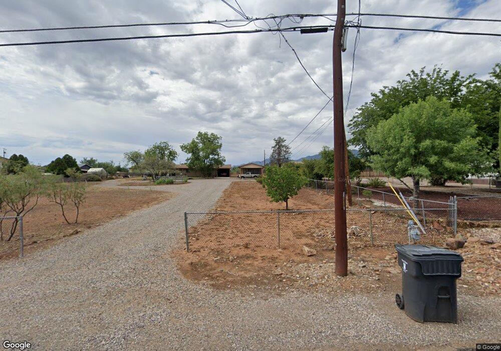
645 E Date St Cottonwood, AZ 86326
Cottonwood NeighborhoodEstimated Value: $313,475 - $408,000
--
Bed
--
Bath
1,248
Sq Ft
$305/Sq Ft
Est. Value
About This Home
This home is located at 645 E Date St, Cottonwood, AZ 86326 and is currently estimated at $380,619, approximately $304 per square foot. 645 E Date St is a home located in Yavapai County with nearby schools including Dr Daniel Bright Elementary School, Cottonwood Elementary School, and Cottonwood Community School.
Ownership History
Date
Name
Owned For
Owner Type
Purchase Details
Closed on
Sep 13, 1994
Sold by
Baker Charles E and Baker Wilma J
Bought by
Rowley Danny G and Rowley Linda S
Current Estimated Value
Home Financials for this Owner
Home Financials are based on the most recent Mortgage that was taken out on this home.
Original Mortgage
$80,000
Interest Rate
8.5%
Mortgage Type
New Conventional
Create a Home Valuation Report for This Property
The Home Valuation Report is an in-depth analysis detailing your home's value as well as a comparison with similar homes in the area
Home Values in the Area
Average Home Value in this Area
Purchase History
| Date | Buyer | Sale Price | Title Company |
|---|---|---|---|
| Rowley Danny G | $89,900 | First American Title |
Source: Public Records
Mortgage History
| Date | Status | Borrower | Loan Amount |
|---|---|---|---|
| Closed | Rowley Danny G | $80,000 |
Source: Public Records
Tax History Compared to Growth
Tax History
| Year | Tax Paid | Tax Assessment Tax Assessment Total Assessment is a certain percentage of the fair market value that is determined by local assessors to be the total taxable value of land and additions on the property. | Land | Improvement |
|---|---|---|---|---|
| 2026 | $1,022 | $31,241 | -- | -- |
| 2025 | $1,002 | $29,798 | -- | -- |
| 2024 | $1,002 | $31,288 | -- | -- |
| 2023 | $1,002 | $26,942 | $8,327 | $18,615 |
| 2022 | $999 | $22,315 | $6,964 | $15,351 |
| 2021 | $1,086 | $20,429 | $6,124 | $14,305 |
| 2020 | $1,079 | $0 | $0 | $0 |
| 2019 | $1,072 | $0 | $0 | $0 |
| 2018 | $1,030 | $0 | $0 | $0 |
| 2017 | $987 | $0 | $0 | $0 |
| 2016 | $970 | $0 | $0 | $0 |
| 2015 | $971 | $0 | $0 | $0 |
| 2014 | $861 | $0 | $0 | $0 |
Source: Public Records
Map
Nearby Homes
- 912 S 6th St
- 421 Boulder Ln
- 630 E Elm St
- 807 S Tigres Trail
- 910 S Tigres Trail
- 1041 S Vista Grande Dr
- 1161 S 10th St
- 1063 S Viejo Dr
- 1151 E State Route 89a --
- 320 E Fir St
- 601 Clover Way Unit 7
- 1295 E Ridgeview Dr
- 1191 S Vista Grande Dr
- 1203 S Settlers Cir
- 9 E Crimson Rd Unit Lot 18
- 1322 E Five Star Blvd
- 720 Skyview Ln
- 705 S 16th St
- 5 W Cottonwood St Unit 23
- 1860 Sunset Dr