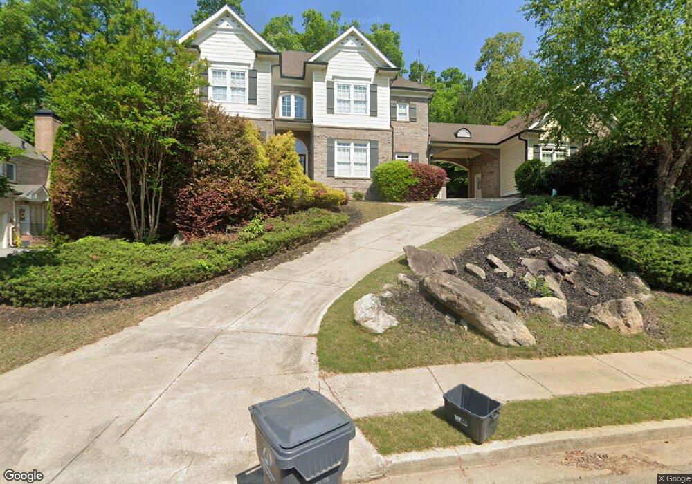
645 Grimsby Ct Suwanee, GA 30024
Estimated Value: $1,151,046 - $1,368,000
About This Home
This home is located at 645 Grimsby Ct, Suwanee, GA 30024 and is currently estimated at $1,247,762, approximately $273 per square foot. 645 Grimsby Ct is a home located in Gwinnett County with nearby schools including Riverside Elementary School, North Gwinnett Middle School, and North Gwinnett High School.
Ownership History
We collect this data history from publicly available records. To have your information removed, we recommend requesting removal directly through your county’s website.
Purchase Details
Home Financials for this Owner
Home Financials are based on the most recent Mortgage that was taken out on this home.Purchase Details
Purchase Details
Home Financials for this Owner
Home Financials are based on the most recent Mortgage that was taken out on this home.Home Values in the Area
Average Home Value in this Area
Purchase History
We collect this data history from publicly available records. To have your information removed, we recommend requesting removal directly through your county’s website.
| Date | Buyer | Sale Price | Title Company |
|---|---|---|---|
| $475,000 | -- | ||
| $527,478 | -- | ||
| $608,000 | -- |
Mortgage History
We collect this data history from publicly available records. To have your information removed, we recommend requesting removal directly through your county’s website.
| Date | Status | Borrower | Loan Amount |
|---|---|---|---|
| Open | $380,000 | ||
| Previous Owner | $486,400 |
Tax History
We collect this data history from publicly available records. To have your information removed, we recommend requesting removal directly through your county’s website.
| Year | Tax Paid | Tax Assessment Tax Assessment Total Assessment is a certain percentage of the fair market value that is determined by local assessors to be the total taxable value of land and additions on the property. | Land | Improvement |
|---|---|---|---|---|
| 2025 | $13,700 | $487,280 | $84,000 | $403,280 |
| 2024 | $14,216 | $499,480 | $80,000 | $419,480 |
| 2023 | $14,216 | $462,600 | $74,000 | $388,600 |
| 2022 | $11,201 | $353,600 | $71,600 | $282,000 |
| 2021 | $10,676 | $318,280 | $61,200 | $257,080 |
| 2020 | $10,753 | $318,280 | $61,200 | $257,080 |
| 2019 | $10,413 | $318,280 | $61,200 | $257,080 |
| 2018 | $10,093 | $302,120 | $61,200 | $240,920 |
| 2016 | $9,606 | $279,000 | $58,000 | $221,000 |
| 2015 | $9,719 | $279,000 | $58,000 | $221,000 |
| 2014 | $8,813 | $241,960 | $54,000 | $187,960 |
Map
- 600 Grimsby Ct
- 3681 Trevi Ln
- 4847 Basingstoke Dr
- 5140 Harbury Ln
- 3487 Binghurst Rd
- 4858 Basingstoke Dr
- 5243 Aldeburgh Dr
- 811 Woodvale Point
- 4920 Roaring Fork Pass
- 5664 Brendlynn Dr
- 721 Woodvale Point
- 751 Woodvale Point
- 3170 Glastonbury Ln
- 5262 Enniskillen Ct
- 5683 Brendlynn Dr
- 4998 Gunnison Trace
- 552 Brendlynn Ct
- 5395 Harbury Ln
- 989 Middle Fork Trail
- 5566 Aviemore Ct
- 635 Grimsby Ct
- 655 Grimsby Ct
- 3417 Binghurst Rd
- 3427 Binghurst Rd
- 615 Grimsby Ct
- 640 Grimsby Ct
- 630 Grimsby Ct
- 665 Grimsby Ct
- 3407 Binghurst Rd
- 3437 Binghurst Rd
- 5030 Grimsby Cove
- 620 Grimsby Ct Unit 524
- 620 Grimsby Ct
- 5021 Grimsby Cove NW
- 605 Grimsby Ct
- 605 Grimsby Ct Unit 1
- 5021 Grimsby Cove
- 3387 Binghurst Rd
- 3367 Binghurst Rd
- 3447 Binghurst Rd
Ask me questions while you tour the home.