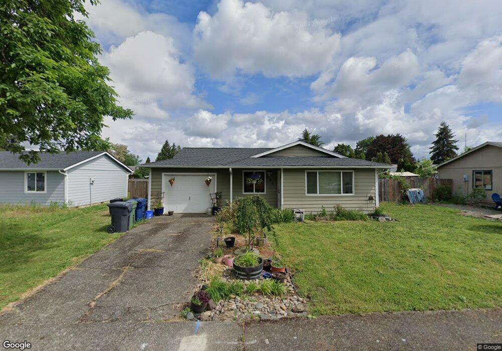
645 Locust Ct Aumsville, OR 97325
Estimated Value: $338,023 - $375,000
3
Beds
1
Bath
1,024
Sq Ft
$344/Sq Ft
Est. Value
About This Home
This home is located at 645 Locust Ct, Aumsville, OR 97325 and is currently estimated at $351,756, approximately $343 per square foot. 645 Locust Ct is a home located in Marion County with nearby schools including Cascade Junior High School, Cascade Senior High School, and Williamette Valley Baptist School.
Ownership History
Date
Name
Owned For
Owner Type
Purchase Details
Closed on
Oct 25, 2007
Sold by
Campbell Derick
Bought by
Campbell Derick and Campbell Theresa M
Current Estimated Value
Home Financials for this Owner
Home Financials are based on the most recent Mortgage that was taken out on this home.
Original Mortgage
$119,000
Outstanding Balance
$74,176
Interest Rate
6.27%
Mortgage Type
Stand Alone Refi Refinance Of Original Loan
Estimated Equity
$277,580
Purchase Details
Closed on
May 13, 2005
Sold by
Deutschman Anita L and Campbell Anita L
Bought by
Campbell Derick
Home Financials for this Owner
Home Financials are based on the most recent Mortgage that was taken out on this home.
Original Mortgage
$118,328
Interest Rate
5.87%
Mortgage Type
FHA
Create a Home Valuation Report for This Property
The Home Valuation Report is an in-depth analysis detailing your home's value as well as a comparison with similar homes in the area
Home Values in the Area
Average Home Value in this Area
Purchase History
| Date | Buyer | Sale Price | Title Company |
|---|---|---|---|
| Campbell Derick | -- | First American | |
| Campbell Derick | $120,000 | Fidelity Natl Title Co Of Or |
Source: Public Records
Mortgage History
| Date | Status | Borrower | Loan Amount |
|---|---|---|---|
| Open | Campbell Derick | $119,000 | |
| Closed | Campbell Derick | $118,328 |
Source: Public Records
Tax History Compared to Growth
Tax History
| Year | Tax Paid | Tax Assessment Tax Assessment Total Assessment is a certain percentage of the fair market value that is determined by local assessors to be the total taxable value of land and additions on the property. | Land | Improvement |
|---|---|---|---|---|
| 2025 | $2,170 | $144,090 | -- | -- |
| 2024 | $2,170 | $139,900 | -- | -- |
| 2023 | $2,116 | $135,830 | $0 | $0 |
| 2022 | $1,987 | $131,880 | $0 | $0 |
| 2021 | $1,953 | $128,040 | $0 | $0 |
| 2020 | $1,889 | $124,320 | $0 | $0 |
| 2019 | $1,847 | $120,700 | $0 | $0 |
| 2018 | $1,861 | $0 | $0 | $0 |
| 2017 | $1,807 | $0 | $0 | $0 |
| 2016 | $1,756 | $0 | $0 | $0 |
| 2015 | $1,708 | $0 | $0 | $0 |
| 2014 | $1,662 | $0 | $0 | $0 |
Source: Public Records
Map
Nearby Homes
- 980 Cleveland St
- 107 N 8th (Next To) St
- 740 Main St
- 920 N 9th St
- 911 York St Unit 82
- 911 York (#82) St Unit 82
- 809 Abbey (#71) Ln Unit 71
- 705 Stafford St SE
- 124 Carmel Dr
- 328 Aspen (#16) Dr Unit 16
- 9965 Shayla St
- 9920 Puma St
- 0 Oregon 22
- 17489 Oregon 22
- 8680 Aumsville Hwy SE
- 7872 Terrance Ln SE
- 8550 Aumsville Hwy SE
- 6515 Pony Place SE
- 10473 Mill Creek Rd SE
- 10654 Leverman Rd SE