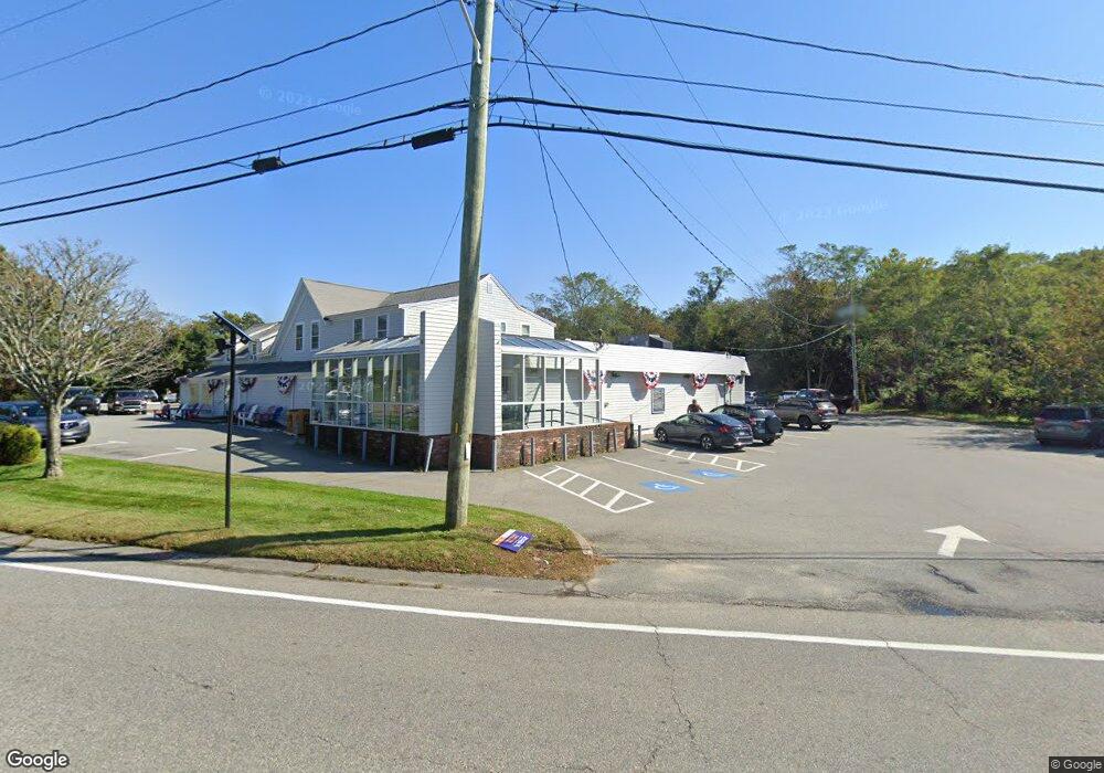
645 Main St Rear Lot Dennis, MA 02638
Yarmouth Port NeighborhoodEstimated Value: $1,014,322
--
Bed
--
Bath
3,894
Sq Ft
$260/Sq Ft
Est. Value
About This Home
This home is located at 645 Main St Rear Lot, Dennis, MA 02638 and is currently priced at $1,014,322, approximately $260 per square foot. 645 Main St Rear Lot is a home located in Barnstable County with nearby schools including Dennis-Yarmouth Regional High School, St. Pius X. School, and Trinity Christian Academy of Cape Cod.
Ownership History
Date
Name
Owned For
Owner Type
Purchase Details
Closed on
Jun 15, 2012
Sold by
Karl 2Nd James L
Bought by
Grand Cove Rt and Howlett
Current Estimated Value
Purchase Details
Closed on
Aug 3, 2010
Sold by
645 Main Rt and Karl
Bought by
Karl 2Nd James L
Home Financials for this Owner
Home Financials are based on the most recent Mortgage that was taken out on this home.
Original Mortgage
$396,000
Interest Rate
4.78%
Mortgage Type
Commercial
Purchase Details
Closed on
Mar 1, 1995
Sold by
Fleet Bk Mass
Bought by
645 Main Rt
Purchase Details
Closed on
Oct 13, 1988
Sold by
Maloney Linda R
Bought by
Martin Leroy A
Home Financials for this Owner
Home Financials are based on the most recent Mortgage that was taken out on this home.
Original Mortgage
$220,000
Interest Rate
10.63%
Mortgage Type
Commercial
Create a Home Valuation Report for This Property
The Home Valuation Report is an in-depth analysis detailing your home's value as well as a comparison with similar homes in the area
Home Values in the Area
Average Home Value in this Area
Purchase History
| Date | Buyer | Sale Price | Title Company |
|---|---|---|---|
| Grand Cove Rt | $455,000 | -- | |
| Karl 2Nd James L | -- | -- | |
| Karl 2Nd James L | -- | -- | |
| Karl 2Nd James L | -- | -- | |
| 645 Main Rt | $145,000 | -- | |
| 645 Main Rt | $145,000 | -- | |
| Martin Leroy A | $445,000 | -- |
Source: Public Records
Mortgage History
| Date | Status | Borrower | Loan Amount |
|---|---|---|---|
| Previous Owner | Karl 2Nd James L | $396,000 | |
| Previous Owner | Martin Leroy A | $220,000 |
Source: Public Records
Tax History Compared to Growth
Tax History
| Year | Tax Paid | Tax Assessment Tax Assessment Total Assessment is a certain percentage of the fair market value that is determined by local assessors to be the total taxable value of land and additions on the property. | Land | Improvement |
|---|---|---|---|---|
| 2025 | $2,956 | $682,700 | $494,000 | $188,700 |
| 2024 | $2,847 | $648,600 | $476,000 | $172,600 |
| 2023 | $2,885 | $617,800 | $453,400 | $164,400 |
| 2022 | $3,262 | $582,500 | $427,600 | $154,900 |
| 2021 | $5,526 | $497,800 | $349,500 | $148,300 |
| 2020 | $2,990 | $490,100 | $345,400 | $144,700 |
| 2019 | $2,842 | $460,600 | $314,000 | $146,600 |
| 2018 | $5,001 | $464,400 | $314,000 | $150,400 |
| 2017 | $4,958 | $464,400 | $314,000 | $150,400 |
| 2016 | $2,871 | $439,700 | $282,600 | $157,100 |
| 2015 | $2,813 | $439,500 | $282,600 | $156,900 |
| 2014 | $2,729 | $429,800 | $282,600 | $147,200 |
Source: Public Records
Map
Nearby Homes
- 1 Barnacle Rd
- 29 Boxwood Cir Unit 29
- 25 Oak Glen
- 25 Oak Glen Village Unit 25
- 24 Minnetuxet Way
- 43 Canterbury Rd
- 7 Forest Gate Unit 7
- 8 Rowley Ln
- 44 Stratford Ln
- 30 W Woods Cir Unit 30
- 34 Kates Path
- 34 Kates Path Unit 34
- 30 W Woods
- 17 Kates Path Unit A
- 228 Kates Path
- 64 Kates Path
- 209 Union St
- 933-935 W Yarmouth Rd
- 50 John Hall Cartway
- 50 John Hall Cartway Unit 50
- 000 Route 6a
- 12 Hockanom Rd
- 644 Massachusetts 6a
- 9 Hockanom Rd
- 22 Hockanom Rd
- 644 Route 6a
- 2 Kencomsett Cir
- 10 Kencomsett Cir
- 7 Sophie Ann Dr
- 16 Kencomsett Cir
- 674 Route 6a
- 2 Acorn Hill Dr
- 675 Route 6a
- 675 Route 6a Unit 1
- 679 Route 6a
- 679 Route 6a Unit 3
- 677 Route 6a Unit 2
- 0 Kencomsett Cir
- 28 Hockanom Rd
- 4 Acorn Hill Dr