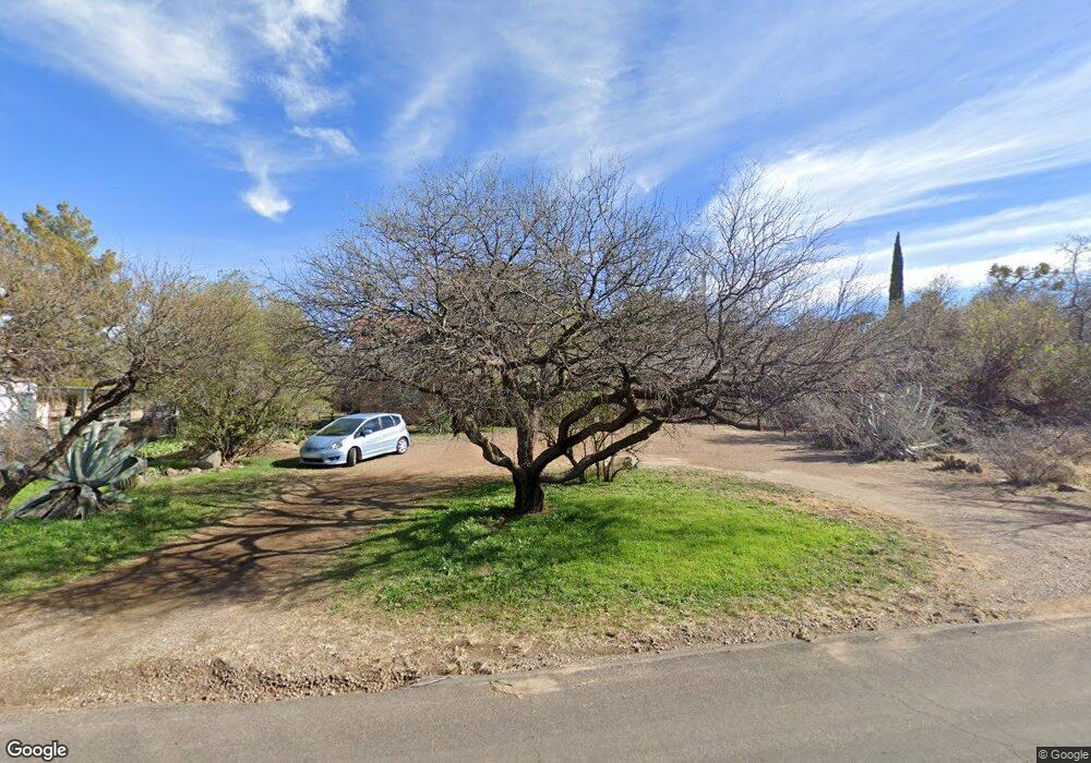
645 N John Adams St Oracle, AZ 85623
Estimated Value: $313,591 - $391,000
--
Bed
--
Bath
1,247
Sq Ft
$281/Sq Ft
Est. Value
About This Home
This home is located at 645 N John Adams St, Oracle, AZ 85623 and is currently estimated at $350,898, approximately $281 per square foot. 645 N John Adams St is a home with nearby schools including Mountain Vista School.
Ownership History
Date
Name
Owned For
Owner Type
Purchase Details
Closed on
Apr 26, 2004
Sold by
Lockhart Joyce
Bought by
Shepherd William D
Current Estimated Value
Home Financials for this Owner
Home Financials are based on the most recent Mortgage that was taken out on this home.
Original Mortgage
$80,000
Outstanding Balance
$37,112
Interest Rate
5.35%
Mortgage Type
New Conventional
Estimated Equity
$313,786
Purchase Details
Closed on
Nov 15, 2002
Sold by
Contreras Alfredo and Contreras Adelita A
Bought by
Lockhart Joyce
Create a Home Valuation Report for This Property
The Home Valuation Report is an in-depth analysis detailing your home's value as well as a comparison with similar homes in the area
Home Values in the Area
Average Home Value in this Area
Purchase History
| Date | Buyer | Sale Price | Title Company |
|---|---|---|---|
| Shepherd William D | $159,500 | Fidelity National Title Agen | |
| Lockhart Joyce | $28,000 | Fidelity Natl Title Agency |
Source: Public Records
Mortgage History
| Date | Status | Borrower | Loan Amount |
|---|---|---|---|
| Open | Shepherd William D | $80,000 |
Source: Public Records
Tax History Compared to Growth
Tax History
| Year | Tax Paid | Tax Assessment Tax Assessment Total Assessment is a certain percentage of the fair market value that is determined by local assessors to be the total taxable value of land and additions on the property. | Land | Improvement |
|---|---|---|---|---|
| 2025 | $1,286 | $25,533 | -- | -- |
| 2024 | $1,191 | $27,502 | -- | -- |
| 2023 | $1,317 | $17,896 | $2,355 | $15,541 |
| 2022 | $1,191 | $14,548 | $2,355 | $12,193 |
| 2021 | $1,219 | $14,624 | $0 | $0 |
| 2020 | $1,195 | $13,431 | $0 | $0 |
| 2019 | $1,107 | $13,598 | $0 | $0 |
| 2018 | $1,063 | $13,278 | $0 | $0 |
| 2017 | $1,027 | $13,501 | $0 | $0 |
| 2016 | $993 | $13,633 | $3,192 | $10,441 |
| 2014 | -- | $7,395 | $2,090 | $5,306 |
Source: Public Records
Map
Nearby Homes
- 1125 E Paseo Encino
- 1074 N White Oak Place
- 760 E American Ave
- 978 N White Oak Place
- +/-1 acre E American Ave
- 881 N Mountain View Dr
- 320 N Estill Dr
- 1243 E Aldwinkle Place
- 0 E Mount Lemmon Hwy Unit 22516461
- TBD E Mount Lemmon Hwy Unit 8.36 Ac
- TBD N Estill Dr Unit 9.54 AC
- 2000 E Mount Lemmon Hwy
- TBD N Viento Dr Unit 1
- TBD N Callas Dr Unit 20 Ac
- 181 W Oak Hills Dr
- 117 S Hobe Rd
- 853 N Stewart Dr
- 280 W Oak Hills Dr
- 531 S Cody Loop Rd
- 2.5 ac W Oak Hills Dr Unit A
- 685 N John Adams St
- 605 N John Adams St
- 640 N Cody Loop Rd
- 680 N Cody Loop Rd
- 715 N John Adams St
- 642 N John Adams St
- 1054 E Nuestro St
- 730 N Cody Loop Rd
- 710 N John Adams St
- 739 N John Adams St
- 555 N John Adams St
- 1045 E Nuestro St
- 770 N Cody Loop Rd
- 916 E Nuestro St
- 715 N Cody Loop Rd
- 715 N Cody Loop Rd Unit 1
- 785 N John Adams St
- 760 N John Adams St
- 790 N Cody Loop Rd
- 1005 E Nuestro St