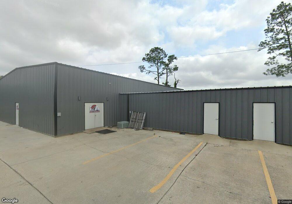
645 Petro Point Dr Lake Charles, LA 70607
Estimated Value: $393,455
--
Bed
1
Bath
--
Sq Ft
0.57
Acres
About This Home
This home is located at 645 Petro Point Dr, Lake Charles, LA 70607 and is currently estimated at $393,455. 645 Petro Point Dr is a home located in Calcasieu Parish with nearby schools including Dolby Elementary School, Francis Wyman Elementary School, and Center Elementary School.
Ownership History
Date
Name
Owned For
Owner Type
Purchase Details
Closed on
Jun 8, 2018
Sold by
Meche Kenneth Wayne and Meche Allyson Dawn
Bought by
Stevison Investments Llc
Current Estimated Value
Home Financials for this Owner
Home Financials are based on the most recent Mortgage that was taken out on this home.
Original Mortgage
$272,000
Outstanding Balance
$235,234
Interest Rate
4.5%
Mortgage Type
Commercial
Estimated Equity
$158,221
Purchase Details
Closed on
Jun 11, 2008
Sold by
Fewell Meche Kenneth Wayne and Fewell Meche Allyson Dawn
Bought by
Adair Asset Management Llc/Us Bank
Purchase Details
Closed on
Aug 2, 2006
Sold by
Meche Kenneth Wayne
Bought by
Lemci Inc
Create a Home Valuation Report for This Property
The Home Valuation Report is an in-depth analysis detailing your home's value as well as a comparison with similar homes in the area
Home Values in the Area
Average Home Value in this Area
Purchase History
| Date | Buyer | Sale Price | Title Company |
|---|---|---|---|
| Stevison Investments Llc | $340,000 | None Available | |
| Adair Asset Management Llc/Us Bank | $2,837 | None Available | |
| Lemci Inc | $2,943 | None Available |
Source: Public Records
Mortgage History
| Date | Status | Borrower | Loan Amount |
|---|---|---|---|
| Open | Stevison Investments Llc | $272,000 |
Source: Public Records
Tax History Compared to Growth
Tax History
| Year | Tax Paid | Tax Assessment Tax Assessment Total Assessment is a certain percentage of the fair market value that is determined by local assessors to be the total taxable value of land and additions on the property. | Land | Improvement |
|---|---|---|---|---|
| 2024 | $2,520 | $26,000 | $9,680 | $16,320 |
| 2023 | $2,520 | $26,000 | $9,680 | $16,320 |
| 2022 | $2,615 | $26,000 | $9,680 | $16,320 |
| 2021 | $1,425 | $16,210 | $9,680 | $6,530 |
| 2020 | $2,285 | $22,260 | $9,200 | $13,060 |
| 2019 | $2,633 | $25,120 | $8,800 | $16,320 |
| 2018 | $2,663 | $25,120 | $8,800 | $16,320 |
| 2017 | $2,654 | $25,120 | $8,800 | $16,320 |
| 2016 | $2,635 | $25,120 | $8,800 | $16,320 |
| 2015 | $2,635 | $25,120 | $8,800 | $16,320 |
Source: Public Records
Map
Nearby Homes
- 714 Rampart St
- 832 Desoto St
- 730 Rampart St
- 0 Petro Point Dr
- 856 Desoto St
- 878 Link Rd
- 645 Esplanade St
- 0 Tallow Rd Unit SWL24005610
- 4823 Gentilly St
- 0 Link Rd Unit SWL24005611
- 829 Rampart St
- 720 Royal St
- 805 Royal St
- 802 Sundale Dr
- 813 Weeks Ln
- 421 & 423 Broussard Ln Ln
- 208 Dolby St
- 4701 Desoto St
- 132 Lee St
- 0 Common St Unit SWL23007421
- 800 Desoto St
- 726 Desoto St
- 643 Petro Point Dr
- 643 Petro Point Dr
- 804 Desoto St
- 722 Desoto St
- 808 Desoto St
- 718 Desoto St
- 812 Desoto St
- 650 Petro Point Dr
- 816 Desoto St
- 805 Desoto St
- 809 Desoto St
- 5013 Camp St
- 813 Desoto St
- 820 Desoto St
- 714 Desoto St
- 641 Petro Point Dr Unit B
- 817 Desoto St
- 821 Desoto St