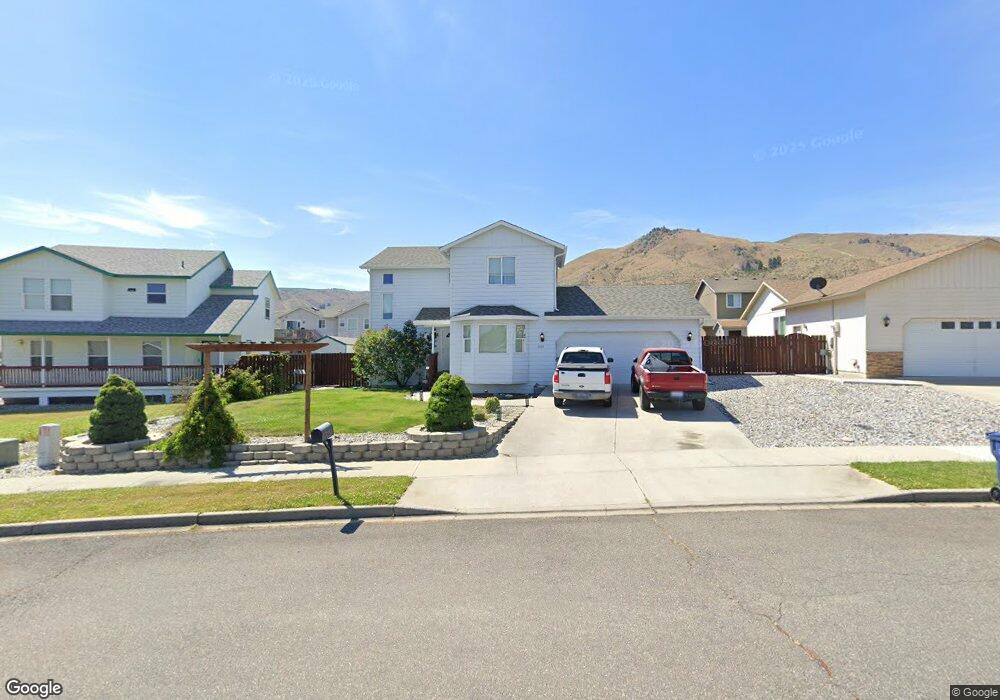
645 Sally Dr Wenatchee, WA 98801
Estimated Value: $520,992 - $583,000
3
Beds
2
Baths
1,865
Sq Ft
$300/Sq Ft
Est. Value
About This Home
This home is located at 645 Sally Dr, Wenatchee, WA 98801 and is currently estimated at $560,331, approximately $300 per square foot. 645 Sally Dr is a home located in Chelan County with nearby schools including Abraham Lincoln Elementary School, Pioneer Middle School, and Wenatchee High School.
Ownership History
Date
Name
Owned For
Owner Type
Purchase Details
Closed on
Dec 13, 2011
Sold by
Wells Fargo Bank Na
Bought by
Folden Earl Scott
Current Estimated Value
Home Financials for this Owner
Home Financials are based on the most recent Mortgage that was taken out on this home.
Original Mortgage
$192,857
Outstanding Balance
$131,483
Interest Rate
3.94%
Mortgage Type
New Conventional
Estimated Equity
$428,848
Purchase Details
Closed on
May 24, 2011
Sold by
Shaw Steven O
Bought by
Wells Fargo Bank Na
Create a Home Valuation Report for This Property
The Home Valuation Report is an in-depth analysis detailing your home's value as well as a comparison with similar homes in the area
Home Values in the Area
Average Home Value in this Area
Purchase History
| Date | Buyer | Sale Price | Title Company |
|---|---|---|---|
| Folden Earl Scott | $189,000 | First Amer Title Wenatchee | |
| Wells Fargo Bank Na | $203,034 | Pioneer Title Co |
Source: Public Records
Mortgage History
| Date | Status | Borrower | Loan Amount |
|---|---|---|---|
| Open | Folden Earl Scott | $192,857 |
Source: Public Records
Tax History Compared to Growth
Tax History
| Year | Tax Paid | Tax Assessment Tax Assessment Total Assessment is a certain percentage of the fair market value that is determined by local assessors to be the total taxable value of land and additions on the property. | Land | Improvement |
|---|---|---|---|---|
| 2021 | $3,660 | $373,568 | $105,700 | $267,868 |
| 2020 | $3,383 | $338,240 | $84,000 | $254,240 |
| 2019 | $2,541 | $327,468 | $81,000 | $246,468 |
| 2018 | $2,693 | $259,555 | $60,000 | $199,555 |
| 2017 | $2,349 | $225,267 | $60,000 | $165,267 |
| 2016 | $2,225 | $213,481 | $60,000 | $153,481 |
| 2015 | $2,225 | $215,097 | $60,000 | $155,097 |
| 2013 | $2,225 | $182,142 | $48,000 | $134,142 |
Source: Public Records
Map
Nearby Homes
- 1738 Skylar Ct
- 1735 Skeena Ct
- 530 Crawford Ave Unit 19
- 430 Crawford Ave
- 281 Terminal Ave
- 1535 Historic Ln
- 537 Chrisand Ln
- 1104 Rosewood Ave
- 1043 Linwood Ave
- 576 Saddle Rock Loop
- 1704 Frances Ct
- 1005 Fuller St
- 812 Ferry St
- 926 Kittitas St
- 815 Highland Dr
- 38 S Viewdale St
- 203 Marr St
- 658 Okanogan Ave
- 1770 Marker St
- 203 Fuller St