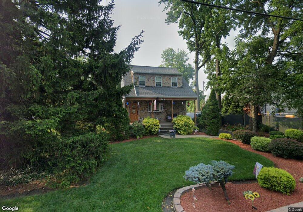
645 State Rd Bensalem, PA 19020
Estimated Value: $337,509 - $405,000
3
Beds
1
Bath
1,202
Sq Ft
$305/Sq Ft
Est. Value
About This Home
This home is located at 645 State Rd, Bensalem, PA 19020 and is currently estimated at $366,877, approximately $305 per square foot. 645 State Rd is a home located in Bucks County with nearby schools including Robert K. Shafer Middle School, St Charles Borromeo School, and Nazareth Academy Grade School.
Ownership History
Date
Name
Owned For
Owner Type
Purchase Details
Closed on
May 5, 2010
Sold by
Mongiello James J and Mongiello Kathleen C
Bought by
Mongiello James J
Current Estimated Value
Purchase Details
Closed on
Sep 29, 1997
Sold by
Rossbauer Kenneth and Rossbauer William M
Bought by
Mongiello James J and Mongiello Kathleen C
Home Financials for this Owner
Home Financials are based on the most recent Mortgage that was taken out on this home.
Original Mortgage
$76,000
Interest Rate
7.41%
Create a Home Valuation Report for This Property
The Home Valuation Report is an in-depth analysis detailing your home's value as well as a comparison with similar homes in the area
Home Values in the Area
Average Home Value in this Area
Purchase History
| Date | Buyer | Sale Price | Title Company |
|---|---|---|---|
| Mongiello James J | -- | None Available | |
| Mongiello James J | $95,000 | -- |
Source: Public Records
Mortgage History
| Date | Status | Borrower | Loan Amount |
|---|---|---|---|
| Closed | Mongiello James J | $76,000 |
Source: Public Records
Tax History Compared to Growth
Tax History
| Year | Tax Paid | Tax Assessment Tax Assessment Total Assessment is a certain percentage of the fair market value that is determined by local assessors to be the total taxable value of land and additions on the property. | Land | Improvement |
|---|---|---|---|---|
| 2025 | $3,144 | $14,400 | $3,920 | $10,480 |
| 2024 | $3,144 | $14,400 | $3,920 | $10,480 |
| 2023 | $3,055 | $14,400 | $3,920 | $10,480 |
| 2022 | $3,037 | $14,400 | $3,920 | $10,480 |
| 2021 | $3,037 | $14,400 | $3,920 | $10,480 |
| 2020 | $3,006 | $14,400 | $3,920 | $10,480 |
| 2019 | $2,939 | $14,400 | $3,920 | $10,480 |
| 2018 | $2,871 | $14,400 | $3,920 | $10,480 |
| 2017 | $2,853 | $14,400 | $3,920 | $10,480 |
| 2016 | $2,853 | $14,400 | $3,920 | $10,480 |
| 2015 | -- | $14,400 | $3,920 | $10,480 |
| 2014 | -- | $14,400 | $3,920 | $10,480 |
Source: Public Records
Map
Nearby Homes
- 827 Mitchell Ave
- 1039 Clinton Ave
- 1103 Colonial Ave
- 1080 Buttonwood Ave
- 3750 Clarendon Ave Unit 3
- 3750 00 Clarendon Unit 221
- 3727 Pitt Place
- 4161 Orchard Ln
- 3726 Clarendon Ave
- 3720 Clarendon Ave
- 4953 Fitler St Units #K & #L
- 3994 Constance Rd
- 1126 Evelyn Ave
- 3624 E Crown Ave
- 9580 State Rd Unit 36A
- 3609 Essex Ln
- 3627 N Hereford Ln
- 3623 N Hereford Ln
- 5008 N Convent Ln Unit 276
- 5024 N Convent Ln Unit (310)
- 528 Walnut Ave
- 709 State Rd
- 533 Walnut Ave
- 525 Walnut Ave
- 520 Walnut Ave
- 710 State Rd
- 620 Walnut Ave
- 521 Walnut Ave
- 510 Walnut Ave
- 506 Walnut Ave
- 532 Edgewood Ave
- 538 Edgewood Ave
- 505 Walnut Ave
- 726 State Rd
- 526 Edgewood Ave
- 518 Edgewood Ave
- 632 Walnut Ave
- 639 Walnut Ave
- 632 Edgewood Ave
- 642 Walnut Ave