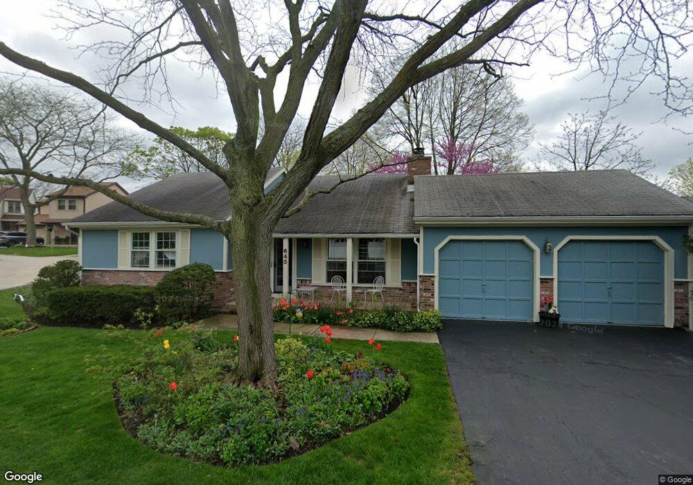
645 Stout Ct Gurnee, IL 60031
Estimated Value: $307,815 - $329,000
2
Beds
2
Baths
1,108
Sq Ft
$286/Sq Ft
Est. Value
About This Home
This home is located at 645 Stout Ct, Gurnee, IL 60031 and is currently estimated at $316,954, approximately $286 per square foot. 645 Stout Ct is a home located in Lake County with nearby schools including Woodland Primary School, Woodland Elementary School, and Woodland Intermediate School.
Ownership History
Date
Name
Owned For
Owner Type
Purchase Details
Closed on
Dec 28, 2001
Sold by
Adekoya Ademola
Bought by
Rinehart Mary K
Current Estimated Value
Home Financials for this Owner
Home Financials are based on the most recent Mortgage that was taken out on this home.
Original Mortgage
$132,000
Outstanding Balance
$54,402
Interest Rate
7.16%
Estimated Equity
$262,552
Purchase Details
Closed on
Nov 27, 2000
Sold by
Blake Gilbert T and Blake Natalie E
Bought by
Adekoya Ademola
Home Financials for this Owner
Home Financials are based on the most recent Mortgage that was taken out on this home.
Original Mortgage
$145,500
Interest Rate
7.7%
Mortgage Type
Stand Alone First
Create a Home Valuation Report for This Property
The Home Valuation Report is an in-depth analysis detailing your home's value as well as a comparison with similar homes in the area
Home Values in the Area
Average Home Value in this Area
Purchase History
| Date | Buyer | Sale Price | Title Company |
|---|---|---|---|
| Rinehart Mary K | $165,000 | First American Title | |
| Adekoya Ademola | $145,500 | -- |
Source: Public Records
Mortgage History
| Date | Status | Borrower | Loan Amount |
|---|---|---|---|
| Open | Rinehart Mary K | $132,000 | |
| Previous Owner | Adekoya Ademola | $145,500 | |
| Closed | Adekoya Ademola | $21,825 |
Source: Public Records
Tax History Compared to Growth
Tax History
| Year | Tax Paid | Tax Assessment Tax Assessment Total Assessment is a certain percentage of the fair market value that is determined by local assessors to be the total taxable value of land and additions on the property. | Land | Improvement |
|---|---|---|---|---|
| 2024 | $6,428 | $87,683 | $10,039 | $77,644 |
| 2023 | $5,355 | $81,406 | $9,320 | $72,086 |
| 2022 | $5,355 | $65,939 | $10,449 | $55,490 |
| 2021 | $4,096 | $55,521 | $8,798 | $46,723 |
| 2020 | $3,945 | $54,157 | $8,582 | $45,575 |
| 2019 | $3,820 | $52,585 | $8,333 | $44,252 |
| 2018 | $3,237 | $46,915 | $3,652 | $43,263 |
| 2017 | $3,191 | $45,570 | $3,547 | $42,023 |
| 2016 | $3,128 | $43,541 | $3,389 | $40,152 |
| 2015 | $3,001 | $41,294 | $3,214 | $38,080 |
| 2014 | $4,072 | $48,065 | $3,171 | $44,894 |
| 2012 | $3,974 | $52,737 | $3,195 | $49,542 |
Source: Public Records
Map
Nearby Homes
- 600 Creekside Cir Unit 85
- 711 Creekside Cir Unit 103
- 640 Wilbur Ct
- 638 Dordan Ct
- 651 White Ct
- 741 Colby Ct Unit U42
- 690 Chandler Rd Unit 207
- 690 Chandler Rd Unit 305
- 776 Chandler Rd
- 6121 Brookstone Place
- 917 Vose Dr Unit 304
- 914 Vose Dr
- 920 Vose Dr Unit 304
- 920 Vose Dr Unit 106
- 920 Vose Dr Unit 105
- 6141 Crossland Blvd
- 6161 Oakmont Ln
- 6191 Oakmont Ln
- 6091 Washington St
- 17150 Washington St