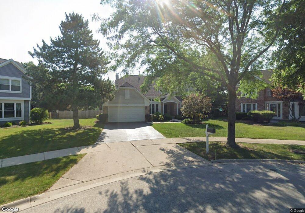
645 Vernon Ct N Buffalo Grove, IL 60089
South Buffalo Grove NeighborhoodEstimated Value: $617,000 - $705,000
4
Beds
3
Baths
2,909
Sq Ft
$227/Sq Ft
Est. Value
About This Home
This home is located at 645 Vernon Ct N, Buffalo Grove, IL 60089 and is currently estimated at $659,909, approximately $226 per square foot. 645 Vernon Ct N is a home located in Cook County with nearby schools including Henry W Longfellow Elementary School, Cooper Middle School, and Buffalo Grove High School.
Ownership History
Date
Name
Owned For
Owner Type
Purchase Details
Closed on
Sep 19, 2024
Sold by
Dote Family Trust Agreement and Dote Michael A
Bought by
Dote Family Trust and Dote
Current Estimated Value
Purchase Details
Closed on
Nov 11, 2015
Sold by
Dote Michael A and Dote Dorothy I
Bought by
Dote Family Trust Agreement
Purchase Details
Closed on
May 13, 2008
Sold by
Dote Michael and Dote Dorothy I
Bought by
Dote Michael A and Dote Dorothy I
Create a Home Valuation Report for This Property
The Home Valuation Report is an in-depth analysis detailing your home's value as well as a comparison with similar homes in the area
Home Values in the Area
Average Home Value in this Area
Purchase History
| Date | Buyer | Sale Price | Title Company |
|---|---|---|---|
| Dote Family Trust | -- | None Listed On Document | |
| Dote Family Trust Agreement | -- | Attorney | |
| Dote Michael A | -- | None Available |
Source: Public Records
Tax History Compared to Growth
Tax History
| Year | Tax Paid | Tax Assessment Tax Assessment Total Assessment is a certain percentage of the fair market value that is determined by local assessors to be the total taxable value of land and additions on the property. | Land | Improvement |
|---|---|---|---|---|
| 2024 | $12,201 | $44,088 | $11,215 | $32,873 |
| 2023 | $11,680 | $44,088 | $11,215 | $32,873 |
| 2022 | $11,680 | $44,088 | $11,215 | $32,873 |
| 2021 | $11,843 | $39,517 | $7,944 | $31,573 |
| 2020 | $11,666 | $39,517 | $7,944 | $31,573 |
| 2019 | $11,699 | $43,957 | $7,944 | $36,013 |
| 2018 | $14,445 | $45,379 | $7,009 | $38,370 |
| 2017 | $14,199 | $45,379 | $7,009 | $38,370 |
| 2016 | $13,468 | $45,379 | $7,009 | $38,370 |
| 2015 | $12,618 | $39,766 | $6,074 | $33,692 |
| 2014 | $12,427 | $39,766 | $6,074 | $33,692 |
| 2013 | $11,470 | $39,766 | $6,074 | $33,692 |
Source: Public Records
Map
Nearby Homes
- 665 Thornwood Dr
- 455 Mayfair Ln
- 476 Raupp Blvd
- 250 Old Oak Dr Unit 275
- 234 Mohawk Trail
- 820 Weidner Rd Unit 409
- 535 Estate Dr
- 813 Stradford Cir Unit 21B2
- 310 Rosewood Ave
- 859 Beechwood Rd
- 410 Chatham Cir
- 561 Park View Terrace Unit 153
- 3300 N Carriageway Dr Unit 317
- 443 Diane Dr
- 10 Old Oak Dr Unit 103
- 3401 N Ellen Dr
- 51 Old Oak Dr Unit 414
- 51 Old Oak Dr Unit 302
- 408 Indian Hill Dr
- 921 Bernard Dr
- 655 Vernon Ct N
- 635 Vernon Ct N
- 650 Mayfair Ln
- 660 Mayfair Ln
- 670 Mayfair Ln
- 640 Mayfair Ln
- 665 Vernon Ct N
- 680 Mayfair Ln
- 625 Vernon Ct N
- 620 Mayfair Ct N
- 610 Mayfair Ct N
- 690 Mayfair Ln
- 675 Vernon Ct N
- 615 Vernon Ct N
- 630 Mayfair Ct N
- 700 Mayfair Ln
- 685 Vernon Ln
- 605 Vernon Ln
- 635 Mayfair Ln
- 600 Mayfair Ct N