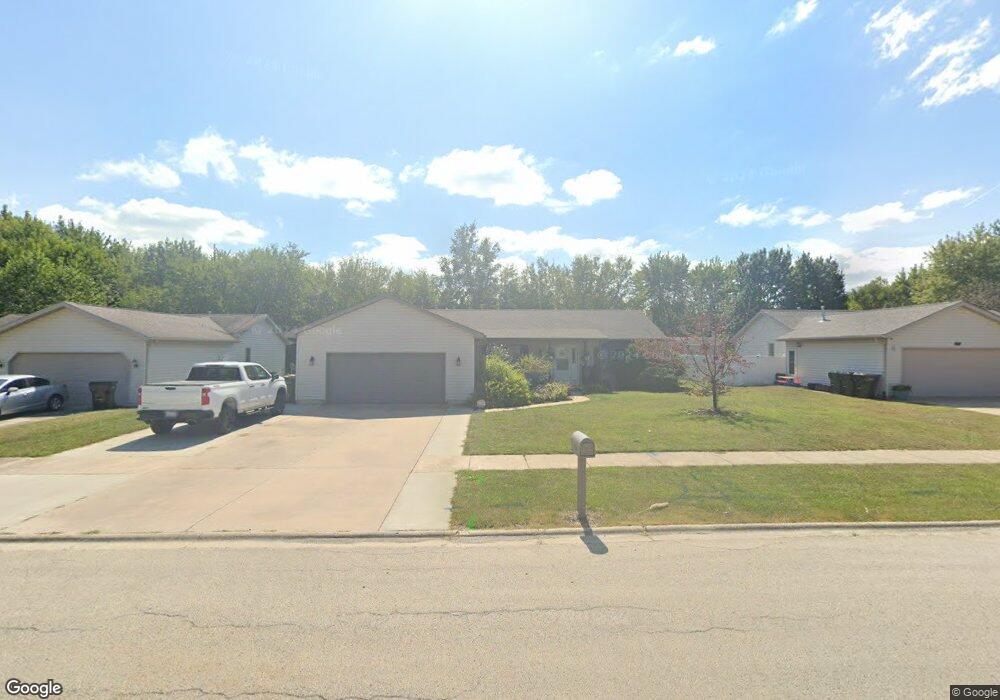
645 W Anndon St Braidwood, IL 60408
Estimated Value: $250,031 - $286,000
--
Bed
--
Bath
--
Sq Ft
0.28
Acres
About This Home
This home is located at 645 W Anndon St, Braidwood, IL 60408 and is currently estimated at $270,508. 645 W Anndon St is a home located in Will County with nearby schools including Reed-Custer Intermediate School, Reed-Custer Middle School, and Reed-Custer High School.
Ownership History
Date
Name
Owned For
Owner Type
Purchase Details
Closed on
Jul 18, 2022
Sold by
Bernal Gina M and Thompson Gina M
Bought by
Thompson Gina M and Thompson David G
Current Estimated Value
Home Financials for this Owner
Home Financials are based on the most recent Mortgage that was taken out on this home.
Original Mortgage
$201,058
Outstanding Balance
$191,117
Interest Rate
4.99%
Mortgage Type
FHA
Estimated Equity
$79,391
Purchase Details
Closed on
Aug 7, 2003
Sold by
Grundy Bank
Bought by
Bernal Gina M
Home Financials for this Owner
Home Financials are based on the most recent Mortgage that was taken out on this home.
Original Mortgage
$148,896
Interest Rate
5.62%
Mortgage Type
FHA
Create a Home Valuation Report for This Property
The Home Valuation Report is an in-depth analysis detailing your home's value as well as a comparison with similar homes in the area
Home Values in the Area
Average Home Value in this Area
Purchase History
| Date | Buyer | Sale Price | Title Company |
|---|---|---|---|
| Thompson Gina M | -- | None Listed On Document | |
| Bernal Gina M | $151,000 | Ticor Title |
Source: Public Records
Mortgage History
| Date | Status | Borrower | Loan Amount |
|---|---|---|---|
| Open | Thompson Gina M | $201,058 | |
| Previous Owner | Bernal Gina M | $148,896 |
Source: Public Records
Tax History Compared to Growth
Tax History
| Year | Tax Paid | Tax Assessment Tax Assessment Total Assessment is a certain percentage of the fair market value that is determined by local assessors to be the total taxable value of land and additions on the property. | Land | Improvement |
|---|---|---|---|---|
| 2024 | $5,036 | $83,360 | $15,883 | $67,477 |
| 2023 | $5,036 | $74,662 | $14,226 | $60,436 |
| 2022 | $4,252 | $67,751 | $12,909 | $54,842 |
| 2021 | $4,112 | $64,666 | $12,321 | $52,345 |
| 2020 | $3,893 | $61,266 | $11,673 | $49,593 |
| 2019 | $3,666 | $57,853 | $11,023 | $46,830 |
| 2018 | $3,520 | $55,361 | $10,548 | $44,813 |
| 2017 | $3,452 | $54,275 | $10,341 | $43,934 |
| 2016 | $3,359 | $52,490 | $10,001 | $42,489 |
| 2015 | $3,257 | $51,135 | $9,743 | $41,392 |
| 2014 | $3,257 | $51,135 | $9,743 | $41,392 |
| 2013 | $3,257 | $54,690 | $10,420 | $44,270 |
Source: Public Records
Map
Nearby Homes
- 495 W 6th St
- 605 N Division St
- 430 W 7th St
- 584 N Division St
- 642 W Bergera Rd
- 0000 N Division St
- 495 N Division St
- 837 Blackhawk Dr
- 470 N Walker St
- 466 N Walker St
- 886 Western Ave
- 460 N School St
- 470 N School St
- 999 W Cermak Rd
- 1021 W Cermak Rd
- 571 N Lincoln St
- 340 N Walker St
- 1034 Madison Ave
- 1018 Madison Ave
- 203 E Coal City Rd