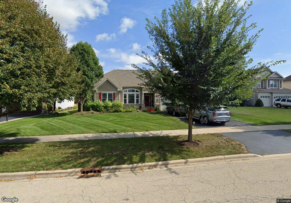
645 Western Dr North Aurora, IL 60542
Nelson Lake NeighborhoodEstimated Value: $509,052 - $597,000
3
Beds
2
Baths
2,462
Sq Ft
$223/Sq Ft
Est. Value
About This Home
This home is located at 645 Western Dr, North Aurora, IL 60542 and is currently estimated at $549,263, approximately $223 per square foot. 645 Western Dr is a home located in Kane County with nearby schools including Fearn Elementary School, Herget Middle School, and West Aurora High School.
Ownership History
Date
Name
Owned For
Owner Type
Purchase Details
Closed on
Mar 6, 2006
Sold by
Remington Landing Llc
Bought by
Thompson Tawnya E
Current Estimated Value
Home Financials for this Owner
Home Financials are based on the most recent Mortgage that was taken out on this home.
Original Mortgage
$290,200
Outstanding Balance
$164,493
Interest Rate
6.22%
Mortgage Type
Fannie Mae Freddie Mac
Estimated Equity
$384,770
Create a Home Valuation Report for This Property
The Home Valuation Report is an in-depth analysis detailing your home's value as well as a comparison with similar homes in the area
Home Values in the Area
Average Home Value in this Area
Purchase History
| Date | Buyer | Sale Price | Title Company |
|---|---|---|---|
| Thompson Tawnya E | $363,000 | Chicago Title Insurance Co |
Source: Public Records
Mortgage History
| Date | Status | Borrower | Loan Amount |
|---|---|---|---|
| Open | Thompson Tawnya E | $290,200 |
Source: Public Records
Tax History
| Year | Tax Paid | Tax Assessment Tax Assessment Total Assessment is a certain percentage of the fair market value that is determined by local assessors to be the total taxable value of land and additions on the property. | Land | Improvement |
|---|---|---|---|---|
| 2024 | $11,349 | $155,896 | $12,735 | $143,161 |
| 2023 | $11,022 | $140,701 | $11,494 | $129,207 |
| 2022 | $10,049 | $125,078 | $10,549 | $114,529 |
| 2021 | $9,868 | $119,715 | $10,097 | $109,618 |
| 2020 | $9,792 | $116,909 | $9,860 | $107,049 |
| 2019 | $10,117 | $115,192 | $9,715 | $105,477 |
| 2018 | $10,340 | $114,044 | $9,715 | $104,329 |
| 2017 | $10,508 | $112,748 | $9,605 | $103,143 |
| 2016 | $10,927 | $113,801 | $9,352 | $104,449 |
| 2015 | -- | $110,537 | $8,987 | $101,550 |
| 2014 | -- | $104,435 | $10,000 | $94,435 |
| 2013 | -- | $104,435 | $10,000 | $94,435 |
Source: Public Records
Map
Nearby Homes
- 621 Western Dr Unit 2
- 2921 Mc Duffee Cir Unit 1A
- 2924 Bauer Rd
- 3S791 Terrace Dr
- 2593 Moutray Ln
- 2772 Berman Rd Unit 1A
- 601 Meade Blvd
- 2518 Imgrund Rd Unit 3
- 443 Glover Dr
- 1009 Bennett Ct
- 4s072 Deerpath Rd
- 3S177 Deerpath Rd
- 2S976 Deerpath Rd
- 924 Fair Meadow St
- 867 Fair Meadow Ct
- 925 Fair Meadow St
- 1791 Breton Ave
- 1799 Breton Ave
- 2S720 Nelson Lake Rd
- 1638 Patterson Ave
- 653 Western Dr
- 637 Western Dr
- 661 Western Dr
- 629 Western Dr
- 2808 Leonard Ln
- 2816 Leonard Ln
- 2800 Leonard Ln
- 2824 Leonard Ln
- 669 Western Dr
- 644 Western Dr
- 652 Western Dr
- 660 Western Dr
- 2792 Leonard Ln
- 2832 Leonard Ln
- 677 Western Dr
- 613 Western Dr
- 668 Western Dr
- 2840 Leonard Ln
- 2784 Leonard Ln
- 685 Western Dr
Your Personal Tour Guide
Ask me questions while you tour the home.