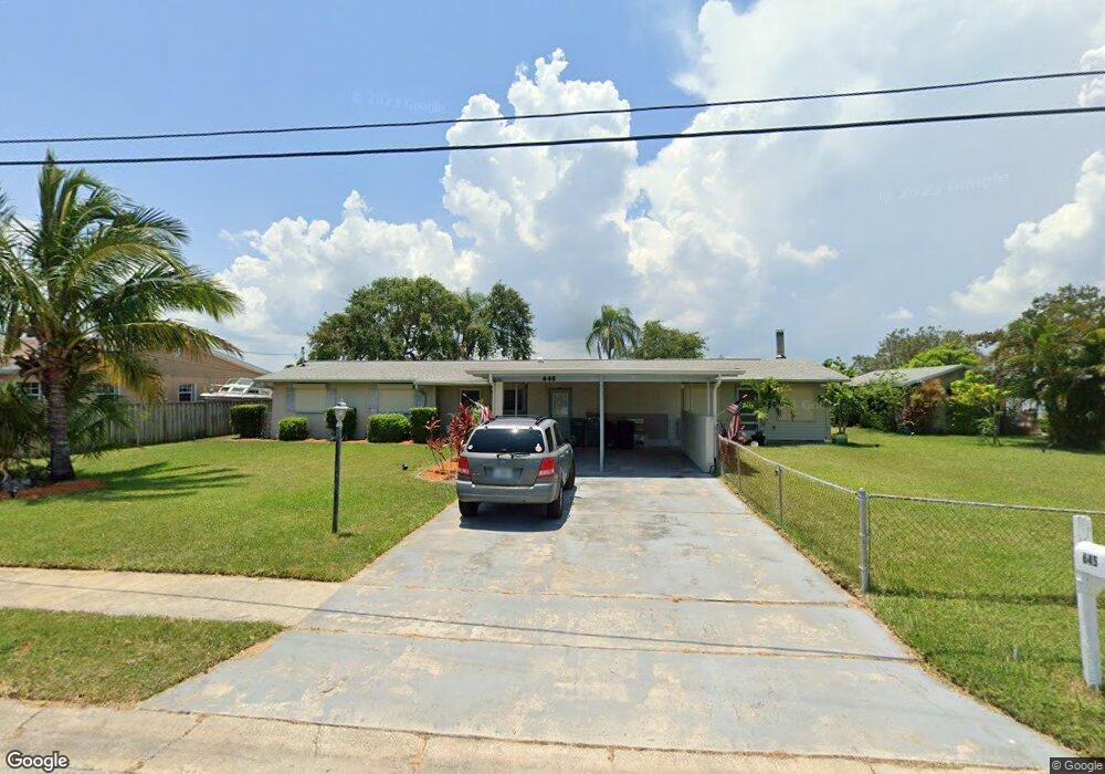
645 Wiley Ct Merritt Island, FL 32952
Estimated Value: $472,000 - $697,000
4
Beds
2
Baths
1,896
Sq Ft
$305/Sq Ft
Est. Value
About This Home
This home is located at 645 Wiley Ct, Merritt Island, FL 32952 and is currently estimated at $578,806, approximately $305 per square foot. 645 Wiley Ct is a home located in Brevard County with nearby schools including Audubon Elementary School, Thomas Jefferson Middle School, and Merritt Island High School.
Ownership History
Date
Name
Owned For
Owner Type
Purchase Details
Closed on
Jul 18, 2015
Sold by
Pace Marie H and Pace Marie Harrison
Bought by
Hines Lane and Mao Kimseng Hap
Current Estimated Value
Home Financials for this Owner
Home Financials are based on the most recent Mortgage that was taken out on this home.
Original Mortgage
$35,000
Outstanding Balance
$27,499
Interest Rate
4.08%
Estimated Equity
$551,307
Purchase Details
Closed on
May 12, 2015
Sold by
Brevard County Florida
Bought by
Pace Marie H
Create a Home Valuation Report for This Property
The Home Valuation Report is an in-depth analysis detailing your home's value as well as a comparison with similar homes in the area
Home Values in the Area
Average Home Value in this Area
Purchase History
| Date | Buyer | Sale Price | Title Company |
|---|---|---|---|
| Hines Lane | $300,000 | The Title Co Brevard Inc | |
| Pace Marie H | -- | None Available |
Source: Public Records
Mortgage History
| Date | Status | Borrower | Loan Amount |
|---|---|---|---|
| Open | Hines Lane | $35,000 |
Source: Public Records
Tax History Compared to Growth
Tax History
| Year | Tax Paid | Tax Assessment Tax Assessment Total Assessment is a certain percentage of the fair market value that is determined by local assessors to be the total taxable value of land and additions on the property. | Land | Improvement |
|---|---|---|---|---|
| 2025 | $3,174 | $252,370 | -- | -- |
| 2024 | $3,138 | $245,260 | -- | -- |
| 2023 | $3,138 | $238,120 | $0 | $0 |
| 2022 | $2,933 | $231,190 | $0 | $0 |
| 2021 | $3,054 | $224,460 | $0 | $0 |
| 2020 | $3,000 | $221,370 | $0 | $0 |
| 2019 | $2,951 | $216,400 | $0 | $0 |
| 2018 | $2,958 | $212,370 | $0 | $0 |
| 2017 | $2,987 | $207,990 | $0 | $0 |
| 2016 | $3,036 | $203,720 | $130,000 | $73,720 |
| 2015 | $2,175 | $144,670 | $130,000 | $14,670 |
| 2014 | $2,187 | $143,530 | $125,000 | $18,530 |
Source: Public Records
Map
Nearby Homes
- 635 Barrett Dr
- 1455 Hannah Dr
- 1395 Floral Ln
- 535 Barrett Dr
- 1510 Holly Ave
- 1425 Lester Ct
- 1315 Island Dr
- 1545 Cunningham Ave
- 1340 Lester Ct
- 1625 Hortana Dr
- 365 Hula Cir
- 1668 Oceana Dr
- 1675 Oceana Dr Unit 8
- 1585 Anchor Ln
- 1685 Savannah Dr
- 2437 Yount Dr
- 3000 Yount Dr
- 1620 Yount Dr
- 1613 Dock St
- 325 Simpson Cir