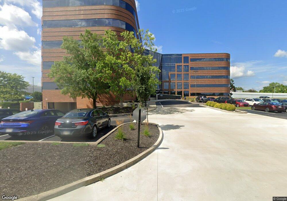
6450 Poe Ave Dayton, OH 45414
Estimated Value: $19,336,742
--
Bed
--
Bath
172,519
Sq Ft
$112/Sq Ft
Est. Value
About This Home
This home is located at 6450 Poe Ave, Dayton, OH 45414 and is currently estimated at $19,336,742, approximately $112 per square foot. 6450 Poe Ave is a home located in Montgomery County with nearby schools including Demmitt Elementary School, Smith Middle School, and Butler High School.
Ownership History
Date
Name
Owned For
Owner Type
Purchase Details
Closed on
Mar 29, 2017
Sold by
Sand Lake Plaza Llc
Bought by
Sand Lake Plaza Llc
Current Estimated Value
Home Financials for this Owner
Home Financials are based on the most recent Mortgage that was taken out on this home.
Original Mortgage
$8,500,000
Interest Rate
4.1%
Mortgage Type
Commercial
Purchase Details
Closed on
Mar 9, 2007
Sold by
B W Lp
Bought by
Sand Lake Plaza Llc
Create a Home Valuation Report for This Property
The Home Valuation Report is an in-depth analysis detailing your home's value as well as a comparison with similar homes in the area
Home Values in the Area
Average Home Value in this Area
Purchase History
| Date | Buyer | Sale Price | Title Company |
|---|---|---|---|
| Sand Lake Plaza Llc | -- | Mevcantile Title | |
| Sand Lake Property Llc | $8,500,000 | Mechantile Title | |
| Sand Lake Plaza Llc | -- | Chicago Title Insurance |
Source: Public Records
Mortgage History
| Date | Status | Borrower | Loan Amount |
|---|---|---|---|
| Previous Owner | Sand Lake Property Llc | $8,500,000 |
Source: Public Records
Tax History Compared to Growth
Tax History
| Year | Tax Paid | Tax Assessment Tax Assessment Total Assessment is a certain percentage of the fair market value that is determined by local assessors to be the total taxable value of land and additions on the property. | Land | Improvement |
|---|---|---|---|---|
| 2024 | $245,942 | $3,421,250 | $155,850 | $3,265,400 |
| 2023 | $245,942 | $3,421,250 | $155,850 | $3,265,400 |
| 2022 | $236,817 | $2,975,000 | $135,520 | $2,839,480 |
| 2021 | $239,494 | $2,975,000 | $135,520 | $2,839,480 |
| 2020 | $238,499 | $2,975,000 | $135,520 | $2,839,480 |
| 2019 | $238,969 | $2,975,000 | $135,520 | $2,839,480 |
| 2018 | $241,352 | $2,975,000 | $135,520 | $2,839,480 |
| 2017 | $185,083 | $2,281,150 | $135,520 | $2,145,630 |
| 2016 | $184,201 | $2,281,150 | $135,520 | $2,145,630 |
| 2015 | $183,131 | $2,281,150 | $135,520 | $2,145,630 |
| 2014 | $183,131 | $2,281,150 | $135,520 | $2,145,630 |
| 2012 | -- | $2,126,040 | $162,980 | $1,963,060 |
Source: Public Records
Map
Nearby Homes
- 3320 Benchwood Rd
- 6114 Miller Ln
- 6020 Volkman Dr
- 3291 Benchwood Rd
- 3280 Benchwood Rd
- 2100 Harding Ave
- 2165 Blake Ave
- 5586 Wadsworth Rd
- 2109 Cadie Ave
- 5741 Lily Ln
- 2160 Martin Ave
- 6494 Shore Dr
- 2159 Gipsy Dr
- 2625 Secretariat Ct
- 6430 Oakhurst Place
- 6512 Shore Dr
- 6027 Riva Ridge Dr
- 2021 Gipsy Dr
- 2203 Cardinal Ave
- 679 Deerhurst Dr
- 3575 Wyse Rd
- 6520 Poe Ave
- 6435 Shady Knoll Dr
- 6425 Shady Knoll Dr
- 6415 Shady Knoll Dr
- 6335 Shady Knoll Dr
- 6420 Miller Ln
- 6410 Miller Ln
- 6530 Poe Ave
- 6400 Miller Ln
- 6661 Homestretch Rd
- 6316 Miller Ln
- 6325 Shady Knoll Dr
- 6312 Miller Ln
- 6308 Miller Ln
- 6215 Shady Knoll Dr
- 6300 Miller Ln
- 6425 Miller Ln
- 3920 Space Dr
- 6363 Miller Ln