64504 Mount Emily Rd La Grande, OR 97850
Estimated Value: $282,000 - $404,194
3
Beds
2
Baths
1,216
Sq Ft
$282/Sq Ft
Est. Value
About This Home
This home is located at 64504 Mount Emily Rd, La Grande, OR 97850 and is currently estimated at $343,097, approximately $282 per square foot. 64504 Mount Emily Rd is a home located in Union County with nearby schools including La Grande High School.
Ownership History
Date
Name
Owned For
Owner Type
Purchase Details
Closed on
May 4, 2020
Sold by
Weller Richard E
Bought by
Chambers Sean and Chambers Kitia
Current Estimated Value
Home Financials for this Owner
Home Financials are based on the most recent Mortgage that was taken out on this home.
Original Mortgage
$190,000
Outstanding Balance
$167,627
Interest Rate
3.3%
Mortgage Type
New Conventional
Estimated Equity
$175,470
Create a Home Valuation Report for This Property
The Home Valuation Report is an in-depth analysis detailing your home's value as well as a comparison with similar homes in the area
Home Values in the Area
Average Home Value in this Area
Purchase History
| Date | Buyer | Sale Price | Title Company |
|---|---|---|---|
| Chambers Sean | $200,000 | First American |
Source: Public Records
Mortgage History
| Date | Status | Borrower | Loan Amount |
|---|---|---|---|
| Open | Chambers Sean | $190,000 |
Source: Public Records
Tax History Compared to Growth
Tax History
| Year | Tax Paid | Tax Assessment Tax Assessment Total Assessment is a certain percentage of the fair market value that is determined by local assessors to be the total taxable value of land and additions on the property. | Land | Improvement |
|---|---|---|---|---|
| 2025 | $2,139 | $183,986 | $21,756 | $162,230 |
| 2024 | $1,452 | $131,220 | $21,120 | $110,100 |
| 2023 | $1,539 | $127,400 | $20,510 | $106,890 |
| 2022 | $1,405 | $123,700 | $19,917 | $103,783 |
| 2021 | $1,475 | $120,101 | $19,342 | $100,759 |
| 2020 | $1,312 | $116,604 | $18,780 | $97,824 |
| 2019 | $1,281 | $113,208 | $18,232 | $94,976 |
| 2018 | $1,263 | $109,911 | $17,702 | $92,209 |
| 2017 | $1,229 | $106,711 | $17,187 | $89,524 |
| 2016 | $1,170 | $103,603 | $34,203 | $69,400 |
| 2015 | $938 | $102,155 | $32,975 | $69,180 |
| 2014 | $938 | $101,267 | $32,767 | $68,500 |
| 2013 | $922 | $99,118 | $15,273 | $83,845 |
Source: Public Records
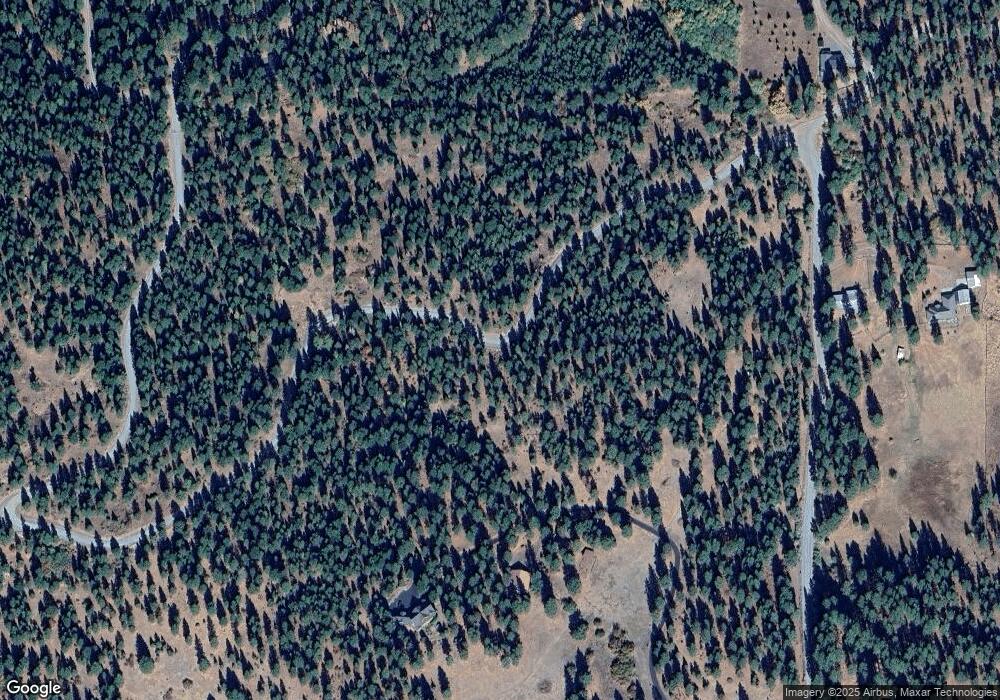
Map
Nearby Homes
- 63881 Lester Rd
- 61764 Blackhawk Trail Ln
- 15274 Harney Ave
- 15275 N Union St
- 1012 Lake Ave
- 1018 Lake Ave
- 0 N Umatilla St
- 110 Lake Ave
- 3103 N Walnut St
- 123 Lagrande
- 911 Division Ave
- 2906 N Oak St
- 62123 Chandler Loop
- 2702 N Oak St
- 2708 N Depot St
- 701 Y Ave
- 1018 Y Ave
- 1804 Z Ave
- 2417 N Fir St
- 62153 Mathson Rd
- 64482 Mount Emily Rd
- 64608 Mt Emily Rd
- 64608 Mount Emily Rd
- 64511 Mount Emily Rd
- 64406 Mount Emily Rd
- 64340 Mount Emily Rd
- 64344 Mount Emily Rd
- 64381 Mount Emily Rd
- 64345 Mount Emily Rd
- 64647 Mount Emily Rd
- 63696 Owsley Canyon Rd
- 63670 Owsley Canyon Rd
- 63568 Owsley Canyon Rd
- 63445 Owsley Canyon Rd
- 63432 Owsley Canyon Rd
- 63439 Owsley Canyon Rd
- 62114 Igo Ln
- 62116 Igo Ln