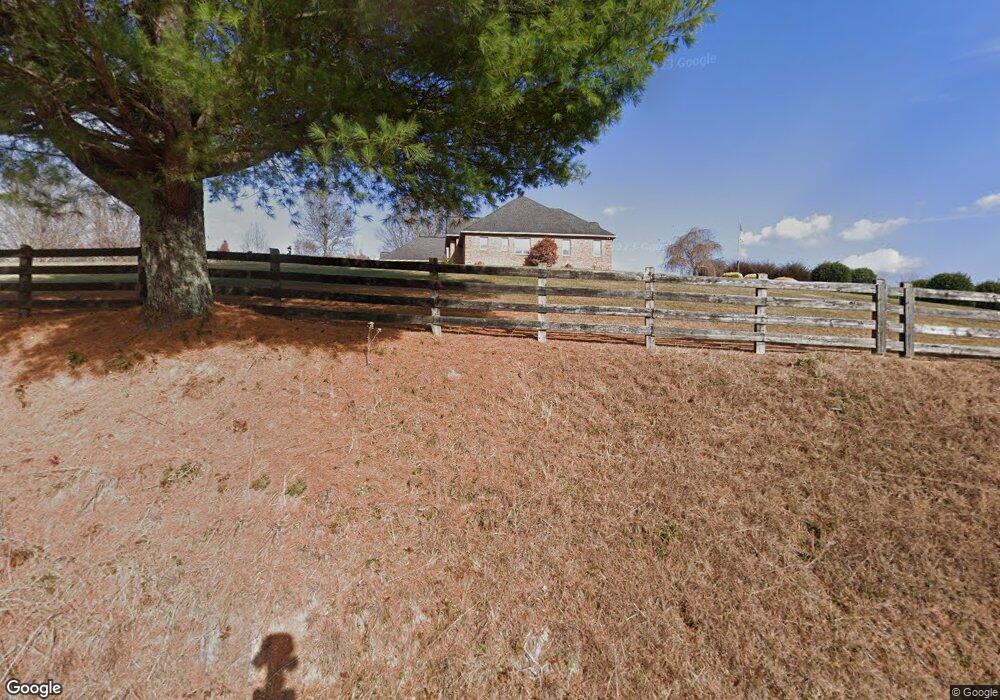
6452 Airline Rd Young Harris, GA 30582
Estimated Value: $906,000 - $1,052,875
--
Bed
2
Baths
3,479
Sq Ft
$282/Sq Ft
Est. Value
About This Home
This home is located at 6452 Airline Rd, Young Harris, GA 30582 and is currently estimated at $979,438, approximately $281 per square foot. 6452 Airline Rd is a home located in Towns County with nearby schools including Towns County Elementary School, Towns County Middle School, and Towns County High School.
Ownership History
Date
Name
Owned For
Owner Type
Purchase Details
Closed on
Mar 12, 2024
Sold by
Day Ronald
Bought by
Day Gail H
Current Estimated Value
Purchase Details
Closed on
Mar 27, 2015
Sold by
Day Ronald D
Bought by
Day Ronald D and Day Gail H
Purchase Details
Closed on
May 20, 2010
Sold by
Day Gail H
Bought by
Day Ronald D
Purchase Details
Closed on
Sep 29, 2006
Sold by
Holcomb Eugene
Bought by
Day Ronald D and Day Gall H
Create a Home Valuation Report for This Property
The Home Valuation Report is an in-depth analysis detailing your home's value as well as a comparison with similar homes in the area
Home Values in the Area
Average Home Value in this Area
Purchase History
| Date | Buyer | Sale Price | Title Company |
|---|---|---|---|
| Day Gail H | -- | -- | |
| Day Ronald D | -- | -- | |
| Day Ronald D | -- | -- | |
| Day Ronald D | -- | -- |
Source: Public Records
Tax History Compared to Growth
Tax History
| Year | Tax Paid | Tax Assessment Tax Assessment Total Assessment is a certain percentage of the fair market value that is determined by local assessors to be the total taxable value of land and additions on the property. | Land | Improvement |
|---|---|---|---|---|
| 2024 | $3,398 | $430,484 | $52,446 | $378,038 |
| 2023 | $3,649 | $364,275 | $28,091 | $336,184 |
| 2022 | $3,208 | $315,527 | $23,409 | $292,118 |
| 2021 | $3,246 | $284,646 | $23,409 | $261,237 |
| 2020 | $3,406 | $281,277 | $23,409 | $257,868 |
| 2019 | $3,173 | $275,196 | $25,507 | $249,689 |
| 2018 | $3,211 | $272,352 | $25,507 | $246,845 |
| 2017 | $3,268 | $270,994 | $28,368 | $242,626 |
| 2016 | $3,000 | $266,266 | $23,640 | $242,626 |
| 2015 | $3,125 | $251,086 | $29,340 | $221,746 |
| 2014 | $3,407 | $251,086 | $29,340 | $221,746 |
| 2013 | -- | $251,086 | $29,340 | $221,746 |
Source: Public Records
Map
Nearby Homes
- 314 Ruby Ridge
- 5928 Brasstown Creek Estates Rd
- 5928 Brasstown Creek Estates Rd Unit 43 & 53
- 6726 Morgan Ct
- LOT 3 Morgan Creek Ph II
- Lot 3 Morgan Dr
- 5827 Brasstown Creek Estate
- 6704 Morgan Dr
- 6109 Martin Heights Dr
- 6124 Stone Mill Dr
- 181 Morgan Ridge Ct
- Lot 4 Morgan Ridge Dr
- Lot 3 Morgan Ridge Dr
- TRACT 4 Morgan Ridge Dr
- 6610 Morgan Ridge Dr
- 5457 Willow Springs Rd
- 1380 Deerfield Rd
- 6205 Trevor Way
- 6211 Southern Rd
- 30 Trillum Trail
- 6451 Airline Rd
- 6431 Airline Rd
- 6156 Southern Rd
- 6216 Byers Creek Rd
- 6216 Byers Creek Rd
- 6005 Hubbard Crossing
- 6444 Airline Rd
- 395 Holloway Dr
- 481 Holloway Dr
- 47 Woodpecker Dr
- 6383 Airline Rd
- 462 Ivy Log Heights Rd
- 470 Ivy Log Heights Rd
- 530 Ivy Log Heights Rd
- 463 Ivy Log Heights Rd
- 514 Overlook Cir
- 462 Ivy Log Heights Rd
- 109 Woodpecker Dr