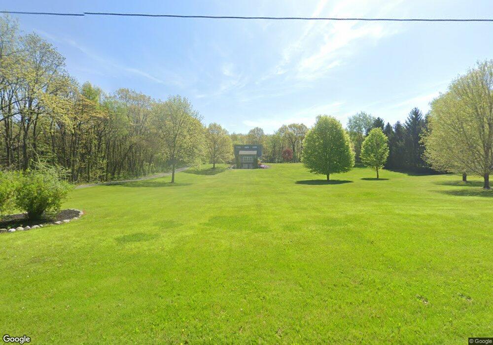
64521 Fair Rd Sturgis, MI 49091
Estimated Value: $387,000 - $469,000
3
Beds
4
Baths
2,257
Sq Ft
$194/Sq Ft
Est. Value
About This Home
This home is located at 64521 Fair Rd, Sturgis, MI 49091 and is currently estimated at $437,321, approximately $193 per square foot. 64521 Fair Rd is a home located in St. Joseph County with nearby schools including Centreville Elementary School, Centreville Junior/Senior High School, and New Dawn School.
Ownership History
Date
Name
Owned For
Owner Type
Purchase Details
Closed on
Sep 26, 2023
Sold by
Hagadorn Steve
Bought by
Nisley Kenneth and Nisley Neoma
Current Estimated Value
Home Financials for this Owner
Home Financials are based on the most recent Mortgage that was taken out on this home.
Original Mortgage
$80,000
Outstanding Balance
$19,080
Interest Rate
2.3%
Mortgage Type
New Conventional
Estimated Equity
$418,241
Purchase Details
Closed on
Jan 6, 2006
Sold by
Quirin Mark E and Harman Betty A
Bought by
Hagadorn Steve
Home Financials for this Owner
Home Financials are based on the most recent Mortgage that was taken out on this home.
Original Mortgage
$145,000
Interest Rate
6.42%
Mortgage Type
Fannie Mae Freddie Mac
Purchase Details
Closed on
Jan 1, 1901
Create a Home Valuation Report for This Property
The Home Valuation Report is an in-depth analysis detailing your home's value as well as a comparison with similar homes in the area
Home Values in the Area
Average Home Value in this Area
Purchase History
| Date | Buyer | Sale Price | Title Company |
|---|---|---|---|
| Nisley Kenneth | $376,000 | None Listed On Document | |
| Hagadorn Steve | $241,814 | None Available | |
| -- | -- | -- |
Source: Public Records
Mortgage History
| Date | Status | Borrower | Loan Amount |
|---|---|---|---|
| Open | Nisley Kenneth | $80,000 | |
| Closed | Nisley Kenneth | $95,000 | |
| Previous Owner | Hagadorn Steve | $145,000 |
Source: Public Records
Tax History Compared to Growth
Tax History
| Year | Tax Paid | Tax Assessment Tax Assessment Total Assessment is a certain percentage of the fair market value that is determined by local assessors to be the total taxable value of land and additions on the property. | Land | Improvement |
|---|---|---|---|---|
| 2025 | $8,829 | $203,800 | $48,200 | $155,600 |
| 2024 | $1,973 | $187,600 | $42,000 | $145,600 |
| 2023 | $1,221 | $174,300 | $34,000 | $140,300 |
| 2022 | $0 | $147,200 | $25,200 | $122,000 |
| 2021 | $1,905 | $128,900 | $23,600 | $105,300 |
| 2020 | $1,113 | $129,500 | $22,800 | $106,700 |
| 2019 | $1,092 | $117,500 | $22,800 | $94,700 |
| 2018 | $2,744 | $110,000 | $22,800 | $87,200 |
| 2017 | $2,663 | $109,300 | $109,300 | $0 |
| 2016 | -- | $108,200 | $108,200 | $0 |
| 2015 | -- | $102,800 | $0 | $0 |
| 2014 | -- | $99,300 | $99,300 | $0 |
| 2012 | -- | $92,600 | $92,600 | $0 |
Source: Public Records
Map
Nearby Homes
- V/L Banker St
- 65890 Burg Rd
- 23772 Wilson Rd
- 119 V/L Island Hills Dr
- 61984 Bayshore Dr
- 61570 Raintree Blvd
- V/L Raintree Blvd
- 66109 Hideaway Ln
- 23974 Findley Rd
- 61704 Crystal Beach Dr
- 67696 Thunderbird Dr
- VL1 Ottokee Dr
- VL2 Ottokee Dr
- 0 Vl Seneca Ct
- 61436 Crystal Beach Dr
- 27304 Oak Dr
- 22025 Airline Rd
- 27810 Maystead Rd
- 708 N Centerville Rd
- 0 Rainbow Dr
- 64729 Fair Rd
- 64585 Fair Rd
- 23869 Featherstone Rd
- 23841 Featherstone Rd
- 64305 Fair Rd
- 64343 Fair Rd
- 64159 Fair Rd
- 64275 Fair Rd
- 64253 Fair Rd
- 64159 Fair Rd
- 63738 Fair Rd
- 0 Fair Rd
- 64211 Fair Rd
- 65101 Fair Rd
- 65025 Fair Rd
- 65025 Fair Rd
- 23258 Graber Ln
- 65133 Fair Rd
- 22708 Featherstone Rd
- 2 Featherstone Rd