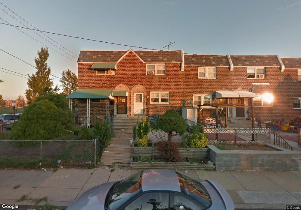
6453 Eastwood St Philadelphia, PA 19149
Castor Gardens NeighborhoodEstimated Value: $209,114 - $226,000
3
Beds
1
Bath
1,144
Sq Ft
$190/Sq Ft
Est. Value
About This Home
This home is located at 6453 Eastwood St, Philadelphia, PA 19149 and is currently estimated at $217,529, approximately $190 per square foot. 6453 Eastwood St is a home located in Philadelphia County with nearby schools including Gilbert Spruance School, Northeast High School, and Crystal River Academy.
Ownership History
Date
Name
Owned For
Owner Type
Purchase Details
Closed on
Sep 29, 2006
Sold by
Gottesman Alan and Gottesman Arleen
Bought by
Taka Abdel M
Current Estimated Value
Home Financials for this Owner
Home Financials are based on the most recent Mortgage that was taken out on this home.
Original Mortgage
$92,000
Interest Rate
6.33%
Mortgage Type
Unknown
Create a Home Valuation Report for This Property
The Home Valuation Report is an in-depth analysis detailing your home's value as well as a comparison with similar homes in the area
Home Values in the Area
Average Home Value in this Area
Purchase History
| Date | Buyer | Sale Price | Title Company |
|---|---|---|---|
| Taka Abdel M | $115,000 | Fidelity Natl Title Ins Co |
Source: Public Records
Mortgage History
| Date | Status | Borrower | Loan Amount |
|---|---|---|---|
| Previous Owner | Taka Abdel M | $92,000 |
Source: Public Records
Tax History Compared to Growth
Tax History
| Year | Tax Paid | Tax Assessment Tax Assessment Total Assessment is a certain percentage of the fair market value that is determined by local assessors to be the total taxable value of land and additions on the property. | Land | Improvement |
|---|---|---|---|---|
| 2026 | $2,352 | $197,300 | $39,460 | $157,840 |
| 2025 | $2,352 | $197,300 | $39,460 | $157,840 |
| 2024 | $2,352 | $197,300 | $39,460 | $157,840 |
| 2023 | $2,352 | $168,000 | $33,600 | $134,400 |
| 2022 | $1,131 | $123,000 | $33,600 | $89,400 |
| 2021 | $1,761 | $0 | $0 | $0 |
| 2020 | $1,761 | $0 | $0 | $0 |
| 2019 | $1,690 | $0 | $0 | $0 |
| 2018 | $1,554 | $0 | $0 | $0 |
| 2017 | $1,554 | $0 | $0 | $0 |
| 2016 | $1,134 | $0 | $0 | $0 |
| 2015 | $1,085 | $0 | $0 | $0 |
| 2014 | -- | $111,000 | $16,078 | $94,922 |
| 2012 | -- | $14,240 | $1,857 | $12,383 |
Source: Public Records
Map
Nearby Homes
- 1535 Hellerman St
- 1530 Hellerman St
- 6627 Oakland St
- 6621 Sylvester St
- 1500 Hellerman St
- 6306 Leonard St
- 6340 Calvert St
- 2001R Mckinley St
- 2003 Devereaux Ave
- 6725 Eastwood St
- 2019 Devereaux Ave
- 2112 Robbins Ave
- 2687 Levick St
- 2133 Mckinley St
- 6626 Lynford St
- 1531 Stevens St
- 1440 Robbins Ave
- 1427 Robbins Ave
- 1453 Mckinley St
- 1551 Lardner St
- 6451 Eastwood St
- 6455 Eastwood St
- 6449 Eastwood St
- 6447 Eastwood St
- 6445 Eastwood St
- 6450 Akron St
- 6452 Akron St
- 6454 Akron St
- 6443 Eastwood St
- 6448 Akron St
- 6446 Akron St
- 6441 Eastwood St
- 6444 Akron St
- 6439 Eastwood St
- 6442 Akron St
- 6440 Akron St
- 6437 Eastwood St
- 6436 Akron St
- 6438 Akron St
- 6435 Eastwood St