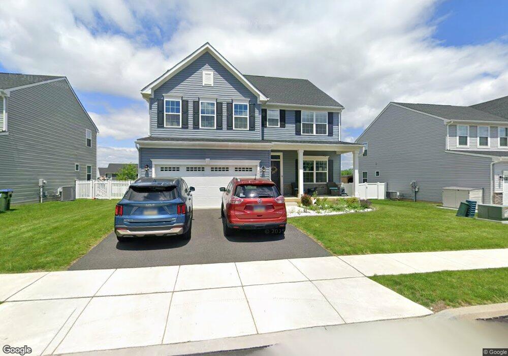
6453 Robin Rd Macungie, PA 18062
Lower Macungie Township West NeighborhoodEstimated Value: $695,000 - $766,000
4
Beds
3
Baths
4,362
Sq Ft
$165/Sq Ft
Est. Value
About This Home
This home is located at 6453 Robin Rd, Macungie, PA 18062 and is currently estimated at $721,023, approximately $165 per square foot. 6453 Robin Rd is a home located in Lehigh County with nearby schools including Macungie Elementary School, Eyer Middle School, and Emmaus High School.
Ownership History
Date
Name
Owned For
Owner Type
Purchase Details
Closed on
Nov 21, 2022
Sold by
Nvr Inc
Bought by
Steinhouse Juli Kay Digate and Steinhouse Joshua Ryan
Current Estimated Value
Home Financials for this Owner
Home Financials are based on the most recent Mortgage that was taken out on this home.
Original Mortgage
$625,500
Outstanding Balance
$606,560
Interest Rate
7.08%
Mortgage Type
New Conventional
Estimated Equity
$114,463
Purchase Details
Closed on
Jun 22, 2022
Sold by
Bt Stone Hill Lp
Bought by
Nvr Inc
Create a Home Valuation Report for This Property
The Home Valuation Report is an in-depth analysis detailing your home's value as well as a comparison with similar homes in the area
Home Values in the Area
Average Home Value in this Area
Purchase History
| Date | Buyer | Sale Price | Title Company |
|---|---|---|---|
| Steinhouse Juli Kay Digate | $715,725 | -- | |
| Nvr Inc | $666,400 | Nvr Settlement Services |
Source: Public Records
Mortgage History
| Date | Status | Borrower | Loan Amount |
|---|---|---|---|
| Open | Steinhouse Juli Kay Digate | $625,500 |
Source: Public Records
Tax History Compared to Growth
Tax History
| Year | Tax Paid | Tax Assessment Tax Assessment Total Assessment is a certain percentage of the fair market value that is determined by local assessors to be the total taxable value of land and additions on the property. | Land | Improvement |
|---|---|---|---|---|
| 2025 | $9,301 | $364,300 | $27,600 | $336,700 |
| 2024 | $8,998 | $364,300 | $27,600 | $336,700 |
| 2023 | $8,818 | $364,300 | $27,600 | $336,700 |
| 2022 | $652 | $27,600 | $0 | $27,600 |
| 2021 | $638 | $27,600 | $27,600 | $0 |
| 2020 | $632 | $27,600 | $27,600 | $0 |
Source: Public Records
Map
Nearby Homes
- 6405 Robin Rd
- 3610 Sweet Meadow Ct
- 167 Aspen Ln
- 38 Cedar St
- 6832 Scenic View Dr
- 6903 Lincoln Dr
- 0 Clauss Hunt Knight Dr Unit 10 Units 763578
- Lot 1 Mountain Rd
- 0 Mountain Lot 1
- 7077 Hunt Dr
- 6709 Mountain Rd
- 3814 Clay Dr
- 275 Ridings Cir
- 160 160 Lindfield Cir
- 160 Lindfield Cir
- 255 Ridings Cir
- 2840 Donegal Dr
- 2927 Lifford Ln
- 6635 Blue Heather Ct
- 98 Maple St
- 6453 Robin Rd
- 6437 Robin Rd
- 6421 Robin Rd
- 6452 Robin Rd
- 6438 Robin Rd
- 6466 Robin Rd
- 6424 Robin Rd
- 3635 Sweet Meadow Ct
- 3645 Sweet Meadow Ct
- 6480 Robin Rd
- 3665 Sweet Meadow Ct
- 3685 Sweet Meadow Ct
- 3675 Sweet Meadow Ct
- 6410 Robin Rd
- 3655 Sweet Meadow Ct
- 3625 Sweet Meadow Ct
- 3695 Sweet Meadow Ct
- 212 Robin Rd
- 3705 Sweet Meadow Ct
- 3615 Sweet Meadow Ct