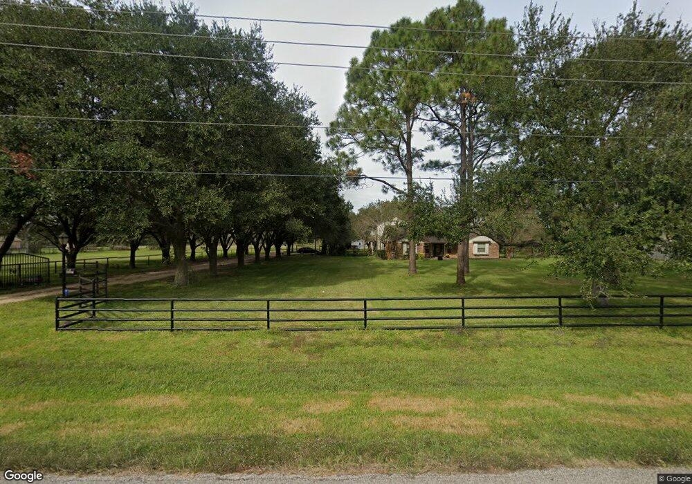
6453 Scott Rd Pearland, TX 77581
Estimated Value: $327,000 - $488,000
--
Bed
2
Baths
1,548
Sq Ft
$254/Sq Ft
Est. Value
About This Home
This home is located at 6453 Scott Rd, Pearland, TX 77581 and is currently estimated at $393,381, approximately $254 per square foot. 6453 Scott Rd is a home located in Brazoria County with nearby schools including E A Lawhon Elementary School, Leon H. Sablatura Middle School, and Pearland Junior High School West.
Ownership History
Date
Name
Owned For
Owner Type
Purchase Details
Closed on
Apr 21, 2008
Sold by
Maxwell Suzie
Bought by
Hartman Ii John and Mason Christina M
Current Estimated Value
Home Financials for this Owner
Home Financials are based on the most recent Mortgage that was taken out on this home.
Original Mortgage
$169,659
Outstanding Balance
$108,254
Interest Rate
6.11%
Mortgage Type
Purchase Money Mortgage
Estimated Equity
$285,127
Purchase Details
Closed on
May 27, 2004
Sold by
Vasquez Norma
Bought by
Maxwell Suzie
Home Financials for this Owner
Home Financials are based on the most recent Mortgage that was taken out on this home.
Original Mortgage
$96,000
Interest Rate
5.93%
Mortgage Type
Purchase Money Mortgage
Create a Home Valuation Report for This Property
The Home Valuation Report is an in-depth analysis detailing your home's value as well as a comparison with similar homes in the area
Home Values in the Area
Average Home Value in this Area
Purchase History
| Date | Buyer | Sale Price | Title Company |
|---|---|---|---|
| Hartman Ii John | -- | Chicago Title | |
| Maxwell Suzie | -- | Alamo Title Company |
Source: Public Records
Mortgage History
| Date | Status | Borrower | Loan Amount |
|---|---|---|---|
| Open | Hartman Ii John | $169,659 | |
| Previous Owner | Maxwell Suzie | $96,000 | |
| Closed | Maxwell Suzie | $24,000 |
Source: Public Records
Tax History Compared to Growth
Tax History
| Year | Tax Paid | Tax Assessment Tax Assessment Total Assessment is a certain percentage of the fair market value that is determined by local assessors to be the total taxable value of land and additions on the property. | Land | Improvement |
|---|---|---|---|---|
| 2025 | $3,823 | $261,302 | $87,820 | $225,130 |
| 2023 | $3,823 | $215,952 | $104,550 | $234,220 |
| 2022 | $4,723 | $196,320 | $52,270 | $144,050 |
| 2021 | $4,870 | $192,610 | $52,270 | $140,340 |
| 2020 | $4,636 | $185,050 | $50,180 | $134,870 |
| 2019 | $4,216 | $177,820 | $46,000 | $131,820 |
| 2018 | $3,816 | $142,010 | $41,820 | $100,190 |
| 2017 | $4,485 | $181,360 | $41,820 | $139,540 |
| 2016 | $4,078 | $171,410 | $41,820 | $129,590 |
| 2014 | $3,449 | $139,510 | $41,820 | $97,690 |
Source: Public Records
Map
Nearby Homes
- 12914 Manor Dr
- 0 Rice Rd
- 1503 Pastureview Dr
- 0 Lesiker Rd
- 5972 Pearland Place
- 12615 Britt Rd
- 1454 Oday Rd
- 6088 Pearland Place
- 12629 March St
- 12710 Midlane Dr
- 1910 Vineyard Bend Ct
- 4901 Shank Rd
- 6009 Village Grove Dr
- 1549 Garden Rd Unit 109
- 6209 Butler Rd
- 1849 Garden Rd
- 0 Hatfield Rd Unit 37845028
- 2107 N Main St
- 3759 Knapp Rd
- 4610 & 4612 W Orange St