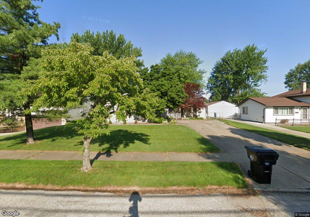
6456 Scott Dr Brookpark, OH 44142
Estimated Value: $226,891 - $275,000
3
Beds
2
Baths
1,431
Sq Ft
$170/Sq Ft
Est. Value
About This Home
This home is located at 6456 Scott Dr, Brookpark, OH 44142 and is currently estimated at $243,473, approximately $170 per square foot. 6456 Scott Dr is a home located in Cuyahoga County with nearby schools including Berea-Midpark Middle School, Berea-Midpark High School, and The Academy of St. Bartholomew.
Ownership History
Date
Name
Owned For
Owner Type
Purchase Details
Closed on
Nov 8, 2012
Sold by
Gardina John J and Gardina David J
Bought by
Sparano James A
Current Estimated Value
Purchase Details
Closed on
Jun 8, 2012
Sold by
Gardina Sandra F
Bought by
Gardina John J and Gardina David J
Purchase Details
Closed on
Dec 1, 1989
Sold by
Thai Chieu
Bought by
Gardina Jerry J
Purchase Details
Closed on
Nov 24, 1980
Sold by
Wokaty Dennis H
Bought by
Thai Chieu
Purchase Details
Closed on
Mar 19, 1980
Sold by
Wokaty Dennis H and Wokaty Darlene M
Bought by
Wokaty Dennis H
Purchase Details
Closed on
Mar 30, 1979
Bought by
Wokaty Dennis H and Wokaty Darlene M
Purchase Details
Closed on
Feb 1, 1977
Sold by
Alvin A Siege
Bought by
Bar-De Construction Company
Purchase Details
Closed on
Jan 1, 1975
Bought by
Alvin A Siege
Create a Home Valuation Report for This Property
The Home Valuation Report is an in-depth analysis detailing your home's value as well as a comparison with similar homes in the area
Home Values in the Area
Average Home Value in this Area
Purchase History
| Date | Buyer | Sale Price | Title Company |
|---|---|---|---|
| Sparano James A | $105,000 | City Title Agency | |
| Gardina John J | -- | Attorney | |
| Gardina Jerry J | $88,000 | -- | |
| Thai Chieu | $68,000 | -- | |
| Wokaty Dennis H | -- | -- | |
| Wokaty Dennis H | $64,900 | -- | |
| Bar-De Construction Company | $6,700 | -- | |
| Alvin A Siege | -- | -- |
Source: Public Records
Tax History
| Year | Tax Paid | Tax Assessment Tax Assessment Total Assessment is a certain percentage of the fair market value that is determined by local assessors to be the total taxable value of land and additions on the property. | Land | Improvement |
|---|---|---|---|---|
| 2024 | $3,490 | $69,195 | $11,480 | $57,715 |
| 2023 | $3,398 | $55,790 | $9,870 | $45,920 |
| 2022 | $3,374 | $55,790 | $9,870 | $45,920 |
| 2021 | $3,355 | $55,790 | $9,870 | $45,920 |
| 2020 | $3,025 | $44,280 | $7,840 | $36,440 |
| 2019 | $2,935 | $126,500 | $22,400 | $104,100 |
| 2018 | $2,729 | $44,280 | $7,840 | $36,440 |
| 2017 | $2,746 | $38,430 | $6,790 | $31,640 |
| 2016 | $2,723 | $38,430 | $6,790 | $31,640 |
| 2015 | $2,691 | $38,430 | $6,790 | $31,640 |
| 2014 | $2,691 | $40,460 | $7,140 | $33,320 |
Source: Public Records
Map
Nearby Homes
- 6490 Grosse Dr
- 6213 Siegler Dr
- 6210 Siegler Dr
- 6728 Benedict Dr
- 6748 Benedict Dr
- 6752 Benedict Dr
- 6744 Benedict Dr
- 6720 Benedict Dr
- 6040 Slater Dr
- 6724 Benedict Dr
- 6744 Fry Rd Unit 4
- 16761 Orchard Grove Dr Unit 6808A
- 6689 Fry Rd
- 6377 Ledgebrook Dr
- 16001 Sylvia Dr
- 16445 Heather Ln Unit 203
- 16475 Heather Ln Unit S202
- 20415 Brookstone Trail
- 16117 Hocking Blvd
- 16415 Heather Ln Unit F103
Your Personal Tour Guide
Ask me questions while you tour the home.