6456 W Mead Rd Saint Johns, MI 48879
Estimated Value: $263,000 - $397,000
5
Beds
1
Bath
2,328
Sq Ft
$143/Sq Ft
Est. Value
About This Home
This home is located at 6456 W Mead Rd, Saint Johns, MI 48879 and is currently estimated at $332,529, approximately $142 per square foot. 6456 W Mead Rd is a home located in Clinton County with nearby schools including Fulton Elementary School, Fulton Middle School, and Fulton High School.
Ownership History
Date
Name
Owned For
Owner Type
Purchase Details
Closed on
Jun 23, 2020
Sold by
Feldpausch Evangeline D and Feldpausch Curtis C
Bought by
Feldpausch Evangeline D and Feldpausch Evangeline D
Current Estimated Value
Purchase Details
Closed on
Aug 11, 2017
Sold by
Andrews Wayne Buck
Bought by
Feldpausch Curtis C and Feldpausch Evangeline D
Purchase Details
Closed on
Aug 3, 2017
Sold by
Andrews Wayne B and Andrews Adam R
Bought by
Andrews Wayne
Purchase Details
Closed on
Aug 12, 2015
Sold by
Andrews Robert Lee
Bought by
Andrews Robert Lee
Create a Home Valuation Report for This Property
The Home Valuation Report is an in-depth analysis detailing your home's value as well as a comparison with similar homes in the area
Home Values in the Area
Average Home Value in this Area
Purchase History
| Date | Buyer | Sale Price | Title Company |
|---|---|---|---|
| Feldpausch Evangeline D | -- | None Available | |
| Feldpausch Curtis C | $120,000 | Alma Abstract & Title | |
| Andrews Wayne | -- | None Available | |
| Andrews Robert Lee | -- | Attorney |
Source: Public Records
Tax History Compared to Growth
Tax History
| Year | Tax Paid | Tax Assessment Tax Assessment Total Assessment is a certain percentage of the fair market value that is determined by local assessors to be the total taxable value of land and additions on the property. | Land | Improvement |
|---|---|---|---|---|
| 2025 | $1,934 | $136,100 | $18,600 | $117,500 |
| 2024 | $915 | $128,000 | $15,300 | $112,700 |
| 2023 | $867 | $115,000 | $0 | $0 |
| 2022 | $1,797 | $107,600 | $14,000 | $93,600 |
| 2021 | $1,771 | $98,500 | $13,100 | $85,400 |
| 2020 | $1,529 | $86,700 | $12,100 | $74,600 |
| 2019 | $1,438 | $74,100 | $11,600 | $62,500 |
| 2018 | $1,403 | $63,800 | $11,600 | $52,200 |
| 2017 | -- | $61,100 | $11,600 | $49,500 |
| 2016 | $666 | $51,600 | $10,100 | $41,500 |
| 2015 | -- | $37,500 | $0 | $0 |
| 2011 | -- | $58,600 | $0 | $0 |
Source: Public Records
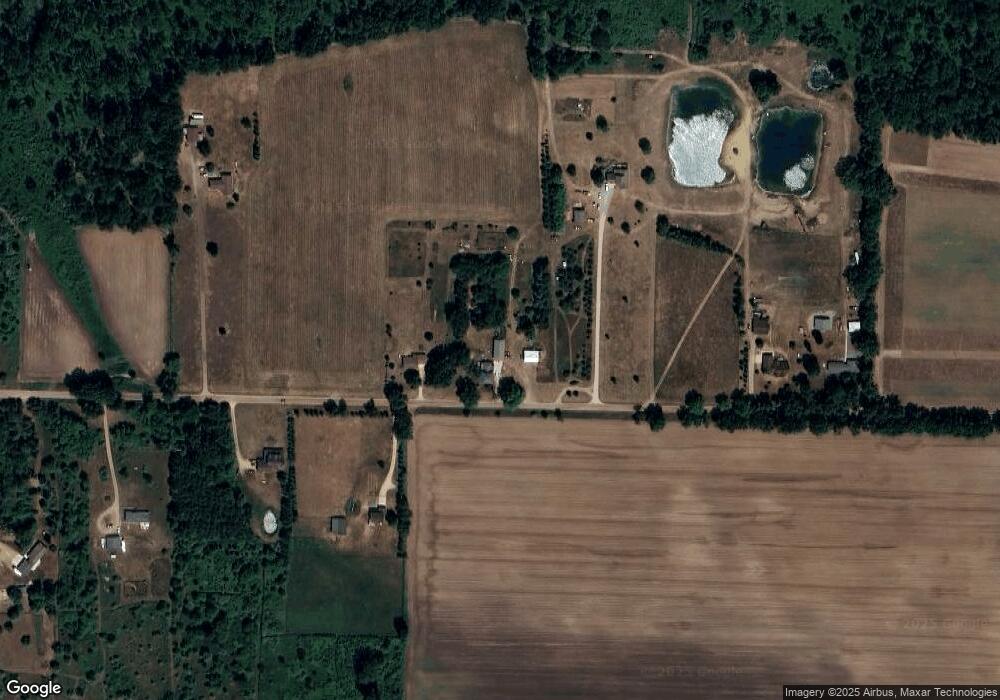
Map
Nearby Homes
- 5233 Paxton Rd
- 7757 N Forest Hill Rd
- 8095 Mcintosh Rd
- 8150 Idared Rd
- 7240 Empire Rd
- 0 V/L W Colony Rd
- 0 W Colony Unit 286993
- TBD E Main St
- 126 E Washington St
- 129 E Main St
- 209 W Adelaide St
- V/L Mill St
- 9515 W Moss Rd
- 7717 N Wacousta Rd
- 8843 N Dewitt Rd
- 4813 Lakeside Dr
- 5100 Rainbow Lake Rd
- 102 Lakeside Dr
- 17 Skyline Dr
- 005 Skyline Dr
- 6496 W Mead Rd
- 6400 W Mead Rd
- 6565 W Mead Rd
- 6581 W Mead Rd
- 6300 W Mead Rd
- 6624 W Mead Rd
- 6266 W Mead Rd
- 6689 W Mead Rd
- 6701 W Mead Rd
- 6760 W Mead Rd
- 6040 W Mead Rd
- 6886 W Mead Rd
- 5885 N Lowell Rd
- 6500 W Lowe Rd
- 6570 W Lowe Rd
- 6640 W Lowe Rd
- 5920 N Lowell Rd
- 6018 Essex Center Rd
- 5904 Essex Center Rd
- 6084 Essex Center Rd