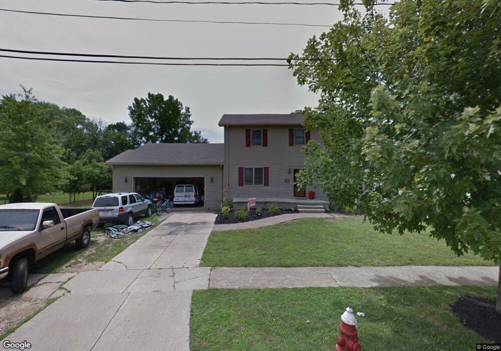
6458 Leslie Dr Brookpark, OH 44142
Estimated Value: $215,000 - $310,000
3
Beds
3
Baths
2,344
Sq Ft
$110/Sq Ft
Est. Value
About This Home
This home is located at 6458 Leslie Dr, Brookpark, OH 44142 and is currently estimated at $256,938, approximately $109 per square foot. 6458 Leslie Dr is a home located in Cuyahoga County with nearby schools including Berea-Midpark Middle School, Berea-Midpark High School, and St Mary School.
Ownership History
Date
Name
Owned For
Owner Type
Purchase Details
Closed on
Nov 15, 2002
Sold by
Roche Grace L
Bought by
Carroll James W and Carroll Nena M
Current Estimated Value
Home Financials for this Owner
Home Financials are based on the most recent Mortgage that was taken out on this home.
Original Mortgage
$102,400
Interest Rate
5.59%
Purchase Details
Closed on
Aug 1, 2000
Sold by
Kenneth Roche and Kenneth G L
Bought by
Roche Kenneth E and Roche Grace L
Create a Home Valuation Report for This Property
The Home Valuation Report is an in-depth analysis detailing your home's value as well as a comparison with similar homes in the area
Home Values in the Area
Average Home Value in this Area
Purchase History
| Date | Buyer | Sale Price | Title Company |
|---|---|---|---|
| Carroll James W | $128,000 | Progressive Land Title | |
| Roche Grace L | -- | Progressive Land Title | |
| Roche Kenneth E | -- | -- |
Source: Public Records
Mortgage History
| Date | Status | Borrower | Loan Amount |
|---|---|---|---|
| Previous Owner | Carroll James W | $102,400 |
Source: Public Records
Tax History
| Year | Tax Paid | Tax Assessment Tax Assessment Total Assessment is a certain percentage of the fair market value that is determined by local assessors to be the total taxable value of land and additions on the property. | Land | Improvement |
|---|---|---|---|---|
| 2025 | $3,908 | $77,945 | $17,430 | $60,515 |
| 2024 | $3,931 | $77,945 | $17,430 | $60,515 |
| 2023 | $3,482 | $57,160 | $15,050 | $42,110 |
| 2022 | $3,457 | $57,160 | $15,050 | $42,110 |
| 2021 | $3,437 | $57,160 | $15,050 | $42,110 |
| 2020 | $3,099 | $45,360 | $11,940 | $33,430 |
| 2019 | $3,007 | $129,600 | $34,100 | $95,500 |
| 2018 | $2,994 | $45,360 | $11,940 | $33,430 |
| 2017 | $2,609 | $36,510 | $10,330 | $26,180 |
| 2016 | $2,587 | $36,510 | $10,330 | $26,180 |
| 2015 | $2,556 | $36,510 | $10,330 | $26,180 |
| 2014 | $2,556 | $38,430 | $10,850 | $27,580 |
Source: Public Records
Map
Nearby Homes
- 6490 Grosse Dr
- 6213 Siegler Dr
- 6755 Benedict Dr
- 6728 Benedict Dr
- 6748 Benedict Dr
- 6752 Benedict Dr
- 6744 Benedict Dr
- 6720 Benedict Dr
- 6724 Benedict Dr
- 6016 Gilmere Dr
- 584 Eastland Rd
- 6448 Delores Blvd
- 6689 Fry Rd
- 6188 Barbara Ln
- 16460 Heather Ln
- 16495 Heather Ln Unit F103
- 56 3rd Ave
- 16475 Heather Ln Unit S202
- 16445 Heather Ln Unit 203
- 6574 Burton Dr
- 18863 Leslie Dr
- 18843 Leslie Dr
- 6454 Leslie Dr
- 6450 Leslie Dr
- 6451 Sylvia Dr
- 19132 Sheldon Rd
- 6457 Leslie Dr
- 6446 Leslie Dr
- 6451 Leslie Dr
- 6445 Sylvia Dr
- 6445 Leslie Dr
- 6442 Leslie Dr
- 6439 Sylvia Dr
- 6438 Sylvia Dr
- 18756 Sheldon Rd
- 6439 Leslie Dr
- 6433 Sylvia Dr
- 6440 Leslie Dr
- 6432 Sylvia Dr
- 18726 Sheldon Rd
Your Personal Tour Guide
Ask me questions while you tour the home.