64590 46th St Paw Paw, MI 49079
Estimated Value: $224,000 - $288,000
4
Beds
1
Bath
1,800
Sq Ft
$141/Sq Ft
Est. Value
About This Home
This home is located at 64590 46th St, Paw Paw, MI 49079 and is currently estimated at $253,532, approximately $140 per square foot. 64590 46th St is a home located in Van Buren County with nearby schools including Lawrence Elementary School and Lawrence Junior/Senior High School.
Ownership History
Date
Name
Owned For
Owner Type
Purchase Details
Closed on
Aug 20, 2020
Sold by
Ritsema Mildred M and Ritsema Benjamin
Bought by
Jordan Howard and Stewart Pamela
Current Estimated Value
Purchase Details
Closed on
Nov 13, 2006
Sold by
Clark Christal L
Bought by
Ritsema Benjamin and Ritsema Mildred M
Purchase Details
Closed on
Feb 28, 2002
Sold by
Clark Christal L
Bought by
Clark Christal L
Purchase Details
Closed on
May 15, 2000
Sold by
Shine Barbara M
Bought by
Clark Christal L
Create a Home Valuation Report for This Property
The Home Valuation Report is an in-depth analysis detailing your home's value as well as a comparison with similar homes in the area
Home Values in the Area
Average Home Value in this Area
Purchase History
| Date | Buyer | Sale Price | Title Company |
|---|---|---|---|
| Jordan Howard | $42,000 | None Available | |
| Ritsema Benjamin | $32,000 | Chicago Title | |
| Clark Christal L | -- | -- | |
| Clark Christal L | $95,000 | -- |
Source: Public Records
Tax History Compared to Growth
Tax History
| Year | Tax Paid | Tax Assessment Tax Assessment Total Assessment is a certain percentage of the fair market value that is determined by local assessors to be the total taxable value of land and additions on the property. | Land | Improvement |
|---|---|---|---|---|
| 2025 | $1,407 | $90,200 | $0 | $0 |
| 2024 | $417 | $82,300 | $0 | $0 |
| 2023 | $397 | $73,200 | $0 | $0 |
| 2022 | $1,229 | $65,000 | $0 | $0 |
| 2021 | $1,172 | $49,700 | $9,400 | $40,300 |
| 2020 | $1,104 | $49,700 | $9,400 | $40,300 |
| 2019 | $1,084 | $48,200 | $48,200 | $0 |
| 2018 | $1,072 | $48,200 | $48,200 | $0 |
| 2017 | $1,052 | $31,900 | $0 | $0 |
| 2016 | $1,045 | $36,600 | $0 | $0 |
| 2015 | $988 | $36,600 | $0 | $0 |
| 2014 | $977 | $32,700 | $0 | $0 |
| 2013 | -- | $33,300 | $33,300 | $0 |
Source: Public Records
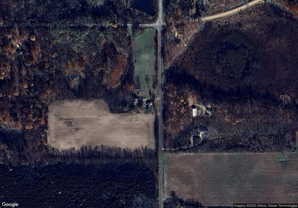
Map
Nearby Homes
- 43618 Carla Dr
- 0 Palmer Dr
- 60846 N Lakeshore Dr
- Parcel A Territorial Rd
- 0 70th Ave
- 44850 Woodman Dr
- 66598 Territorial Rd
- 58797 Territorial Rd
- 58356 Cr 671
- 41758 N Park St
- 69217 51st St
- 44702 B 56th Ave
- 59388 41st St
- 62619 N County Road 365
- 58008 N County Road 365
- 0 Crandall Pkwy Unit 16 24019285
- 0 Crandall Pkwy Unit 6 24019278
- 0 Crandall Pkwy Unit 22 24019310
- 0 Crandall Pkwy Unit 7 24019281
- 0 Crandall Pkwy Unit 8 24019283
- 67320 46th St
- 45759 Paw Paw Rd
- 45759 Paw Rd Rd
- 65121 46th St
- 45375 Paw Paw Rd
- 64471 46th St
- 45178 Paw Paw Rd
- D Paw Rd
- 45161 Paw Paw Rd
- 45161 Paw Paw Rd
- 45080 Paw Paw Rd
- 45014 Paw Paw Rd
- 45014 Paw Paw Rd
- 45055 Paw Rd
- 45055 Paw Paw Rd
- 45717 64th Ave
- 67370 Eagle Dr
- 46551 64th Ave
- 68280 46th St
- 47117 64th Ave