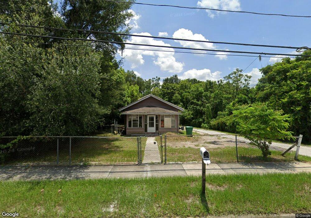
646 E New York Ave Deland, FL 32724
Estimated Value: $120,000 - $226,000
3
Beds
1
Bath
1,282
Sq Ft
$129/Sq Ft
Est. Value
About This Home
This home is located at 646 E New York Ave, Deland, FL 32724 and is currently estimated at $165,505, approximately $129 per square foot. 646 E New York Ave is a home located in Volusia County with nearby schools including Blue Lake Elementary School, Deland High School, and Deland Middle School.
Ownership History
Date
Name
Owned For
Owner Type
Purchase Details
Closed on
Jan 4, 2021
Sold by
Jae Enterprises Llc
Bought by
Suckell Marc
Current Estimated Value
Purchase Details
Closed on
Aug 20, 2013
Sold by
Vachula Barbara M
Bought by
Jae Enterprises Llc
Purchase Details
Closed on
May 19, 2011
Sold by
Mcrennells Barbara A and Mcrunnells Barbara A
Bought by
Vachula Barbara M
Purchase Details
Closed on
Jun 13, 2006
Sold by
Ramonetti William R
Bought by
Mcrennells Barbara A
Create a Home Valuation Report for This Property
The Home Valuation Report is an in-depth analysis detailing your home's value as well as a comparison with similar homes in the area
Home Values in the Area
Average Home Value in this Area
Purchase History
| Date | Buyer | Sale Price | Title Company |
|---|---|---|---|
| Suckell Marc | -- | Accommodation | |
| Jae Enterprises Llc | $32,500 | Westside Title Services Inc | |
| Vachula Barbara M | -- | None Available | |
| Mcrennells Barbara A | -- | Attorney |
Source: Public Records
Tax History Compared to Growth
Tax History
| Year | Tax Paid | Tax Assessment Tax Assessment Total Assessment is a certain percentage of the fair market value that is determined by local assessors to be the total taxable value of land and additions on the property. | Land | Improvement |
|---|---|---|---|---|
| 2025 | $916 | $49,020 | $22,584 | $26,436 |
| 2024 | $916 | $50,338 | $22,584 | $27,754 |
| 2023 | $916 | $48,851 | $22,174 | $26,677 |
| 2022 | $863 | $45,218 | $21,763 | $23,455 |
| 2021 | $833 | $40,541 | $20,942 | $19,599 |
| 2020 | $845 | $40,999 | $20,942 | $20,057 |
| 2019 | $834 | $38,628 | $19,299 | $19,329 |
| 2018 | $830 | $36,850 | $18,478 | $18,372 |
| 2017 | $792 | $33,963 | $18,478 | $15,485 |
| 2016 | $743 | $32,327 | $0 | $0 |
| 2015 | $725 | $30,552 | $0 | $0 |
| 2014 | $705 | $29,039 | $0 | $0 |
Source: Public Records
Map
Nearby Homes
- 139 N Boston Ave
- 502 E Howry Ave
- 137 S Chandler Ave
- 524 E Church St
- 135 S Arlington Ave
- 230 S Chandler Ave
- 330 E Wisconsin Ave
- 1301 E Wisconsin Ave
- 141 N McDonald Ave
- 0 E Wisconsin Ave Unit MFRO6190518
- 322 N Frankfort Ave
- 449 E Church St
- 455 E Church St
- 443, 449 & 455 E Church St
- 708 E Walts Ave
- 701 Boston Ct
- 345 E Church St
- 109 S Colorado Ave
- 406 N Kentucky Ave
- 419 N Frankfort Ave
- 638 E New York Ave
- 118 S Boston Ave
- 115 S Frankfort Ave
- 120 S Boston Ave
- 702 E New York Ave
- 0 E Georgia Ave
- 127 S Frankfort Ave
- 620 E New York Ave
- 625 E New York Ave
- 701 E New York Ave
- 130 S Boston Ave
- 131 S Frankfort Ave
- 700 E Georgia Ave
- 619 E New York Ave
- 630 E Indiana Ave
- 610 E New York Ave
- 626 E Indiana Ave
- 622 E Indiana Ave
- 135 S Frankfort Ave
- 712 E Georgia Ave