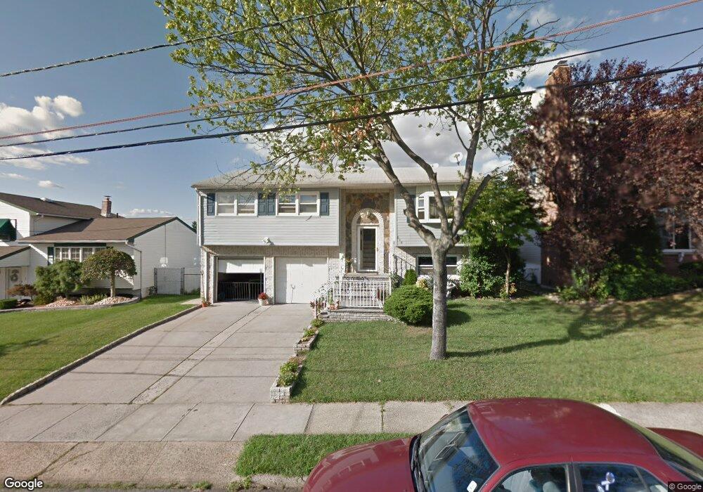
646 Hornsby Ave Perth Amboy, NJ 08861
Spa Springs NeighborhoodEstimated Value: $566,869 - $588,000
--
Bed
--
Bath
1,788
Sq Ft
$322/Sq Ft
Est. Value
About This Home
This home is located at 646 Hornsby Ave, Perth Amboy, NJ 08861 and is currently estimated at $574,967, approximately $321 per square foot. 646 Hornsby Ave is a home located in Middlesex County with nearby schools including Perth Amboy High School, Academy for Urban Leadership Charter School, and St James School-Woodbridge.
Ownership History
Date
Name
Owned For
Owner Type
Purchase Details
Closed on
May 8, 2025
Sold by
Fazzolari Melina
Bought by
Fazzolari Al M
Current Estimated Value
Create a Home Valuation Report for This Property
The Home Valuation Report is an in-depth analysis detailing your home's value as well as a comparison with similar homes in the area
Home Values in the Area
Average Home Value in this Area
Purchase History
| Date | Buyer | Sale Price | Title Company |
|---|---|---|---|
| Fazzolari Al M | -- | None Listed On Document | |
| Fazzolari Al M | -- | None Listed On Document |
Source: Public Records
Tax History Compared to Growth
Tax History
| Year | Tax Paid | Tax Assessment Tax Assessment Total Assessment is a certain percentage of the fair market value that is determined by local assessors to be the total taxable value of land and additions on the property. | Land | Improvement |
|---|---|---|---|---|
| 2025 | $8,415 | $287,200 | $138,800 | $148,400 |
| 2024 | $8,398 | $287,200 | $138,800 | $148,400 |
| 2023 | $8,398 | $287,200 | $138,800 | $148,400 |
| 2022 | $8,294 | $287,200 | $138,800 | $148,400 |
| 2021 | $7,751 | $287,200 | $138,800 | $148,400 |
| 2020 | $8,303 | $287,200 | $138,800 | $148,400 |
| 2019 | $8,584 | $287,200 | $138,800 | $148,400 |
| 2018 | $8,260 | $287,200 | $138,800 | $148,400 |
| 2017 | $8,243 | $287,200 | $138,800 | $148,400 |
| 2016 | $8,271 | $287,200 | $138,800 | $148,400 |
| 2015 | $8,079 | $287,200 | $138,800 | $148,400 |
| 2014 | $8,131 | $287,200 | $138,800 | $148,400 |
Source: Public Records
Map
Nearby Homes
- 644 Hornsby Ave
- 650 Hornsby Ave
- 647 Adams Ave
- 642 Hornsby Ave
- 643 Adams Ave
- 1074 Rudyard Dr
- 1066 Rudyard Dr
- 647 Hornsby Ave
- 639 Adams Ave
- 643 Hornsby Ave
- 651 Hornsby Ave
- 651 Adams Ave
- 636 Hornsby Ave
- 639 Hornsby Ave
- 1054 Rudyard Dr
- 628 Hornsby Ave
- 635 Adams Ave
- 635 Hornsby Ave
- 646 Clark Ave
- 650 Clark Ave