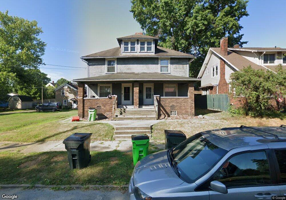
646 N Freedom Ave Alliance, OH 44601
Estimated Value: $85,480 - $132,000
6
Beds
2
Baths
2,736
Sq Ft
$40/Sq Ft
Est. Value
About This Home
This home is located at 646 N Freedom Ave, Alliance, OH 44601 and is currently estimated at $108,620, approximately $39 per square foot. 646 N Freedom Ave is a home located in Stark County with nearby schools including Alliance Early Learning School, Alliance Intermediate School at Northside, and Alliance Middle School.
Ownership History
Date
Name
Owned For
Owner Type
Purchase Details
Closed on
May 2, 2001
Sold by
Bret Stuchell C
Bought by
Harris Trust & Svgs Bank and Cityscape Home Equity Loan Trust 1996-3
Current Estimated Value
Home Financials for this Owner
Home Financials are based on the most recent Mortgage that was taken out on this home.
Original Mortgage
$42,200
Interest Rate
6.97%
Mortgage Type
Purchase Money Mortgage
Purchase Details
Closed on
Mar 16, 2001
Sold by
Harris Trust & Svgs Bank
Bought by
Mullet Lana
Home Financials for this Owner
Home Financials are based on the most recent Mortgage that was taken out on this home.
Original Mortgage
$42,200
Interest Rate
6.97%
Mortgage Type
Purchase Money Mortgage
Purchase Details
Closed on
Jan 25, 2001
Sold by
Bret Stuchell C and Bret Jane
Bought by
Harris Trust & Svgs Bank and Cityscape Home Equity Loan Trust 1996-3
Home Financials for this Owner
Home Financials are based on the most recent Mortgage that was taken out on this home.
Original Mortgage
$42,200
Interest Rate
6.97%
Mortgage Type
Purchase Money Mortgage
Purchase Details
Closed on
Jul 20, 1993
Create a Home Valuation Report for This Property
The Home Valuation Report is an in-depth analysis detailing your home's value as well as a comparison with similar homes in the area
Home Values in the Area
Average Home Value in this Area
Purchase History
| Date | Buyer | Sale Price | Title Company |
|---|---|---|---|
| Harris Trust & Svgs Bank | $19,000 | -- | |
| Mullet Lana | $46,900 | -- | |
| Harris Trust & Svgs Bank | $19,000 | -- | |
| -- | $20,000 | -- |
Source: Public Records
Mortgage History
| Date | Status | Borrower | Loan Amount |
|---|---|---|---|
| Previous Owner | Mullet Lana | $42,200 |
Source: Public Records
Tax History Compared to Growth
Tax History
| Year | Tax Paid | Tax Assessment Tax Assessment Total Assessment is a certain percentage of the fair market value that is determined by local assessors to be the total taxable value of land and additions on the property. | Land | Improvement |
|---|---|---|---|---|
| 2025 | -- | $25,800 | $6,790 | $19,010 |
| 2024 | -- | $25,800 | $6,790 | $19,010 |
| 2023 | $702 | $17,050 | $3,400 | $13,650 |
| 2022 | $706 | $17,050 | $3,400 | $13,650 |
| 2021 | $708 | $17,050 | $3,400 | $13,650 |
| 2020 | $539 | $12,110 | $2,450 | $9,660 |
| 2019 | $531 | $12,110 | $2,450 | $9,660 |
| 2018 | $534 | $12,110 | $2,450 | $9,660 |
| 2017 | $484 | $10,790 | $2,070 | $8,720 |
| 2016 | $488 | $10,790 | $2,070 | $8,720 |
| 2015 | $493 | $10,790 | $2,070 | $8,720 |
| 2014 | $282 | $5,890 | $2,210 | $3,680 |
| 2013 | $141 | $5,890 | $2,210 | $3,680 |
Source: Public Records
Map
Nearby Homes
- 710 N Freedom Ave
- 124 E Wayne St
- 361 E Main St
- 652 N Webb Ave
- 163 W Market St
- 356 E Broadway St
- 142 S Seneca Ave
- 132 S Haines Ave
- 263 Franklin Ave
- 329 1/2 W Main St
- 511 W Ely St
- V/L S Fredeom Ave
- 427 S Union Ave
- 432 S Linden Ave
- 11344 Walnut Ave NE
- 345 W Market St
- 11310 Webb Ave NE
- 1214 Jersey St
- 452 E Summit St
- 140 W Summit St
- 646 N Freedom Ave Unit 646 N. Freedom
- 648 N Freedom Ave Unit 648
- 634 N Freedom Ave
- 658 N Freedom Ave
- 626 N Freedom Ave
- 537 1st St
- 620 N Freedom Ave
- 614 N Freedom Ave
- 523 Walnut Ave
- 541 Hester Ave
- 531 Hester Ave
- 549 Hester Ave
- 704 N Freedom Ave
- 553 Hester Ave
- 535 Walnut Ave
- 517 Hester Ave
- 705 N Freedom Ave
- 508 1st St
- 513 Hester Ave
- 520 2nd St