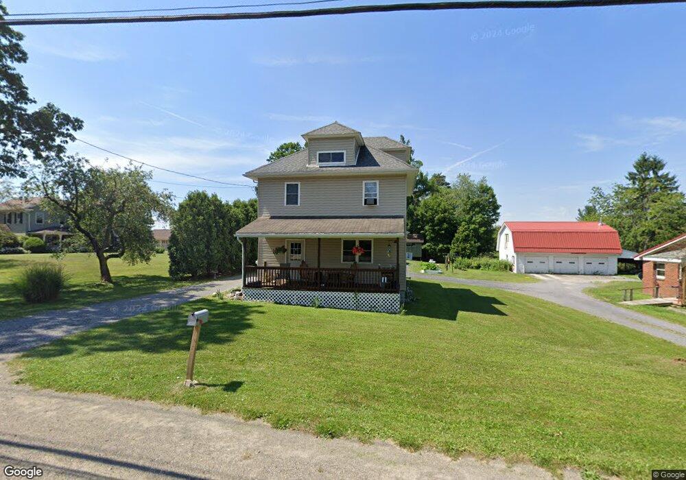
646 S Michael St Saint Marys, PA 15857
Estimated Value: $67,000 - $165,000
3
Beds
1
Bath
--
Sq Ft
9,278
Sq Ft Lot
About This Home
This home is located at 646 S Michael St, Saint Marys, PA 15857 and is currently estimated at $127,628. 646 S Michael St is a home located in Elk County with nearby schools including St. Marys Area Senior High School, St. Marys Catholic Elementary School, and Elk County Catholic School System.
Ownership History
Date
Name
Owned For
Owner Type
Purchase Details
Closed on
Aug 29, 2022
Sold by
Bucher Jeremiah E
Bought by
Carberry Derek and Runyan Kalie
Current Estimated Value
Home Financials for this Owner
Home Financials are based on the most recent Mortgage that was taken out on this home.
Original Mortgage
$137,275
Outstanding Balance
$131,119
Interest Rate
5.22%
Estimated Equity
-$3,491
Purchase Details
Closed on
Aug 11, 2010
Sold by
Stennett Charles and Wilcox Charles
Bought by
Bucher Jeremiah E
Create a Home Valuation Report for This Property
The Home Valuation Report is an in-depth analysis detailing your home's value as well as a comparison with similar homes in the area
Home Values in the Area
Average Home Value in this Area
Purchase History
| Date | Buyer | Sale Price | Title Company |
|---|---|---|---|
| Carberry Derek | $144,500 | -- | |
| Bucher Jeremiah E | $6,000 | None Available |
Source: Public Records
Mortgage History
| Date | Status | Borrower | Loan Amount |
|---|---|---|---|
| Open | Carberry Derek | $137,275 |
Source: Public Records
Tax History Compared to Growth
Tax History
| Year | Tax Paid | Tax Assessment Tax Assessment Total Assessment is a certain percentage of the fair market value that is determined by local assessors to be the total taxable value of land and additions on the property. | Land | Improvement |
|---|---|---|---|---|
| 2025 | $2,187 | $26,950 | $2,500 | $24,450 |
| 2024 | $2,187 | $26,950 | $2,500 | $24,450 |
| 2023 | $1,958 | $26,950 | $2,500 | $24,450 |
| 2022 | $1,917 | $26,950 | $2,500 | $24,450 |
| 2021 | $1,855 | $26,950 | $2,500 | $24,450 |
| 2020 | $1,855 | $26,950 | $2,500 | $24,450 |
| 2019 | $1,855 | $26,950 | $2,500 | $24,450 |
| 2018 | $1,827 | $26,950 | $2,500 | $24,450 |
| 2017 | $217 | $26,950 | $2,500 | $24,450 |
| 2016 | $210 | $3,200 | $2,500 | $700 |
| 2015 | -- | $3,200 | $2,500 | $700 |
| 2013 | -- | $22,150 | $2,500 | $19,650 |
Source: Public Records
Map
Nearby Homes
- 132 Poplar Rd
- 476 S Michael St
- 165 Queens Rd
- 226 E Arch St
- 300 Ash St
- 724 Vine Rd
- 422 Chestnut St
- 0 Corner of Mertz and Brusselles St
- 104 Las Glorias Rd
- 104 W Theresia Rd
- 203 Columbus St
- 421 W Mill St
- 0 W Mill St
- 327 Maurus St
- 416 Center St
- 13 Hauber Ave
- 0 S Saint Marys St
- 301 N Michael St
- 134 W Oilwell St
- 323 Russ Ln
- 642 S Michael St
- 652 S Michael St
- 151 Hoffman Rd
- 634 S Michael St
- 101 Willow Rd
- 107 Beech Rd
- 102 Willow Rd
- 115 Beech Rd
- 102 Larch Rd
- 628 S Michael St
- 104 Willow Rd
- 626 S Michael St
- 105 Willow Rd
- 123 Beech Rd
- 702 S Michael St
- 622 S Michael St
- 189 Hoffman Rd
- 701 S Michael St
- 118 Beech Rd
- 620 S Michael St