Estimated Value: $74,724 - $114,000
--
Bed
--
Bath
1,040
Sq Ft
$87/Sq Ft
Est. Value
About This Home
This home is located at 646 Tower Rd, Fargo, GA 31631 and is currently estimated at $90,181, approximately $86 per square foot. 646 Tower Rd is a home with nearby schools including Clinch County Elementary School, Clinch County Middle School, and Clinch County High School.
Ownership History
Date
Name
Owned For
Owner Type
Purchase Details
Closed on
Apr 22, 2022
Sold by
Shuler Christopher Joseph
Bought by
Moore James Mark
Current Estimated Value
Home Financials for this Owner
Home Financials are based on the most recent Mortgage that was taken out on this home.
Original Mortgage
$68,282
Interest Rate
4.42%
Mortgage Type
New Conventional
Purchase Details
Closed on
Jan 31, 2020
Sold by
Parr Ida Marie
Bought by
Hendricks Ava Parr and Parr Samuel Watson
Home Financials for this Owner
Home Financials are based on the most recent Mortgage that was taken out on this home.
Original Mortgage
$38,070
Interest Rate
3.72%
Mortgage Type
New Conventional
Purchase Details
Closed on
Jan 9, 2006
Sold by
Superior Pine Products Co
Bought by
Parr Samuel Watson and Parr Ida Marie
Create a Home Valuation Report for This Property
The Home Valuation Report is an in-depth analysis detailing your home's value as well as a comparison with similar homes in the area
Home Values in the Area
Average Home Value in this Area
Purchase History
| Date | Buyer | Sale Price | Title Company |
|---|---|---|---|
| Moore James Mark | $70,000 | -- | |
| Hendricks Ava Parr | -- | -- | |
| Parr Ida Marie | -- | -- | |
| Shuler Christopher Joseph | $45,000 | -- | |
| Parr Samuel Watson | $1,500 | -- |
Source: Public Records
Mortgage History
| Date | Status | Borrower | Loan Amount |
|---|---|---|---|
| Previous Owner | Moore James Mark | $68,282 | |
| Previous Owner | Shuler Christopher Joseph | $38,070 |
Source: Public Records
Tax History Compared to Growth
Tax History
| Year | Tax Paid | Tax Assessment Tax Assessment Total Assessment is a certain percentage of the fair market value that is determined by local assessors to be the total taxable value of land and additions on the property. | Land | Improvement |
|---|---|---|---|---|
| 2024 | $504 | $15,120 | $1,800 | $13,320 |
| 2023 | $504 | $15,120 | $1,800 | $13,320 |
| 2022 | $504 | $15,120 | $1,800 | $13,320 |
| 2021 | $504 | $15,120 | $1,800 | $13,320 |
| 2020 | $504 | $15,120 | $1,800 | $13,320 |
| 2019 | $438 | $15,120 | $1,800 | $13,320 |
| 2018 | $512 | $15,120 | $1,800 | $13,320 |
| 2017 | $512 | $15,120 | $1,800 | $13,320 |
| 2016 | $444 | $15,120 | $1,800 | $13,320 |
| 2015 | -- | $15,120 | $1,800 | $13,320 |
| 2014 | -- | $15,120 | $1,800 | $13,320 |
Source: Public Records
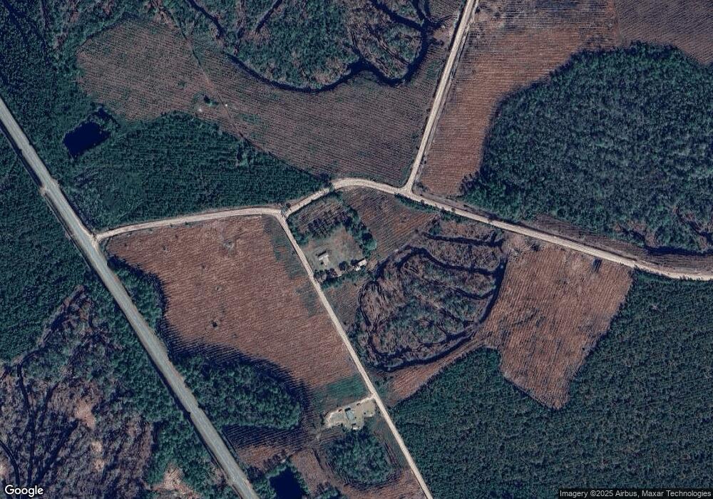
Map
Nearby Homes
- 77 4th Ave
- 106 Nancy Ave
- 729 U S 441
- TBD N Us Hwy 441
- 264 Cuttings Loop Rd
- NE 36th Dr
- TBD NE 36th Dr
- 0 Fargo Hwy
- 102 McGlashin Dr
- 0 U S 84 Unit 2 10563291
- 0 U S 84 Unit 1 10563254
- 0 U S 84 Unit 3 10563296
- 0 U S 84 Unit 4 10563302
- 0 Us-441 S
- 244 Courtland Ave
- 222 E Elna St
- 314 Pine St
- 59 Ann St
- 18246 SE 62nd Dr
- 911 Woodlake Dr