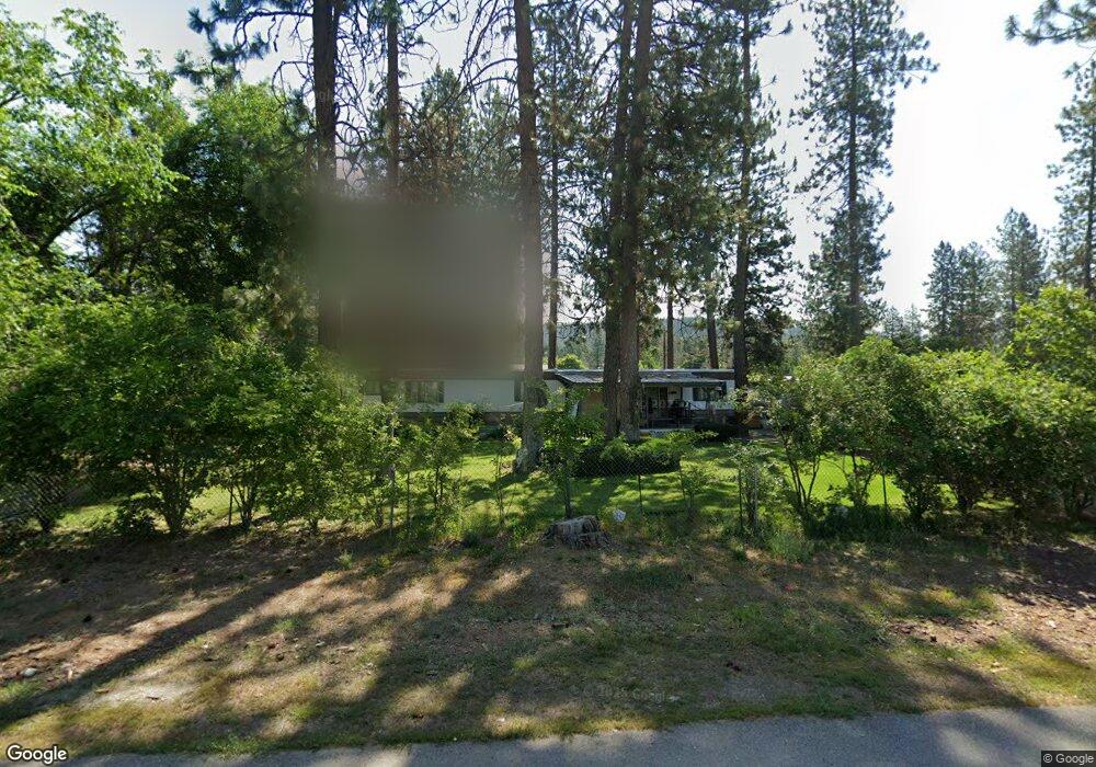
6460 Circle Dr Nine Mile Falls, WA 99026
Estimated Value: $123,000 - $281,000
--
Bed
--
Bath
924
Sq Ft
$241/Sq Ft
Est. Value
About This Home
This home is located at 6460 Circle Dr, Nine Mile Falls, WA 99026 and is currently estimated at $222,667, approximately $240 per square foot. 6460 Circle Dr is a home with nearby schools including Lakeside High School.
Ownership History
Date
Name
Owned For
Owner Type
Purchase Details
Closed on
Jul 2, 2014
Sold by
Neighbors A J and Neighbors Cheryl A
Bought by
Fisher Jamie L
Current Estimated Value
Home Financials for this Owner
Home Financials are based on the most recent Mortgage that was taken out on this home.
Original Mortgage
$10,000
Interest Rate
5%
Mortgage Type
Seller Take Back
Purchase Details
Closed on
Jan 31, 2014
Sold by
Taylor Walter and Taylor Danielle
Bought by
Neighbors A J and Neighbors Cheryl A
Purchase Details
Closed on
Jan 25, 2012
Sold by
Neighbors A J and Neighbors Cheryl A
Bought by
Taylor Walter and Taylor Danielle
Home Financials for this Owner
Home Financials are based on the most recent Mortgage that was taken out on this home.
Original Mortgage
$59,770
Interest Rate
5%
Mortgage Type
Seller Take Back
Purchase Details
Closed on
Nov 21, 2003
Sold by
Berscheid Lois
Bought by
Neighbors A J
Create a Home Valuation Report for This Property
The Home Valuation Report is an in-depth analysis detailing your home's value as well as a comparison with similar homes in the area
Home Values in the Area
Average Home Value in this Area
Purchase History
| Date | Buyer | Sale Price | Title Company |
|---|---|---|---|
| Fisher Jamie L | -- | None Available | |
| Fisher Jamie L | $35,000 | Stevens County Title Company | |
| Neighbors A J | -- | Stevens County Title Company | |
| Taylor Walter | $65,000 | Stevens County Title Company | |
| Neighbors A J | -- | None Available |
Source: Public Records
Mortgage History
| Date | Status | Borrower | Loan Amount |
|---|---|---|---|
| Previous Owner | Fisher Jamie L | $10,000 | |
| Previous Owner | Taylor Walter | $59,770 |
Source: Public Records
Tax History Compared to Growth
Tax History
| Year | Tax Paid | Tax Assessment Tax Assessment Total Assessment is a certain percentage of the fair market value that is determined by local assessors to be the total taxable value of land and additions on the property. | Land | Improvement |
|---|---|---|---|---|
| 2024 | $738 | $77,665 | $30,000 | $47,665 |
| 2023 | $619 | $66,944 | $25,000 | $41,944 |
| 2022 | $547 | $55,145 | $25,000 | $30,145 |
| 2021 | $21 | $45,415 | $20,000 | $25,415 |
| 2020 | $21 | $45,415 | $20,000 | $25,415 |
| 2019 | $21 | $44,409 | $16,000 | $28,409 |
| 2018 | $401 | $43,129 | $16,000 | $27,129 |
| 2017 | $371 | $29,476 | $16,000 | $13,476 |
| 2016 | $346 | $29,476 | $16,000 | $13,476 |
| 2015 | -- | $26,202 | $16,000 | $10,202 |
| 2013 | -- | $34,740 | $16,000 | $18,740 |
Source: Public Records
Map
Nearby Homes
- 6712 Washington 291
- 6437 N Dover Rd
- 6471 Hilltop Dr
- 6399 Lakeview Dr
- 6493 Washington 291
- 6601 Stony Way
- 6520 Pine Ridge Way
- 6533D Lois Way
- 6526 Summerlin Way
- 6520 B Pine Ridge Way
- 6456 N Villier Rd
- 6627G Thomas Ln
- 6558 Kate Dr
- 6562 Kate Dr
- 6563 Kate Dr
- 6578 Kate Dr
- 6542 Kate Dr
- 6612 Palmer Ln
- 6571 Kate Dr
- 23612 N Westlake Dr
- 6458 Circle Dr
- 6462 Circle Dr
- 6445 Kathy Ct (Was Pine Hill Ct)
- 6447 Kathy Place
- 6459 Circle Dr
- 6446 Kathy Place
- 6461 Circle Dr
- 6457 Circle Dr
- 6448 Kathy Place
- 6454 Circle Dr
- 6451 Kathy Place
- 6515 Highway Dr
- 6464 Circle Dr
- 6444 Kathy Place
- 6439 Highway Dr
- 6452 Circle Dr
- 6451 Highway Dr
- 6471 Boulder Way
- 6465 Circle Dr
- 6466 Circle Dr