6460 Quail Ridge Ln Dimondale, MI 48821
Estimated Value: $386,000 - $612,000
4
Beds
3
Baths
2,706
Sq Ft
$186/Sq Ft
Est. Value
About This Home
This home is located at 6460 Quail Ridge Ln, Dimondale, MI 48821 and is currently estimated at $503,998, approximately $186 per square foot. 6460 Quail Ridge Ln is a home located in Ingham County with nearby schools including Lockwood Elementary School, Greyhound Intermediate School, and Eaton Rapids Middle School.
Ownership History
Date
Name
Owned For
Owner Type
Purchase Details
Closed on
Feb 24, 2022
Sold by
West William R and West Aida
Bought by
West Family Trust
Current Estimated Value
Create a Home Valuation Report for This Property
The Home Valuation Report is an in-depth analysis detailing your home's value as well as a comparison with similar homes in the area
Home Values in the Area
Average Home Value in this Area
Purchase History
| Date | Buyer | Sale Price | Title Company |
|---|---|---|---|
| West Family Trust | -- | None Listed On Document |
Source: Public Records
Tax History Compared to Growth
Tax History
| Year | Tax Paid | Tax Assessment Tax Assessment Total Assessment is a certain percentage of the fair market value that is determined by local assessors to be the total taxable value of land and additions on the property. | Land | Improvement |
|---|---|---|---|---|
| 2025 | $7,196 | $221,400 | $76,900 | $144,500 |
| 2024 | $18 | $215,600 | $76,900 | $138,700 |
| 2023 | $6,707 | $180,900 | $49,300 | $131,600 |
| 2022 | $6,387 | $148,800 | $21,600 | $127,200 |
| 2021 | $6,271 | $145,000 | $21,600 | $123,400 |
| 2020 | $6,404 | $139,700 | $21,600 | $118,100 |
| 2019 | $6,085 | $135,900 | $21,600 | $114,300 |
| 2018 | $6,049 | $124,700 | $21,600 | $103,100 |
| 2017 | $5,603 | $124,700 | $21,600 | $103,100 |
| 2016 | $5,552 | $117,300 | $21,600 | $95,700 |
| 2015 | $5,572 | $113,200 | $43,275 | $69,925 |
| 2014 | $5,572 | $112,900 | $52,862 | $60,038 |
Source: Public Records
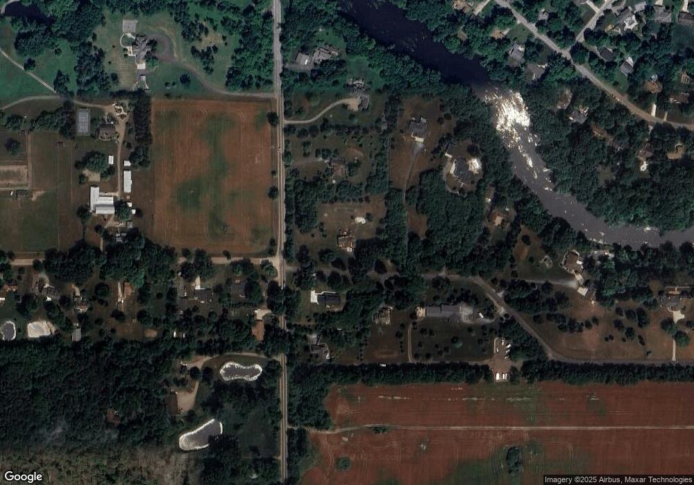
Map
Nearby Homes
- 6454 Pleasant River Dr
- 6290 Quail Ridge Ln Unit 13
- 6364 Mccue Rd
- 896 Waverly Rd
- 650 Waverly Rd
- 6414 Savanna Way
- 1881 Sunshine Path
- Parcel C Bailey Rd
- Parcel B Bailey Rd
- Parcel A Bailey Rd
- 6355 Holt Rd
- 525 Grovenburg Rd
- 1812 Hollowbrook Dr
- 1851 Hollowbrook Dr
- 1915 Hollowbrook Dr
- TBD N Onondaga Rd
- 1819 Merganser Dr
- The Newton Plan at Meadow Ridge
- The Windsor Plan at Meadow Ridge
- The Hickory Plan at Meadow Ridge
- 1270 Waverly Rd
- 6481 Quail Ridge Ln
- 6453 Quail Ridge Ln
- 11976 Ransom Hwy
- 1206 Waverly Rd
- 1211 Waverly Rd
- 6440 Quail Ridge Ln Unit 4
- 6415 Quail Ridge Ln
- 1300 Waverly Rd
- 6430 Quail Ridge Ln Unit 5
- 6420 Quail Ridge Ln Unit 6
- 11956 Ransom Hwy
- 1336 Waverly Rd
- 1325 N Waverly Rd
- 1203 Waverly Rd
- 11884 Ransom Hwy
- 6400 Quail Ridge Ln
- 6417 Pleasant River Dr
- 6411 Pleasant River Dr