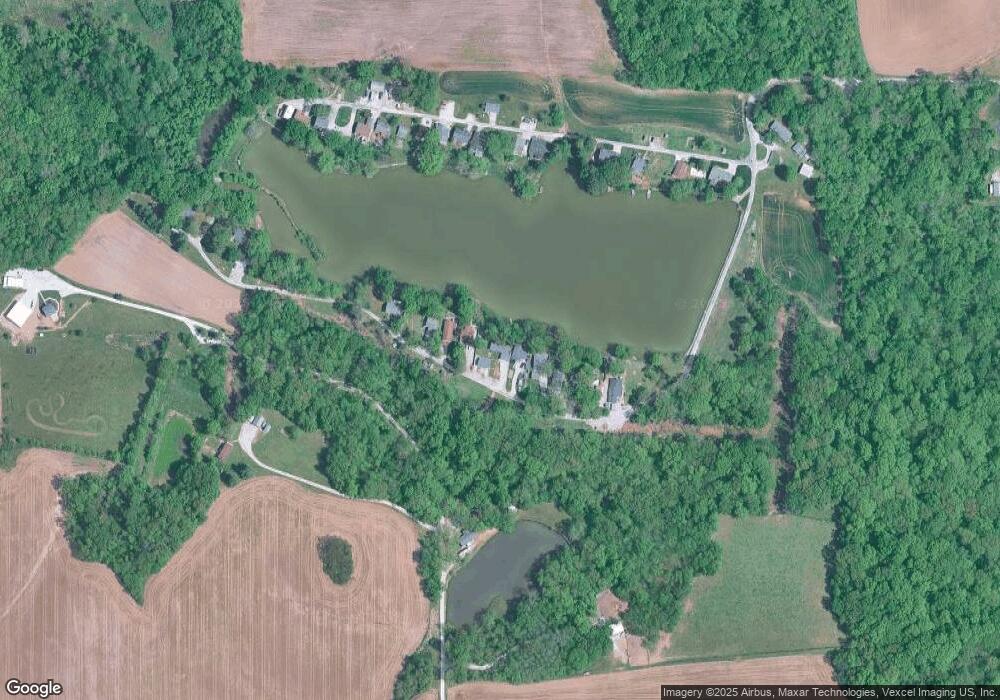
6461 S Ronnie Dr Waterloo, IL 62298
Estimated Value: $71,513 - $179,000
2
Beds
1
Bath
1,472
Sq Ft
$93/Sq Ft
Est. Value
About This Home
This home is located at 6461 S Ronnie Dr, Waterloo, IL 62298 and is currently estimated at $136,878, approximately $92 per square foot. 6461 S Ronnie Dr is a home located in Monroe County with nearby schools including W J Zahnow Elementary School, Gardner Elementary School, and Rogers Elementary School.
Ownership History
Date
Name
Owned For
Owner Type
Purchase Details
Closed on
Apr 3, 2025
Sold by
Sweet Brian G
Bought by
Sweet Brian G and Sweet Kevin
Current Estimated Value
Purchase Details
Closed on
Oct 7, 2024
Sold by
Ahrens Patrick R and Ahrens Tracey A
Bought by
Sweet Brian G
Home Financials for this Owner
Home Financials are based on the most recent Mortgage that was taken out on this home.
Original Mortgage
$48,000
Interest Rate
6.46%
Mortgage Type
New Conventional
Create a Home Valuation Report for This Property
The Home Valuation Report is an in-depth analysis detailing your home's value as well as a comparison with similar homes in the area
Home Values in the Area
Average Home Value in this Area
Purchase History
| Date | Buyer | Sale Price | Title Company |
|---|---|---|---|
| Sweet Brian G | -- | None Listed On Document | |
| Sweet Brian G | $60,000 | None Listed On Document |
Source: Public Records
Mortgage History
| Date | Status | Borrower | Loan Amount |
|---|---|---|---|
| Previous Owner | Sweet Brian G | $48,000 |
Source: Public Records
Tax History Compared to Growth
Tax History
| Year | Tax Paid | Tax Assessment Tax Assessment Total Assessment is a certain percentage of the fair market value that is determined by local assessors to be the total taxable value of land and additions on the property. | Land | Improvement |
|---|---|---|---|---|
| 2024 | $1,864 | $38,663 | $10,645 | $28,018 |
| 2023 | $0 | $36,660 | $10,080 | $26,580 |
| 2022 | $1,650 | $32,960 | $10,080 | $22,880 |
| 2021 | $1,661 | $32,490 | $10,080 | $22,410 |
| 2020 | $1,687 | $32,110 | $10,080 | $22,030 |
| 2019 | $1,530 | $29,300 | $10,080 | $19,220 |
| 2018 | $1,487 | $27,910 | $10,080 | $17,830 |
| 2017 | $1,438 | $28,463 | $10,261 | $18,202 |
| 2016 | $0 | $26,590 | $10,080 | $16,510 |
| 2015 | $1,120 | $23,340 | $10,080 | $13,260 |
| 2014 | $1,075 | $23,360 | $10,080 | $13,280 |
| 2012 | -- | $24,580 | $10,080 | $14,500 |
Source: Public Records
Map
Nearby Homes
- 6051 Lakeside Dr
- 0 Lot 27 Unit MAR24045804
- 5914 Willow Oak Ln
- 0 Lot 7 Plaza Pkwy Unit MIS25058488
- 0 Lot 4 Stonecrest Cir Unit MAR24032573
- 0 Plaza Pkwy
- 6114 Red Bird Ln
- 1304 Fieldstone
- 6210 Mohawk Trail
- 310 Briarwood Dr
- 5728 Brand Woods Dr
- 928 Alecia Dr
- 407 Morrison Ave
- 517 S Church St
- 212 Hoener Ave
- 409 Hartmann Ln
- 511 Mary Dr
- 301 Adams Dr
- 428 Hayden Dr
- 335 W 4th St
- 6453 S Ronnie Dr
- 6465 S Ronnie Dr
- 6449 S Ronnie Dr
- 6469 S Ronnie Dr
- 6473 S Ronnie Dr
- 6445 S Ronnie Dr
- 6477 S Ronnie Dr
- 6437 S Ronnie Dr
- 6485 S Ronnie Dr
- 5576 Fortman Ln
- 5544 N Ronnie Dr
- 5548 N Ronnie Dr
- 5532 N Ronnie Dr
- 5528 N Ronnie Dr
- 5560 N Ronnie Dr
- 5536 N Ronnie Dr
- 5520 N Ronnie Dr
- 5572 N Ronnie Dr
- 5516 N Ronnie Dr
