6461 Westpoint St Taylor, MI 48180
Estimated Value: $147,000 - $170,000
About This Home
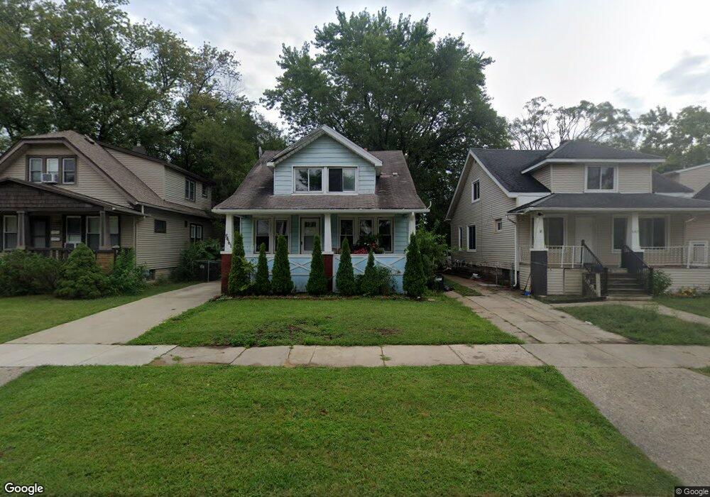
This home is located at 6461 Westpoint St, Taylor, MI 48180 and is currently estimated at $158,508, approximately $120 per square foot. 6461 Westpoint St is a home located in Wayne County with nearby schools including Clarence Randall Elementary School, Hoover Middle School, and Quest Charter Academy.
Ownership History
We collect this data history from publicly available records. To have your information removed, we recommend requesting removal directly through your county’s website.
Purchase Details
Home Financials for this Owner
Home Financials are based on the most recent Mortgage that was taken out on this home.Home Values in the Area
Average Home Value in this Area
Purchase History
We collect this data history from publicly available records. To have your information removed, we recommend requesting removal directly through your county’s website.
| Date | Buyer | Sale Price | Title Company |
|---|---|---|---|
| $58,000 | -- |
Mortgage History
We collect this data history from publicly available records. To have your information removed, we recommend requesting removal directly through your county’s website.
| Date | Status | Borrower | Loan Amount |
|---|---|---|---|
| Closed | $58,078 |
Tax History
We collect this data history from publicly available records. To have your information removed, we recommend requesting removal directly through your county’s website.
| Year | Tax Paid | Tax Assessment Tax Assessment Total Assessment is a certain percentage of the fair market value that is determined by local assessors to be the total taxable value of land and additions on the property. | Land | Improvement |
|---|---|---|---|---|
| 2025 | $1,696 | $75,500 | $0 | $0 |
| 2024 | $1,642 | $67,800 | $0 | $0 |
| 2023 | $1,960 | $64,400 | $0 | $0 |
| 2022 | $1,567 | $62,100 | $0 | $0 |
| 2021 | $1,724 | $55,200 | $0 | $0 |
| 2020 | $1,707 | $44,900 | $0 | $0 |
| 2019 | $170,705 | $41,100 | $0 | $0 |
| 2018 | $1,345 | $39,100 | $0 | $0 |
| 2017 | $730 | $35,000 | $0 | $0 |
| 2016 | $1,664 | $33,900 | $0 | $0 |
| 2015 | $3,040 | $30,400 | $0 | $0 |
| 2013 | $3,040 | $31,900 | $0 | $0 |
| 2012 | $1,359 | $31,200 | $4,700 | $26,500 |
Map
- 6469 Westpoint St
- 6562 Westpoint St
- 6606 Cornell St
- 6530 Madison St
- 6657 Westpoint St
- 6717 Cornell St
- 6430 Banner St
- 6602 Banner St
- 6550 Buck St
- 6784 Cooper St
- 6469 Elm St
- 6456 Birch St
- 5953 Cooper St
- 6537 Pardee Rd
- 5871 Cooper St
- 5689 Cornell St
- 5635 Westpoint St
- 7362 Elm St
- 24045 Currier St
- 23328 Hayes St
- 6477 Westpoint St
- 6453 Westpoint St
- 6485 Westpoint St
- 6505 Westpoint St
- 6447 Westpoint St
- 6511 Westpoint St Unit Bldg-Unit
- 6511 Westpoint St
- 6437 Westpoint St
- 6470 Westpoint St
- 6462 Westpoint St
- 6478 Westpoint St
- 6486 Westpoint St
- 6454 Westpoint St
- 6429 Westpoint St
- 6521 Westpoint St
- 6430 Cornell St
- 6506 Westpoint St
- 6446 Westpoint St
- 6438 Westpoint St
- 6512 Westpoint St
Ask me questions while you tour the home.