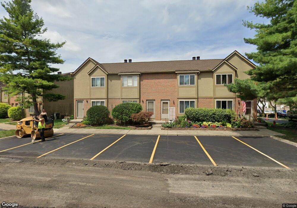
6463 Cranston Way Unit 34 Dublin, OH 43017
Riverside NeighborhoodEstimated Value: $202,000 - $227,000
2
Beds
2
Baths
1,031
Sq Ft
$211/Sq Ft
Est. Value
About This Home
This home is located at 6463 Cranston Way Unit 34, Dublin, OH 43017 and is currently estimated at $217,997, approximately $211 per square foot. 6463 Cranston Way Unit 34 is a home located in Franklin County with nearby schools including Riverside Elementary School, Ann Simpson Davis Middle School, and Dublin Scioto High School.
Ownership History
Date
Name
Owned For
Owner Type
Purchase Details
Closed on
Aug 5, 2004
Sold by
Hurley Amy M
Bought by
Hamer Deborah K
Current Estimated Value
Home Financials for this Owner
Home Financials are based on the most recent Mortgage that was taken out on this home.
Original Mortgage
$68,000
Outstanding Balance
$34,545
Interest Rate
6.37%
Mortgage Type
Purchase Money Mortgage
Estimated Equity
$183,452
Create a Home Valuation Report for This Property
The Home Valuation Report is an in-depth analysis detailing your home's value as well as a comparison with similar homes in the area
Home Values in the Area
Average Home Value in this Area
Purchase History
| Date | Buyer | Sale Price | Title Company |
|---|---|---|---|
| Hamer Deborah K | $85,000 | -- |
Source: Public Records
Mortgage History
| Date | Status | Borrower | Loan Amount |
|---|---|---|---|
| Open | Hamer Deborah K | $68,000 |
Source: Public Records
Tax History Compared to Growth
Tax History
| Year | Tax Paid | Tax Assessment Tax Assessment Total Assessment is a certain percentage of the fair market value that is determined by local assessors to be the total taxable value of land and additions on the property. | Land | Improvement |
|---|---|---|---|---|
| 2024 | $2,725 | $45,050 | $7,000 | $38,050 |
| 2023 | $2,686 | $45,045 | $7,000 | $38,045 |
| 2022 | $2,320 | $36,160 | $4,270 | $31,890 |
| 2021 | $2,358 | $36,160 | $4,270 | $31,890 |
| 2020 | $2,344 | $36,160 | $4,270 | $31,890 |
| 2019 | $1,961 | $26,780 | $3,150 | $23,630 |
| 2018 | $1,942 | $26,780 | $3,150 | $23,630 |
| 2017 | $1,810 | $26,780 | $3,150 | $23,630 |
| 2016 | $1,905 | $26,470 | $4,380 | $22,090 |
| 2015 | $1,917 | $26,470 | $4,380 | $22,090 |
| 2014 | $1,918 | $26,470 | $4,380 | $22,090 |
| 2013 | $1,948 | $26,460 | $4,375 | $22,085 |
Source: Public Records
Map
Nearby Homes
- 3334 Edgebrook Dr
- 6383 Dummerston Ct
- 6527 Quarry Ln
- 6549 Brock St
- 6241 Buck Ridge Rd
- 3263 Scioto Ridge Rd
- 6187 Water Bank St
- 6052 Dublin Rd
- 6190 Scioto Highland Rd
- 5771 Dublin Rd
- 3107 Hamden Ct
- 4187 Rings Rd
- 3327 Wolf Ridge Dr
- 5830 Settlers Place
- 3230 Brampton St
- 6585 Delburn Ct
- 3159 Brightington Dr
- 6802 Chesley Rd
- 6354 Emberwood Rd
- 3370 Kendelmarie Way
- 6463 Cranston Way
- 6465 Cranston Way
- 6467 Cranston Way Unit 36
- 6467 Cranston Way
- 6469 Cranston Way
- 6473 Cranston Way
- 6455 Cranston Way Unit 26
- 6456 Cranston Way Unit 24
- 6464 Cranston Way
- 6449 Cranston Way
- 6449 Cranston Way Unit 20
- 6474 Cranston Way Unit 39
- 6468 Cranston Way
- 6468 Cranston Way Unit 33
- 6476 Cranston Way Unit 40
- 6472 Cranston Way Unit 38
- 6466 Cranston Way
- 6462 Cranston Way
- 6462 Cranston Way Unit 30
- 6447 Cranston Way