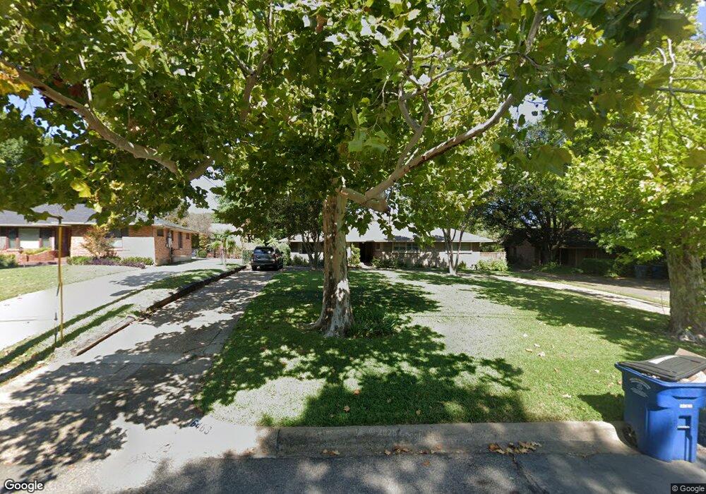
6463 Lange Cir Dallas, TX 75214
Northeast Dallas NeighborhoodEstimated Value: $1,186,000 - $1,356,052
3
Beds
4
Baths
2,990
Sq Ft
$423/Sq Ft
Est. Value
About This Home
This home is located at 6463 Lange Cir, Dallas, TX 75214 and is currently estimated at $1,266,013, approximately $423 per square foot. 6463 Lange Cir is a home located in Dallas County with nearby schools including Lakewood Elementary School, J L Long Middle School, and Woodrow Wilson High School.
Ownership History
Date
Name
Owned For
Owner Type
Purchase Details
Closed on
Dec 8, 2004
Sold by
Parr Ruth M and Firth Robert
Bought by
Kettles Jon C and Kettles Elizabeth K
Current Estimated Value
Home Financials for this Owner
Home Financials are based on the most recent Mortgage that was taken out on this home.
Original Mortgage
$300,000
Outstanding Balance
$142,888
Interest Rate
5%
Mortgage Type
Purchase Money Mortgage
Estimated Equity
$1,123,125
Purchase Details
Closed on
Sep 19, 1996
Sold by
Caldwell Randolph B and Caldwell Madelyn M
Bought by
Parr Ruth M
Home Financials for this Owner
Home Financials are based on the most recent Mortgage that was taken out on this home.
Original Mortgage
$208,800
Interest Rate
7.9%
Purchase Details
Closed on
Oct 7, 1994
Sold by
Smith Winifred L and Smith Gloria L
Bought by
Caldwell Randolph B and Caldwell Madelyn M
Home Financials for this Owner
Home Financials are based on the most recent Mortgage that was taken out on this home.
Original Mortgage
$124,100
Interest Rate
7.54%
Create a Home Valuation Report for This Property
The Home Valuation Report is an in-depth analysis detailing your home's value as well as a comparison with similar homes in the area
Home Values in the Area
Average Home Value in this Area
Purchase History
| Date | Buyer | Sale Price | Title Company |
|---|---|---|---|
| Kettles Jon C | -- | Rtt | |
| Parr Ruth M | -- | -- | |
| Caldwell Randolph B | -- | -- |
Source: Public Records
Mortgage History
| Date | Status | Borrower | Loan Amount |
|---|---|---|---|
| Open | Kettles Jon C | $300,000 | |
| Previous Owner | Parr Ruth M | $208,800 | |
| Previous Owner | Caldwell Randolph B | $124,100 |
Source: Public Records
Tax History Compared to Growth
Tax History
| Year | Tax Paid | Tax Assessment Tax Assessment Total Assessment is a certain percentage of the fair market value that is determined by local assessors to be the total taxable value of land and additions on the property. | Land | Improvement |
|---|---|---|---|---|
| 2025 | $17,847 | $1,300,000 | $1,026,090 | $273,910 |
| 2024 | $17,847 | $1,293,590 | $1,026,090 | $267,500 |
| 2023 | $17,847 | $1,280,270 | $1,026,090 | $254,180 |
| 2022 | $32,012 | $1,280,270 | $1,026,090 | $254,180 |
| 2021 | $19,785 | $750,000 | $0 | $0 |
| 2020 | $20,347 | $750,000 | $684,060 | $65,940 |
| 2019 | $22,434 | $788,490 | $684,060 | $104,430 |
| 2018 | $21,244 | $781,260 | $410,440 | $370,820 |
| 2017 | $19,236 | $707,410 | $410,440 | $296,970 |
| 2016 | $19,237 | $707,410 | $410,440 | $296,970 |
| 2015 | $12,073 | $528,100 | $202,590 | $325,510 |
| 2014 | $12,073 | $528,100 | $202,590 | $325,510 |
Source: Public Records
Map
Nearby Homes
- 6446 Lange Cir
- 6537 Patrick Dr
- 6459 Trammel Dr
- 6474 Sudbury Dr
- 6529 Trammel Dr
- 6415 Axton Ln
- 6269 Saratoga Cir
- 6527 Axton Cir
- 6529 Saint Moritz Ave
- 6314 Woodcrest Ln
- 4323 Ashford Dr
- 6711 Vada Dr
- 6720 Braeburn Dr
- 6305 Annapolis Ln
- 6231 Berwyn Ln
- 6746 Braeburn Dr
- 6802 Vada Dr
- 6431 Dunstan Ln
- 6612 E Mockingbird Ln
- 6644 Santa Anita Dr
- 6503 Lange Cir
- 6457 Lange Cir
- 6509 Lange Cir
- 6451 Lange Cir
- 6446 Patrick Dr
- 6456 Patrick Dr
- 6450 Patrick Dr
- 6440 Patrick Dr
- 6447 Lange Cir
- 6517 Lange Cir
- 6458 Lange Cir
- 6510 Lange Cir
- 6436 Patrick Dr
- 6441 Lange Cir
- 6452 Lange Cir
- 6430 Patrick Dr
- 6439 Lange Cir
- 6424 Patrick Dr
- 6416 Patrick Dr
- 6440 Lange Cir