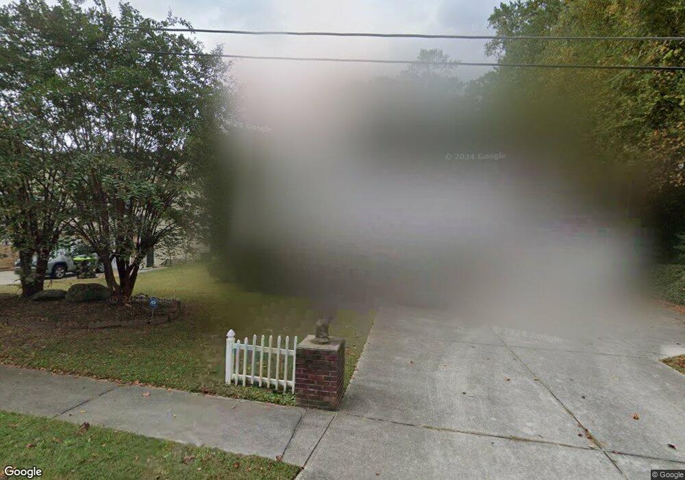
6463 Wanda Ln Austell, GA 30168
Estimated Value: $326,000 - $414,000
4
Beds
3
Baths
1,638
Sq Ft
$217/Sq Ft
Est. Value
About This Home
This home is located at 6463 Wanda Ln, Austell, GA 30168 and is currently estimated at $355,382, approximately $216 per square foot. 6463 Wanda Ln is a home located in Cobb County with nearby schools including Bryant Elementary School, Lindley Middle School, and Pebblebrook High School.
Ownership History
Date
Name
Owned For
Owner Type
Purchase Details
Closed on
May 17, 2007
Sold by
Huff Curtis R and Huff Evette B
Bought by
Williams Eddie
Current Estimated Value
Home Financials for this Owner
Home Financials are based on the most recent Mortgage that was taken out on this home.
Original Mortgage
$175,655
Outstanding Balance
$106,030
Interest Rate
6.12%
Mortgage Type
New Conventional
Estimated Equity
$249,352
Create a Home Valuation Report for This Property
The Home Valuation Report is an in-depth analysis detailing your home's value as well as a comparison with similar homes in the area
Home Values in the Area
Average Home Value in this Area
Purchase History
| Date | Buyer | Sale Price | Title Company |
|---|---|---|---|
| Williams Eddie | $184,900 | -- |
Source: Public Records
Mortgage History
| Date | Status | Borrower | Loan Amount |
|---|---|---|---|
| Open | Williams Eddie | $175,655 |
Source: Public Records
Tax History
| Year | Tax Paid | Tax Assessment Tax Assessment Total Assessment is a certain percentage of the fair market value that is determined by local assessors to be the total taxable value of land and additions on the property. | Land | Improvement |
|---|---|---|---|---|
| 2025 | $4,302 | $142,784 | $28,000 | $114,784 |
| 2024 | $4,305 | $142,784 | $28,000 | $114,784 |
| 2023 | $3,555 | $117,896 | $18,000 | $99,896 |
Source: Public Records
Map
Nearby Homes
- 1151 S Gordon Rd
- 6445 Sherwood Trail
- 1972 Cox Dr Unit 5
- 1920 Silver Creek Dr Unit 4
- 6559 Brandemere Way
- 6563 Brandemere Way
- 1784 Brandemere Dr Unit 3
- 1961 Abbey Province
- 1576 S Gordon Rd
- 6182 Grove Crest Way Unit 3
- 6595 Malvin Dr
- 6718 Roscommon Dr
- 6496 Drake Manor
- 6486 Drake Manor
- 6488 Drake Manor
- 6651 Malvin Dr
- 6627 Coventry Point
- 1531 Withmoor Terrace
- 1541 Withmoor Terrace
- 6708 S Dillon Rd
- 6453 Wanda Ln
- 1872 S Gordon Rd Unit 1
- 6306 Milo Dr
- 6464 Wanda Ln
- 6454 Wanda Ln
- 1862 S Gordon Rd
- 6443 Wanda Ln
- 6430 S Gordon Rd
- 6440 S Gordon Rd
- 6310 Milo Dr
- 6407 S Gordon Rd
- 6315 Milo Dr
- 6435 Wanda Ln
- 6410 S Gordon Rd
- 6444 Wanda Ln
- 1852 S Gordon Rd
- 6410 S Gordon Rd SW
- 6323 Milo Dr
- 6314 Milo Dr
- 6395 S Gordon Rd Unit 2
Your Personal Tour Guide
Ask me questions while you tour the home.