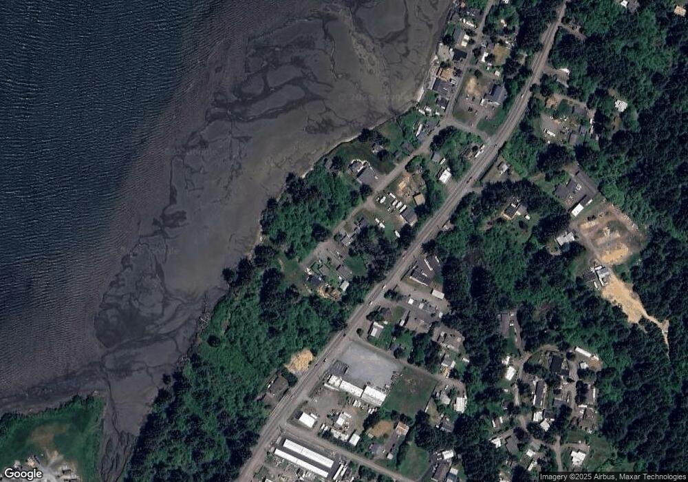
64647 Wygant Rd Coos Bay, OR 97420
Estimated Value: $150,000 - $164,979
1
Bed
1
Bath
560
Sq Ft
$281/Sq Ft
Est. Value
About This Home
This home is located at 64647 Wygant Rd, Coos Bay, OR 97420 and is currently estimated at $157,490, approximately $281 per square foot. 64647 Wygant Rd is a home located in Coos County with nearby schools including Sunset School, Madison Elementary School, and Marshfield Senior High School.
Ownership History
Date
Name
Owned For
Owner Type
Purchase Details
Closed on
Jul 11, 2019
Sold by
Allen Dean and Dean Cheryl
Bought by
Dean Allen R and Dean Cheryl D
Current Estimated Value
Purchase Details
Closed on
May 10, 2018
Sold by
Baughman Bryan
Bought by
Dean Allen and Dean Cheryl
Purchase Details
Closed on
Nov 1, 2012
Sold by
Hoye Tracy A
Bought by
Braynard Nathan C and Braynard Laura A
Purchase Details
Closed on
Jun 25, 2010
Sold by
Varley Thomas I
Bought by
Phillips Dennis
Create a Home Valuation Report for This Property
The Home Valuation Report is an in-depth analysis detailing your home's value as well as a comparison with similar homes in the area
Home Values in the Area
Average Home Value in this Area
Purchase History
| Date | Buyer | Sale Price | Title Company |
|---|---|---|---|
| Dean Allen R | -- | None Available | |
| Dean Allen | $75,000 | Ticor Title Co | |
| Braynard Nathan C | $42,500 | Ticor Title Company | |
| Phillips Dennis | $14,494 | Ticor Title Insurance |
Source: Public Records
Tax History Compared to Growth
Tax History
| Year | Tax Paid | Tax Assessment Tax Assessment Total Assessment is a certain percentage of the fair market value that is determined by local assessors to be the total taxable value of land and additions on the property. | Land | Improvement |
|---|---|---|---|---|
| 2024 | $705 | $45,220 | -- | -- |
| 2023 | $679 | $43,910 | $0 | $0 |
| 2022 | $671 | $42,640 | $0 | $0 |
| 2021 | $569 | $41,400 | $0 | $0 |
| 2020 | $554 | $41,400 | $0 | $0 |
| 2019 | $530 | $39,030 | $0 | $0 |
| 2018 | $515 | $37,900 | $0 | $0 |
| 2017 | $1,472 | $36,800 | $0 | $0 |
| 2016 | $1,621 | $35,730 | $0 | $0 |
| 2015 | $396 | $34,690 | $0 | $0 |
| 2014 | $396 | $33,680 | $0 | $0 |
Source: Public Records
Map
Nearby Homes
- 92478 Cape Arago Hwy
- 64588 Cammann Rd
- 842 S Empire Blvd
- 91370 Kellogg Ln
- 817 S Empire Blvd
- 763 S Wasson St
- 740 S Cammann St
- 0 S Empire Blvd
- 649 S Wall St
- 92252 Cape Arago Hwy
- 91323 Sandstone Ln Unit 418
- 536 S Marple St
- 64274 Saddler Rd
- 91319 Grinnell Ln
- 0 Fulton Ave Unit 394328228
- 91382 Grinnell Ln
- 407 S Empire Blvd
- 588 Madison St
- 375 S Marple St
- 369 S Marple St
- 1226 Wygant Rd
- 64641 Wygant Rd
- 64635 Wygant Rd
- 64631 Wygant Rd
- 64642 Wygant Rd
- 64627 Wygant Rd
- 64655 Wygant Rd
- 64668 Wygant Rd
- 64638 Wygant Rd
- 92616 Cape Arago Hwy
- 64664 Wygant Rd
- 92644 Cape Arago Hwy
- 92644 Cape Arago Hwy Unit Lot 1
- 92644 Cape Arago Hwy Unit Lot 2
- 92606 Cape Arago Hwy
- 92630 Cape Arago Hwy
- 64681 Wygant Rd
- 1159 Wygant Rd
- 92618 Cape Arago Hwy
- 64682 Wygant Rd
