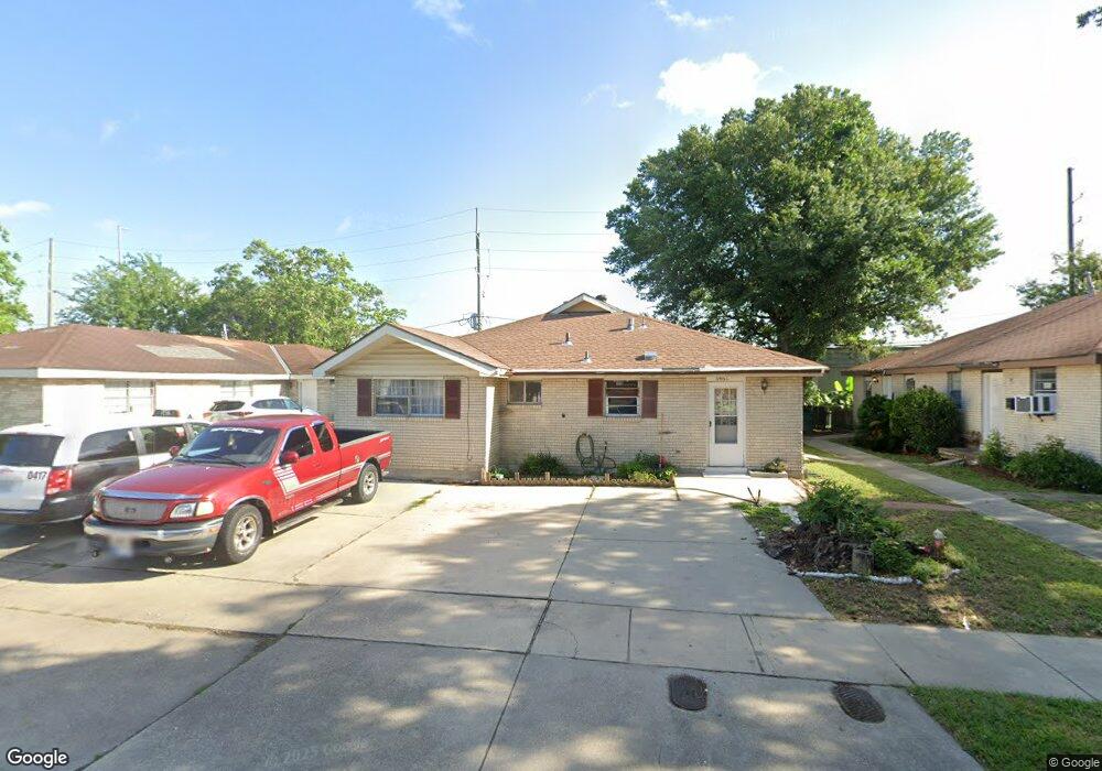
6467 Marcie St Metairie, LA 70003
Westgate NeighborhoodEstimated Value: $217,032 - $271,000
4
Beds
2
Baths
1,900
Sq Ft
$131/Sq Ft
Est. Value
About This Home
This home is located at 6467 Marcie St, Metairie, LA 70003 and is currently estimated at $249,008, approximately $131 per square foot. 6467 Marcie St is a home located in Jefferson Parish with nearby schools including Airline Park Academy For Advanced Studies, Green Park Elementary School, and John Q. Adams Middle School.
Ownership History
Date
Name
Owned For
Owner Type
Purchase Details
Closed on
May 14, 2004
Sold by
Joly John
Bought by
Eslaih Azmi and Nassar,Emad
Current Estimated Value
Home Financials for this Owner
Home Financials are based on the most recent Mortgage that was taken out on this home.
Original Mortgage
$134,425
Outstanding Balance
$64,398
Interest Rate
5.81%
Mortgage Type
Purchase Money Mortgage
Estimated Equity
$184,610
Create a Home Valuation Report for This Property
The Home Valuation Report is an in-depth analysis detailing your home's value as well as a comparison with similar homes in the area
Home Values in the Area
Average Home Value in this Area
Purchase History
| Date | Buyer | Sale Price | Title Company |
|---|---|---|---|
| Eslaih Azmi | $141,500 | -- |
Source: Public Records
Mortgage History
| Date | Status | Borrower | Loan Amount |
|---|---|---|---|
| Open | Eslaih Azmi | $134,425 |
Source: Public Records
Tax History Compared to Growth
Tax History
| Year | Tax Paid | Tax Assessment Tax Assessment Total Assessment is a certain percentage of the fair market value that is determined by local assessors to be the total taxable value of land and additions on the property. | Land | Improvement |
|---|---|---|---|---|
| 2024 | $1,570 | $18,460 | $3,780 | $14,680 |
| 2023 | $2,259 | $17,170 | $3,780 | $13,390 |
| 2022 | $2,200 | $17,170 | $3,780 | $13,390 |
| 2021 | $2,043 | $17,170 | $3,780 | $13,390 |
| 2020 | $2,028 | $17,170 | $3,780 | $13,390 |
| 2019 | $1,890 | $15,560 | $3,780 | $11,780 |
| 2018 | $1,765 | $15,560 | $3,780 | $11,780 |
| 2017 | $1,765 | $15,560 | $3,780 | $11,780 |
| 2016 | $1,730 | $15,560 | $3,780 | $11,780 |
| 2015 | $1,667 | $14,820 | $3,780 | $11,040 |
| 2014 | $1,667 | $14,820 | $3,780 | $11,040 |
Source: Public Records
Map
Nearby Homes
- 6448 Park Manor Dr
- 2801 Ingrid Ln
- 2505 Judith St
- 6109 Marcie St
- 2508 Margie St
- 6305 York St
- 2513 Margie St
- 2705 Wytchwood Dr
- 6200 Riverside Dr Unit 539
- 6200 Riverside Dr Unit 426
- 6200 Riverside Dr Unit 623
- 6200 Riverside Dr Unit 404
- 6200 Riverside Dr Unit 513
- 6200 Riverside Dr Unit 625
- 2608 Winifred St
- 6504 Boutall St
- 6220 Riverside Dr Unit 481
- 6471 Marcie St
- 6463 Marcie St
- 6475-77 Marcie St
- 6475 Marcie St
- 6459 Marcie St
- 6475 77 Marci St
- 6464 Marcie St
- 6470 Marcie St
- 6460 Marcie St
- 6455 Marcie St
- 6479 Marcie St
- 6474 Marcie St
- 2908 Bryant Dr
- 2908 Bryant St
- 6476 Marcie St
- 6451 53 Marcie St
- 6483 Marcie St
- 2904 Bryant St
- 2904 Bryant Dr Unit B
- 2904 Bryant Dr