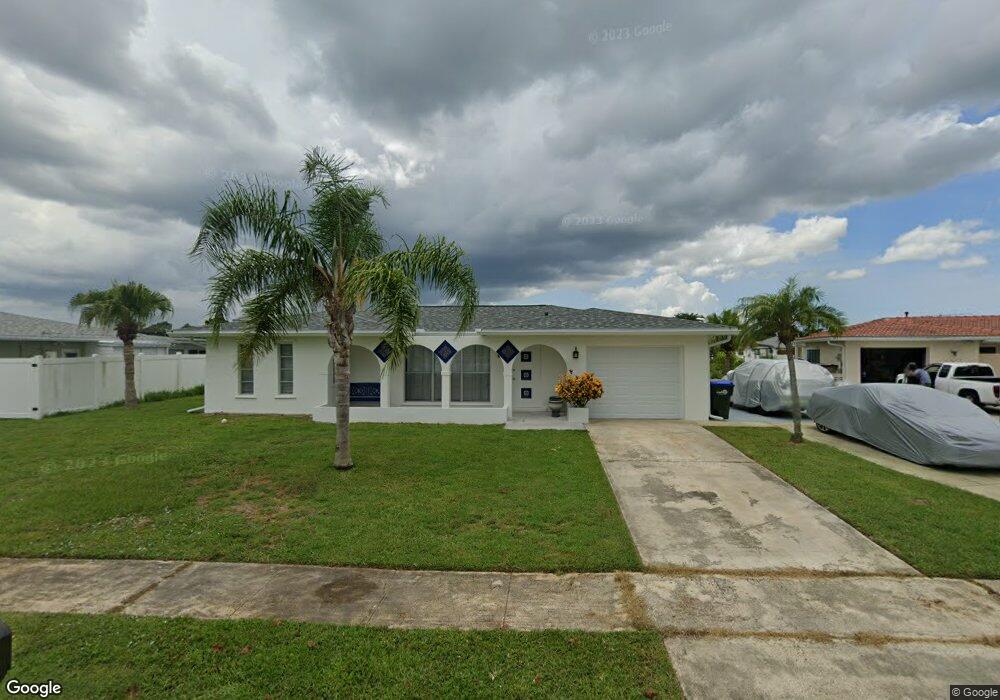
6467 Otis Rd North Port, FL 34287
Estimated Value: $259,461 - $341,000
2
Beds
2
Baths
1,649
Sq Ft
$179/Sq Ft
Est. Value
About This Home
This home is located at 6467 Otis Rd, North Port, FL 34287 and is currently estimated at $295,115, approximately $178 per square foot. 6467 Otis Rd is a home located in Sarasota County with nearby schools including North Port High School, Lamarque Elementary School, and Heron Creek Middle School.
Ownership History
Date
Name
Owned For
Owner Type
Purchase Details
Closed on
Jan 11, 2013
Sold by
Mcelrath Robert and Stella Mcelrath Elena
Bought by
Stella Mcelrath Elena
Current Estimated Value
Purchase Details
Closed on
Apr 18, 2008
Sold by
Wassall Gregory H
Bought by
Mcelrath Robert and Stella Mcelrath Elena
Home Financials for this Owner
Home Financials are based on the most recent Mortgage that was taken out on this home.
Original Mortgage
$115,000
Interest Rate
6.08%
Mortgage Type
Purchase Money Mortgage
Purchase Details
Closed on
Jul 25, 2006
Sold by
Wassall Phyllis R
Bought by
Wassall Gregory H
Create a Home Valuation Report for This Property
The Home Valuation Report is an in-depth analysis detailing your home's value as well as a comparison with similar homes in the area
Home Values in the Area
Average Home Value in this Area
Purchase History
| Date | Buyer | Sale Price | Title Company |
|---|---|---|---|
| Stella Mcelrath Elena | $53,500 | Attorney | |
| Mcelrath Robert | $165,000 | North Port Title Llc | |
| Wassall Gregory H | -- | Attorney |
Source: Public Records
Mortgage History
| Date | Status | Borrower | Loan Amount |
|---|---|---|---|
| Previous Owner | Mcelrath Robert | $115,000 |
Source: Public Records
Tax History Compared to Growth
Tax History
| Year | Tax Paid | Tax Assessment Tax Assessment Total Assessment is a certain percentage of the fair market value that is determined by local assessors to be the total taxable value of land and additions on the property. | Land | Improvement |
|---|---|---|---|---|
| 2024 | $3,497 | $210,800 | $70,400 | $140,400 |
| 2023 | $3,497 | $193,300 | $61,800 | $131,500 |
| 2022 | $3,277 | $177,600 | $47,800 | $129,800 |
| 2021 | $3,125 | $159,900 | $34,900 | $125,000 |
| 2020 | $3,006 | $150,700 | $32,400 | $118,300 |
| 2019 | $3,032 | $152,800 | $36,800 | $116,000 |
| 2018 | $2,755 | $148,000 | $30,500 | $117,500 |
| 2017 | $2,549 | $126,179 | $0 | $0 |
| 2016 | $2,437 | $123,400 | $18,500 | $104,900 |
| 2015 | $2,265 | $105,800 | $13,600 | $92,200 |
| 2014 | $2,088 | $87,670 | $0 | $0 |
Source: Public Records
Map
Nearby Homes
- 6483 Fabian Rd
- 6365 Scorpio Ave
- 6282 Morning Ave
- 6424 Elmwood Rd
- 6698 Acmar Ct
- 6103 Fabian Rd
- 6383 S Biscayne Dr
- 0997160030 Bolander Terrace
- 6912 Kenwood Dr
- 6127 Otis Rd
- 7959 Hyde Park Ave
- 7509 Mesa St
- 7518 Lyncrest St
- 5950 Spearman Cir
- 6213 Sooner St
- 35 Lino Rd
- 34 Lino Rd
- 33 Lino Rd
- 32 Lino Rd
- 6382 Talbot St