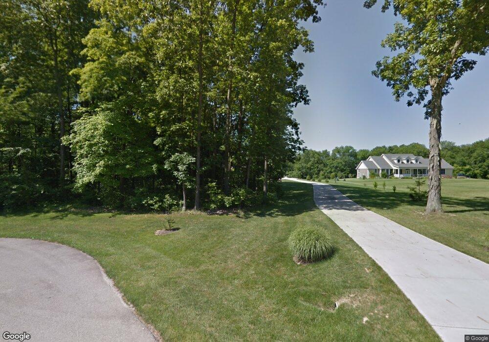
6469 Flint Trail Oregonia, OH 45054
Washington Township NeighborhoodEstimated Value: $547,000 - $734,000
3
Beds
4
Baths
2,252
Sq Ft
$284/Sq Ft
Est. Value
About This Home
This home is located at 6469 Flint Trail, Oregonia, OH 45054 and is currently estimated at $639,539, approximately $283 per square foot. 6469 Flint Trail is a home located in Warren County with nearby schools including Clinton-Massie Elementary School, Clinton-Massie Middle School, and Clinton-Massie High School.
Ownership History
Date
Name
Owned For
Owner Type
Purchase Details
Closed on
Jul 1, 2004
Sold by
Countryme Lebanon Ltd
Bought by
Vonbargen Randall C and Vonbargen Diane E
Current Estimated Value
Home Financials for this Owner
Home Financials are based on the most recent Mortgage that was taken out on this home.
Original Mortgage
$35,000
Interest Rate
6.37%
Mortgage Type
Balloon
Create a Home Valuation Report for This Property
The Home Valuation Report is an in-depth analysis detailing your home's value as well as a comparison with similar homes in the area
Home Values in the Area
Average Home Value in this Area
Purchase History
| Date | Buyer | Sale Price | Title Company |
|---|---|---|---|
| Vonbargen Randall C | $65,500 | -- |
Source: Public Records
Mortgage History
| Date | Status | Borrower | Loan Amount |
|---|---|---|---|
| Closed | Vonbargen Randall C | $35,000 |
Source: Public Records
Tax History Compared to Growth
Tax History
| Year | Tax Paid | Tax Assessment Tax Assessment Total Assessment is a certain percentage of the fair market value that is determined by local assessors to be the total taxable value of land and additions on the property. | Land | Improvement |
|---|---|---|---|---|
| 2024 | $4,805 | $164,290 | $47,210 | $117,080 |
| 2023 | $4,102 | $133,819 | $30,082 | $103,736 |
| 2022 | $4,043 | $133,819 | $30,083 | $103,737 |
| 2021 | $3,597 | $133,819 | $30,083 | $103,737 |
| 2020 | $3,365 | $108,798 | $24,458 | $84,340 |
| 2019 | $3,428 | $108,798 | $24,458 | $84,340 |
| 2018 | $3,541 | $108,798 | $24,458 | $84,340 |
| 2017 | $3,150 | $94,528 | $21,214 | $73,315 |
| 2016 | $3,243 | $94,528 | $21,214 | $73,315 |
| 2015 | $3,243 | $94,528 | $21,214 | $73,315 |
| 2014 | $3,135 | $88,940 | $20,420 | $68,520 |
| 2013 | $3,035 | $104,620 | $22,660 | $81,960 |
Source: Public Records
Map
Nearby Homes
- 6487 Flint Trail
- 702 Middleboro Rd
- 732 Settlemyre Rd
- 1015 Settlemyre Rd
- 6 Corwin Rd
- 1 Corwin Rd
- 6500 Olive Branch Rd
- 339 S Nixon Camp Rd
- 8784 Wilmington Rd
- 8788 Wilmington Rd
- 9029 Arrowcreek Dr
- Lot C Blazing Trail
- Lot B Blazing Trail
- 0 Meurer Field Blvd Unit 944143
- 0 Meurer Field Blvd Unit 1855974
- 304 High St
- 137 S Waynesville Rd
- 3841 Wilmington Rd
- 0 Wilmington Rd Unit 1856534
- 0 Wilmington Rd Unit 1856179
- 6475 Flint Trail
- 6472 Flint Trail
- 6481 Flint Trail
- 15 Flint Trail Dr
- 6484 Flint Trail
- 6466 Flint Trail
- 6445 Flint Trail
- 14 Flint Trail Dr
- 13 Flint Trail Dr
- Lot 31 Flint Trail Unit 31
- 6460 Flint Trail
- 6454 Flint Trail
- 6448 Flint Trail
- 6496 Flint Trail
- 6499 Flint Trail
- 6439 Flint Trail
- 20 Flint Trail Dr
- 6442 Flint Trail
- 6502 Flint Trail
- 0 Flint Trail Dr Unit 31 1191309