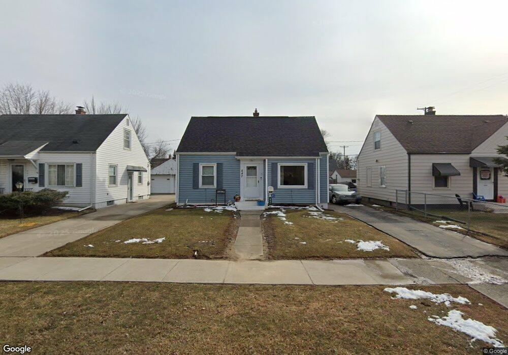
647 Alvord Ave Flint, MI 48507
South Side NeighborhoodEstimated Value: $54,000 - $82,000
3
Beds
1
Bath
1,053
Sq Ft
$66/Sq Ft
Est. Value
About This Home
This home is located at 647 Alvord Ave, Flint, MI 48507 and is currently estimated at $69,419, approximately $65 per square foot. 647 Alvord Ave is a home located in Genesee County with nearby schools including Neithercut Elementary School, Flint Southwestern Classical Academy, and International Academy of Flint (K-12).
Ownership History
Date
Name
Owned For
Owner Type
Purchase Details
Closed on
Jul 18, 2011
Sold by
Harris Harmon Dennis and Harris Janet Sue
Bought by
Harris Harmon Dennis and Harris Janet Sue
Current Estimated Value
Purchase Details
Closed on
Jan 27, 2009
Sold by
Scretary Of Housing & Urban Development
Bought by
Harris Harmon Dennis and Harris Janet Sue
Purchase Details
Closed on
Aug 14, 2008
Sold by
Citimortgage Inc
Bought by
The Secretary Of Housing & Urban Develop
Purchase Details
Closed on
Feb 13, 2008
Sold by
Gray Aaron R and Gray Linda A
Bought by
Citimortgage Inc
Create a Home Valuation Report for This Property
The Home Valuation Report is an in-depth analysis detailing your home's value as well as a comparison with similar homes in the area
Home Values in the Area
Average Home Value in this Area
Purchase History
| Date | Buyer | Sale Price | Title Company |
|---|---|---|---|
| Harris Harmon Dennis | -- | None Available | |
| Harris Harmon Dennis | $20,000 | None Available | |
| The Secretary Of Housing & Urban Develop | -- | None Available | |
| Citimortgage Inc | $67,413 | None Available |
Source: Public Records
Tax History Compared to Growth
Tax History
| Year | Tax Paid | Tax Assessment Tax Assessment Total Assessment is a certain percentage of the fair market value that is determined by local assessors to be the total taxable value of land and additions on the property. | Land | Improvement |
|---|---|---|---|---|
| 2025 | $965 | $25,900 | $0 | $0 |
| 2024 | $875 | $23,800 | $0 | $0 |
| 2023 | $860 | $18,000 | $0 | $0 |
| 2022 | $0 | $16,800 | $0 | $0 |
| 2021 | $893 | $14,700 | $0 | $0 |
| 2020 | $806 | $13,700 | $0 | $0 |
| 2019 | $786 | $11,600 | $0 | $0 |
| 2018 | $784 | $10,900 | $0 | $0 |
| 2017 | $763 | $0 | $0 | $0 |
| 2016 | $758 | $0 | $0 | $0 |
| 2015 | -- | $0 | $0 | $0 |
| 2014 | -- | $0 | $0 | $0 |
| 2012 | -- | $14,300 | $0 | $0 |
Source: Public Records
Map
Nearby Homes
- 647 Crawford St
- 631 Campbell St
- 627 Campbell St
- 652 Huron St
- 805 Alvord Ave
- 818 Alvord Ave
- 738 W Atherton Rd
- 727 Waldman Ave
- 3902 Cuthbertson St
- 829 Clinton St
- 822 Campbell St
- 845 Alvord Ave
- 616 Pettibone Ave
- 4418 Brunswick Ave
- 805 Vermilya Ave
- 825 Vermilya Ave
- 3214 S Grand Traverse St
- 745 Freeman Ave
- 0 Allen St Unit 50168596
- 619 Freeman Ave