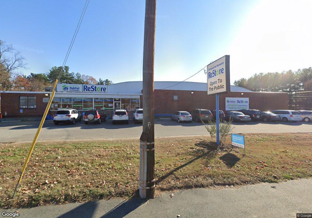
647 Andover St Lawrence, MA 01843
Estimated Value: $2,482,639
--
Bed
2
Baths
16,800
Sq Ft
$148/Sq Ft
Est. Value
About This Home
This home is located at 647 Andover St, Lawrence, MA 01843 and is currently estimated at $2,482,639, approximately $147 per square foot. 647 Andover St is a home located in Essex County with nearby schools including John Breen School, School For Exceptional Studies, and Robert Frost Middle School.
Ownership History
Date
Name
Owned For
Owner Type
Purchase Details
Closed on
May 16, 2012
Sold by
Higgins James L and Oconnor Madelene H
Bought by
Heavenly Investments 4
Current Estimated Value
Home Financials for this Owner
Home Financials are based on the most recent Mortgage that was taken out on this home.
Original Mortgage
$500,000
Outstanding Balance
$348,207
Interest Rate
4.01%
Mortgage Type
Commercial
Estimated Equity
$2,134,432
Create a Home Valuation Report for This Property
The Home Valuation Report is an in-depth analysis detailing your home's value as well as a comparison with similar homes in the area
Home Values in the Area
Average Home Value in this Area
Purchase History
| Date | Buyer | Sale Price | Title Company |
|---|---|---|---|
| Heavenly Investments 4 | $887,500 | -- |
Source: Public Records
Mortgage History
| Date | Status | Borrower | Loan Amount |
|---|---|---|---|
| Open | Heavenly Investments 4 | $500,000 |
Source: Public Records
Tax History Compared to Growth
Tax History
| Year | Tax Paid | Tax Assessment Tax Assessment Total Assessment is a certain percentage of the fair market value that is determined by local assessors to be the total taxable value of land and additions on the property. | Land | Improvement |
|---|---|---|---|---|
| 2025 | $33,171 | $1,801,800 | $475,200 | $1,326,600 |
| 2024 | $29,280 | $1,511,600 | $402,600 | $1,109,000 |
| 2023 | $18,525 | $876,300 | $337,300 | $539,000 |
| 2022 | $18,939 | $782,300 | $306,800 | $475,500 |
| 2021 | $20,186 | $764,900 | $306,800 | $458,100 |
| 2020 | $19,441 | $725,400 | $279,800 | $445,600 |
| 2019 | $18,942 | $651,600 | $294,600 | $357,000 |
| 2018 | $19,290 | $625,900 | $268,900 | $357,000 |
| 2017 | $18,579 | $553,100 | $238,400 | $314,700 |
| 2016 | $18,286 | $541,800 | $227,100 | $314,700 |
| 2015 | $17,571 | $541,800 | $227,100 | $314,700 |
Source: Public Records
Map
Nearby Homes
- 4 Bourque St
- 37 Tewksbury St Unit 39
- 11 Devonshire St
- 8 Packard St
- 18 Ames St
- 88 Beacon St Unit 7
- 0
- 20 Beaconsfield St
- 312 Water St Unit 13
- 439-443 Riverside Dr
- 3 Coleman St
- 29 Glenwood Dr
- 493 Andover St Unit 493
- 5 Marc Ln
- 9 Cyr Dr
- 91-93 Newton St
- 42 Marique Dr
- 112-116 Hancock St
- 41 Pembroke Dr
- 2 Cyr Dr
- 637 Andover St
- 115 Beacon Ave Unit D
- 115 Beacon Ave Unit C
- 115 Beacon Ave Unit B
- 115 Beacon Ave Unit A
- 115 Beacon Ave Unit C 115
- 117 Beacon Ave
- 121 Beacon Ave
- 111 Beacon Ave Unit C
- 111 Beacon Ave Unit B
- 111 Beacon Ave Unit A
- 95 Beacon Ave
- 87 Beacon Ave
- 85 Beacon Ave
- 85 Beacon Ave Unit 85
- 93 Beacon Ave
- 91 Beacon Ave
- 93 Beacon Ave Unit 5
- 93 Beacon Ave Unit 93
- 113 Beacon Ave Unit C