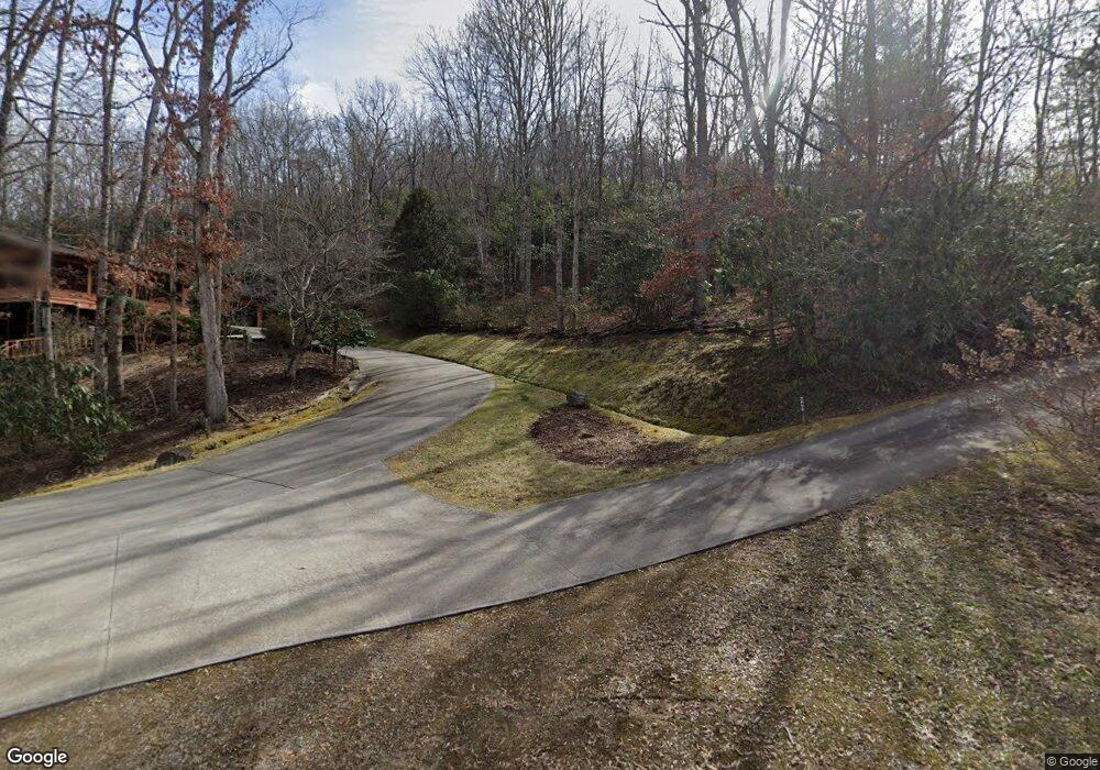
647 Eddie Bateman Dr Franklin, NC 28734
Estimated Value: $576,000 - $1,212,873
3
Beds
4
Baths
1,872
Sq Ft
$473/Sq Ft
Est. Value
About This Home
This home is located at 647 Eddie Bateman Dr, Franklin, NC 28734 and is currently estimated at $884,958, approximately $472 per square foot. 647 Eddie Bateman Dr is a home with nearby schools including Iotla Valley Elementary School, Mountain View Intermediate School, and Macon Middle School.
Ownership History
Date
Name
Owned For
Owner Type
Purchase Details
Closed on
Feb 11, 2022
Sold by
Phillip Luckadoo Carl and Phillip John Edwin
Bought by
Hintz Brandon J
Current Estimated Value
Purchase Details
Closed on
Jun 7, 2017
Sold by
Luckadoo Laura Jean
Bought by
Luckadoo Carl Phillip
Purchase Details
Closed on
Mar 10, 2011
Sold by
Rogers Harold R and Rogers Jennifer D
Bought by
Luckadoo Carl Phillip and Luckadoo Laura Jean
Create a Home Valuation Report for This Property
The Home Valuation Report is an in-depth analysis detailing your home's value as well as a comparison with similar homes in the area
Home Values in the Area
Average Home Value in this Area
Purchase History
| Date | Buyer | Sale Price | Title Company |
|---|---|---|---|
| Hintz Brandon J | $180,000 | Coward Hicks & Siler Pa | |
| Luckadoo Carl Phillip | -- | None Available | |
| Luckadoo Carl Phillip | $200,000 | None Available |
Source: Public Records
Tax History Compared to Growth
Tax History
| Year | Tax Paid | Tax Assessment Tax Assessment Total Assessment is a certain percentage of the fair market value that is determined by local assessors to be the total taxable value of land and additions on the property. | Land | Improvement |
|---|---|---|---|---|
| 2025 | -- | $900,660 | $181,060 | $719,600 |
| 2024 | $3,412 | $900,660 | $181,060 | $719,600 |
| 2023 | $717 | $612,920 | $181,060 | $431,860 |
| 2022 | $717 | $152,560 | $152,560 | $0 |
| 2021 | $693 | $152,560 | $152,560 | $0 |
| 2020 | $655 | $152,560 | $152,560 | $0 |
| 2018 | $783 | $194,170 | $194,170 | $0 |
| 2017 | $783 | $194,170 | $194,170 | $0 |
| 2016 | $764 | $194,170 | $194,170 | $0 |
| 2015 | $764 | $194,170 | $194,170 | $0 |
| 2014 | $607 | $196,480 | $196,480 | $0 |
| 2013 | -- | $196,480 | $196,480 | $0 |
Source: Public Records
Map
Nearby Homes
- 1120 Jacobs Branch Rd
- 00 Misty Dawn Cir
- 1126 Woodland Heights
- 00 Rabbit Ln
- 42 & 43 Trimont Lake Estates Rd
- 78 Whippoorwill Trail
- Lot 26 Bryson City Rd
- Lot 19 Bryson City Rd
- 00 Trimont Mountain Rd
- 333 Fox Layre Rd
- 109 Jewel Ln
- 48 Lakeside Cir
- 113 Courtney Marie Dr
- 00 Pine Ridge Dr
- 100 Shady Oaks Dr
- 587 Lakeside Cir
- 439 Brookwood Dr
- 120 Trimont Trail
- 0 Willow Pond Rd Unit 26041420
- 00 Willow Pond Rd
- 269 Eddie Bateman Dr
- 936 Jacobs Branch Rd
- 940 Jacobs Branch Rd
- 225 Eddie Bateman Dr
- 1025 Jacobs Branch Rd
- 1172 Sapphire Ln
- 19 Double Branch Cove
- 1119 Jacobs Branch Rd
- 30 Tyding Rd
- 142 Tyding Rd
- 1086 Sapphire Ln
- 0 Tyding Rd
- 993 Jacobs Branch Rd
- 115 Eddie Bateman Dr
- 836 Jacobs Branch Rd
- 00 Eddie Bateman Dr
- 1053 Jacobs Branch Rd
- n/a Eddie Bateman Dr
- 0 Eddie Bateman Dr
- 740 Jacobs Branch Rd