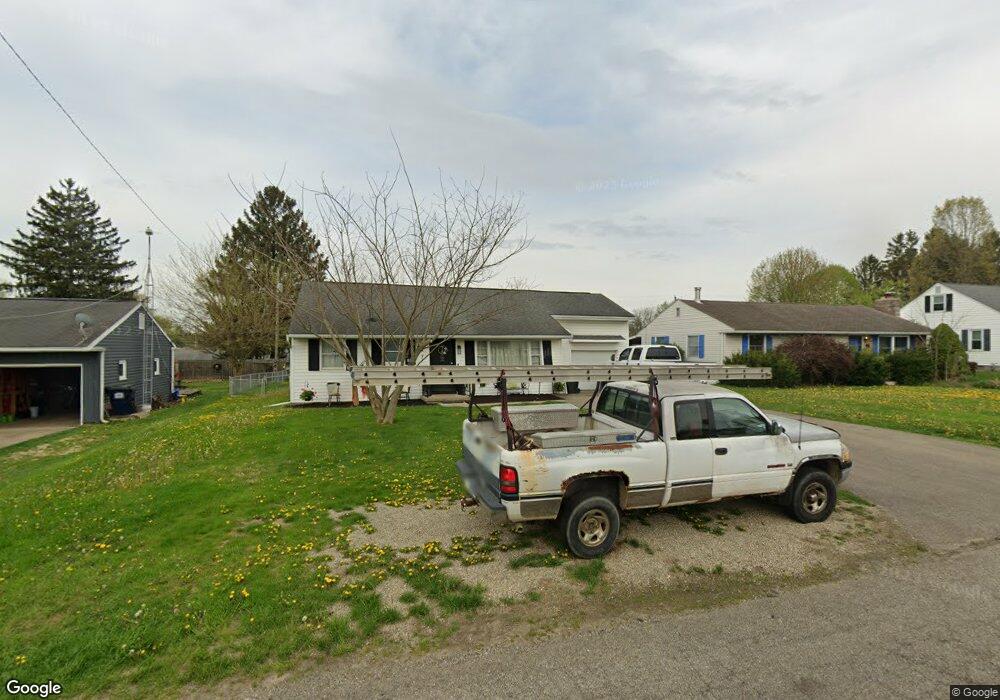
647 Euclid Ave Newark, OH 43055
Estimated Value: $214,000 - $229,000
3
Beds
1
Bath
1,224
Sq Ft
$182/Sq Ft
Est. Value
About This Home
This home is located at 647 Euclid Ave, Newark, OH 43055 and is currently estimated at $222,466, approximately $181 per square foot. 647 Euclid Ave is a home located in Licking County with nearby schools including John Clem Elementary School, Liberty Middle School, and Newark High School.
Ownership History
Date
Name
Owned For
Owner Type
Purchase Details
Closed on
Jul 31, 2020
Sold by
Anderson Sharon A and Estate Of Hazel L Williams
Bought by
Hayes Breanna N
Current Estimated Value
Home Financials for this Owner
Home Financials are based on the most recent Mortgage that was taken out on this home.
Original Mortgage
$126,100
Outstanding Balance
$112,066
Interest Rate
3.1%
Mortgage Type
New Conventional
Estimated Equity
$110,400
Create a Home Valuation Report for This Property
The Home Valuation Report is an in-depth analysis detailing your home's value as well as a comparison with similar homes in the area
Home Values in the Area
Average Home Value in this Area
Purchase History
| Date | Buyer | Sale Price | Title Company |
|---|---|---|---|
| Hayes Breanna N | $130,000 | None Available |
Source: Public Records
Mortgage History
| Date | Status | Borrower | Loan Amount |
|---|---|---|---|
| Open | Hayes Breanna N | $126,100 |
Source: Public Records
Tax History Compared to Growth
Tax History
| Year | Tax Paid | Tax Assessment Tax Assessment Total Assessment is a certain percentage of the fair market value that is determined by local assessors to be the total taxable value of land and additions on the property. | Land | Improvement |
|---|---|---|---|---|
| 2024 | $2,024 | $56,500 | $18,240 | $38,260 |
| 2023 | $2,020 | $56,500 | $18,240 | $38,260 |
| 2022 | $1,913 | $47,600 | $10,500 | $37,100 |
| 2021 | $2,006 | $47,600 | $10,500 | $37,100 |
| 2020 | $1,678 | $47,600 | $10,500 | $37,100 |
| 2019 | $1,297 | $37,670 | $9,140 | $28,530 |
| 2018 | $1,298 | $0 | $0 | $0 |
| 2017 | $1,110 | $0 | $0 | $0 |
| 2016 | $956 | $0 | $0 | $0 |
| 2015 | $976 | $0 | $0 | $0 |
| 2014 | $1,766 | $0 | $0 | $0 |
| 2013 | $1,075 | $0 | $0 | $0 |
Source: Public Records
Map
Nearby Homes
- 533 Leslie Dr
- 188 Meadow Dr
- 184 Meadow Dr
- 565 Granville St
- 562 Jutlew Rd
- 408 Granville St
- 594 N 21st St
- 632 Granville Rd
- 361 Granville St
- 752 Maxola Ave
- 425 N 11th St
- 584 Moull St Unit A
- 473 Meadowbrook Dr
- 830 Walker St
- 440 Reverie Place
- 370 Meadowbrook Dr
- 596 Velma Ave
- 64 N 10th St
- 245 Rugg Ave
- 355 Eddy St