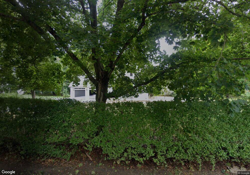
647 Main St Hanover, MA 02339
Estimated Value: $844,389 - $1,004,000
3
Beds
3
Baths
2,239
Sq Ft
$398/Sq Ft
Est. Value
About This Home
This home is located at 647 Main St, Hanover, MA 02339 and is currently estimated at $891,347, approximately $398 per square foot. 647 Main St is a home located in Plymouth County with nearby schools including Hanover High School, Cadence Academy Preschool - Hanover, and The Master's Academy.
Ownership History
Date
Name
Owned For
Owner Type
Purchase Details
Closed on
Sep 28, 2021
Sold by
Wilson George A and Wilson Donna
Bought by
G & D Wilson Irt
Current Estimated Value
Purchase Details
Closed on
Jul 18, 1975
Bought by
Wilson George A and Wilson Donna
Create a Home Valuation Report for This Property
The Home Valuation Report is an in-depth analysis detailing your home's value as well as a comparison with similar homes in the area
Home Values in the Area
Average Home Value in this Area
Purchase History
| Date | Buyer | Sale Price | Title Company |
|---|---|---|---|
| G & D Wilson Irt | -- | None Available | |
| Wilson George A | -- | -- |
Source: Public Records
Mortgage History
| Date | Status | Borrower | Loan Amount |
|---|---|---|---|
| Previous Owner | Wilson George A | $250,000 | |
| Previous Owner | Wilson George A | $100,000 | |
| Previous Owner | Wilson George A | $40,000 |
Source: Public Records
Tax History Compared to Growth
Tax History
| Year | Tax Paid | Tax Assessment Tax Assessment Total Assessment is a certain percentage of the fair market value that is determined by local assessors to be the total taxable value of land and additions on the property. | Land | Improvement |
|---|---|---|---|---|
| 2025 | $8,657 | $701,000 | $341,400 | $359,600 |
| 2024 | $8,454 | $658,400 | $341,400 | $317,000 |
| 2023 | $8,603 | $637,700 | $311,100 | $326,600 |
| 2022 | $8,266 | $542,000 | $260,200 | $281,800 |
| 2021 | $8,474 | $518,900 | $237,100 | $281,800 |
| 2020 | $8,390 | $514,400 | $237,100 | $277,300 |
| 2019 | $7,928 | $483,100 | $237,100 | $246,000 |
| 2018 | $7,865 | $483,100 | $237,100 | $246,000 |
| 2017 | $7,130 | $431,600 | $242,200 | $189,400 |
| 2016 | $6,779 | $402,100 | $220,600 | $181,500 |
| 2015 | $6,428 | $398,000 | $240,200 | $157,800 |
Source: Public Records
Map
Nearby Homes
- 118 Bates Way
- 70 Dillingham Way
- 53 Chestnut St
- 62 Larchmont Ln
- 276 Woodland Dr
- 8 Old Farm Rd
- 116 Spring Meadow Ln
- 265 Silver St
- 375 Webster St
- 216 Whiting St
- 1239 Main St
- 14 Longwood Ln Unit 14
- 250 Center St
- 51 Cervelli Farm Dr
- 37 Dr
- 23 Cervelli Farm Dr
- 38 Cervelli Farm Dr
- 9 Cervelli Farm Dr
- 7 Assinippi Ave Unit 306
- 80 Coolidge Rd