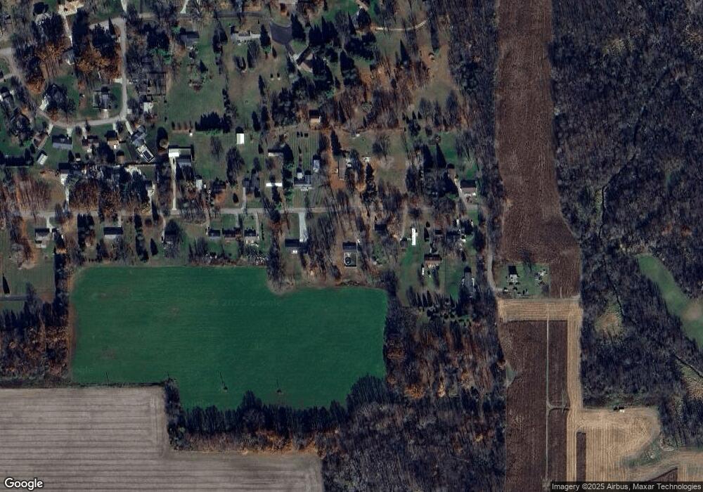
647 Mason Rd Coldwater, MI 49036
Estimated Value: $158,703 - $234,000
3
Beds
2
Baths
1,352
Sq Ft
$151/Sq Ft
Est. Value
About This Home
This home is located at 647 Mason Rd, Coldwater, MI 49036 and is currently estimated at $204,676, approximately $151 per square foot. 647 Mason Rd is a home located in Branch County with nearby schools including Coldwater High School, Pansophia Academy, and Branch County Christian School.
Ownership History
Date
Name
Owned For
Owner Type
Purchase Details
Closed on
Jun 3, 2016
Sold by
Aviza Lisa and Printke Lisa
Bought by
Aviza Lisa
Current Estimated Value
Home Financials for this Owner
Home Financials are based on the most recent Mortgage that was taken out on this home.
Original Mortgage
$97,560
Outstanding Balance
$43,974
Interest Rate
3.75%
Mortgage Type
FHA
Estimated Equity
$160,702
Purchase Details
Closed on
Mar 2, 2000
Sold by
Coscarelly Chris and Coscarelly Kelly
Bought by
Printke Lisa
Purchase Details
Closed on
Jan 29, 2000
Sold by
Strouse Robert G
Bought by
Coscarelly Chris and Coscarelly Kelly
Purchase Details
Closed on
Nov 26, 1999
Sold by
Murphy Stephen J and Murphy Barbara J
Bought by
Strouse Robert G
Purchase Details
Closed on
Feb 26, 1999
Sold by
Murphy Stephen J and Murphy Barbara J
Bought by
Strouse Robert G
Create a Home Valuation Report for This Property
The Home Valuation Report is an in-depth analysis detailing your home's value as well as a comparison with similar homes in the area
Home Values in the Area
Average Home Value in this Area
Purchase History
| Date | Buyer | Sale Price | Title Company |
|---|---|---|---|
| Aviza Lisa | -- | None Available | |
| Printke Lisa | $17,000 | -- | |
| Coscarelly Chris | $12,000 | -- | |
| Strouse Robert G | $12,000 | -- | |
| Strouse Robert G | $12,000 | -- |
Source: Public Records
Mortgage History
| Date | Status | Borrower | Loan Amount |
|---|---|---|---|
| Open | Aviza Lisa | $97,560 |
Source: Public Records
Tax History
| Year | Tax Paid | Tax Assessment Tax Assessment Total Assessment is a certain percentage of the fair market value that is determined by local assessors to be the total taxable value of land and additions on the property. | Land | Improvement |
|---|---|---|---|---|
| 2025 | $1,144 | $68,500 | $0 | $0 |
| 2024 | $10 | $66,400 | $0 | $0 |
| 2023 | $414 | $62,700 | $0 | $0 |
| 2022 | $1,047 | $55,200 | $0 | $0 |
| 2020 | -- | $60,000 | $0 | $0 |
| 2019 | -- | $39,400 | $0 | $0 |
| 2018 | -- | $35,300 | $0 | $0 |
| 2017 | -- | $33,700 | $0 | $0 |
| 2016 | -- | $38,800 | $0 | $0 |
| 2015 | -- | $31,000 | $0 | $0 |
| 2014 | -- | $36,600 | $0 | $0 |
| 2013 | -- | $40,700 | $0 | $0 |
Source: Public Records
Map
Nearby Homes
- 586 Schaeffer Dr
- 571 Scott Dr
- 29 Tanner Run
- 22 Lynn Ct
- 0 Lott Rd
- VL N Fiske Rd
- 732 Cambridge Dr
- 345 N Fremont Rd
- 410 N Fiske Rd
- 490 Dorrance Rd
- 222 Randy Dr
- 231 Aaron Dr
- 0 N Willowbrook Rd Unit 24042121
- 40 Balfour Dr
- 175 N Michigan Ave Unit 99
- 175 N Michigan Ave Unit 193
- 175 N Michigan Ave Unit 179
- 175 N Michigan Ave Unit 60
- 175 N Michigan Ave Unit 199
- 175 N Michigan Ave Unit 137
Your Personal Tour Guide
Ask me questions while you tour the home.