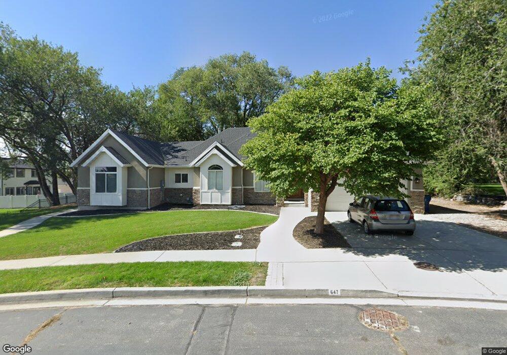
647 N 690 W Unit 39 American Fork, UT 84003
Estimated Value: $752,000 - $860,466
5
Beds
3
Baths
2,483
Sq Ft
$328/Sq Ft
Est. Value
About This Home
This home is located at 647 N 690 W Unit 39, American Fork, UT 84003 and is currently estimated at $814,867, approximately $328 per square foot. 647 N 690 W Unit 39 is a home located in Utah County with nearby schools including Shelley Elementary School, American Fork Junior High School, and American Fork High School.
Ownership History
Date
Name
Owned For
Owner Type
Purchase Details
Closed on
Jan 21, 2021
Sold by
Esquire Investments Llc
Bought by
Nelson Jay S
Current Estimated Value
Home Financials for this Owner
Home Financials are based on the most recent Mortgage that was taken out on this home.
Original Mortgage
$375,000
Outstanding Balance
$334,689
Interest Rate
2.71%
Mortgage Type
New Conventional
Estimated Equity
$480,178
Purchase Details
Closed on
Feb 12, 2009
Sold by
Nelson Jay S
Bought by
Esquire Investments Llc
Purchase Details
Closed on
May 16, 2008
Sold by
Nelson Jay S and Nelson Kimberly H
Bought by
Nelson Jay S
Home Financials for this Owner
Home Financials are based on the most recent Mortgage that was taken out on this home.
Original Mortgage
$417,000
Interest Rate
6.5%
Mortgage Type
New Conventional
Create a Home Valuation Report for This Property
The Home Valuation Report is an in-depth analysis detailing your home's value as well as a comparison with similar homes in the area
Home Values in the Area
Average Home Value in this Area
Purchase History
| Date | Buyer | Sale Price | Title Company |
|---|---|---|---|
| Nelson Jay S | -- | Inwest Title Orem | |
| Esquire Investments Llc | -- | None Available | |
| Nelson Jay S | -- | Accommodation |
Source: Public Records
Mortgage History
| Date | Status | Borrower | Loan Amount |
|---|---|---|---|
| Open | Nelson Jay S | $375,000 | |
| Previous Owner | Nelson Jay S | $417,000 |
Source: Public Records
Tax History Compared to Growth
Tax History
| Year | Tax Paid | Tax Assessment Tax Assessment Total Assessment is a certain percentage of the fair market value that is determined by local assessors to be the total taxable value of land and additions on the property. | Land | Improvement |
|---|---|---|---|---|
| 2025 | $3,614 | $415,195 | $241,400 | $513,500 |
| 2024 | $3,614 | $401,610 | $0 | $0 |
| 2023 | $3,466 | $742,400 | $0 | $0 |
| 2022 | $6,391 | $743,000 | $242,500 | $500,500 |
| 2021 | $3,026 | $549,500 | $173,200 | $376,300 |
| 2020 | $2,838 | $499,800 | $154,600 | $345,200 |
| 2019 | $2,680 | $488,200 | $143,000 | $345,200 |
| 2018 | $2,501 | $435,500 | $135,300 | $300,200 |
| 2017 | $2,394 | $225,005 | $0 | $0 |
| 2016 | $2,414 | $210,815 | $0 | $0 |
| 2015 | $2,488 | $206,195 | $0 | $0 |
| 2014 | $2,221 | $181,610 | $0 | $0 |
Source: Public Records
Map
Nearby Homes
- 962 N 780 St W Unit 508
- 974 N 780 St W Unit 509
- 916 N 780 St W Unit 501
- 822 W 800 St N Unit LOT319
- 777 W State Rd
- 822 N 860 W Unit 317
- 602 W 860 N
- 641 N 420 W
- 901 N Lakota Rd
- 356 N 480 W
- 3935 W 1000 N Unit 438
- 3983 W 1000 N Unit 442
- 4007 W 1000 N
- 3947 W 1000 N Unit 439
- 3959 W 1000 N
- 914 N 400 W Unit A
- 540 N 300 W
- 987 N 410 W
- 418 N 1322 E
- 328 N 1270 E