Estimated Value: $348,000 - $399,000
--
Bed
--
Bath
2,200
Sq Ft
$169/Sq Ft
Est. Value
About This Home
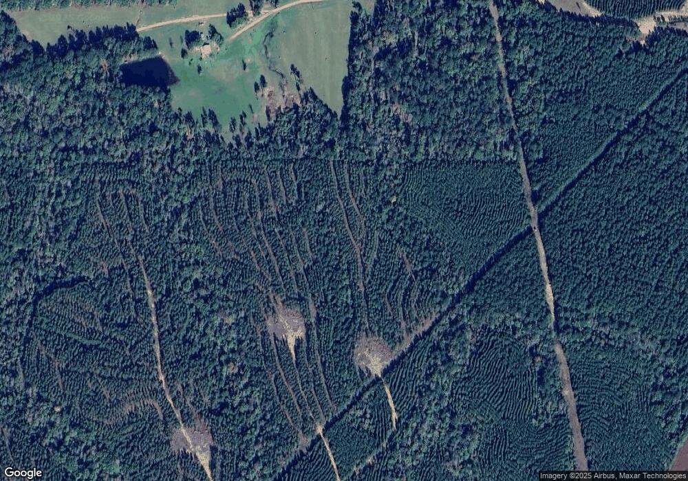
This home is located at 647 Panshi Ahata Rd, Trout, LA 71371 and is currently estimated at $371,667, approximately $168 per square foot. 647 Panshi Ahata Rd is a home.
Ownership History
Date
Name
Owned For
Owner Type
Purchase Details
Closed on
Aug 26, 2021
Sold by
Smith Rusty and Smith Beverly Cheryl
Bought by
Calk Derek Wayne and Calk Leslie Anne
Current Estimated Value
Purchase Details
Closed on
May 18, 2021
Sold by
Cockerham Chance Michael and Cockerham Sarah
Bought by
Calk Derek Wayne and Calk Leslie Cockerham
Purchase Details
Closed on
Mar 21, 2017
Sold by
Smith Rusty and Smith Beverly Cheryl Jackson
Bought by
Cockerham Calk Derek Wayne and Cockerham Calk Leslie Anne
Home Financials for this Owner
Home Financials are based on the most recent Mortgage that was taken out on this home.
Original Mortgage
$50,000,000
Interest Rate
4.16%
Mortgage Type
New Conventional
Create a Home Valuation Report for This Property
The Home Valuation Report is an in-depth analysis detailing your home's value as well as a comparison with similar homes in the area
Home Values in the Area
Average Home Value in this Area
Purchase History
| Date | Buyer | Sale Price | Title Company |
|---|---|---|---|
| Calk Derek Wayne | $55,000 | None Available | |
| Calk Derek Wayne | -- | None Available | |
| Cockerham Calk Derek Wayne | $49,500 | None Available |
Source: Public Records
Mortgage History
| Date | Status | Borrower | Loan Amount |
|---|---|---|---|
| Previous Owner | Cockerham Calk Derek Wayne | $50,000,000 |
Source: Public Records
Tax History Compared to Growth
Tax History
| Year | Tax Paid | Tax Assessment Tax Assessment Total Assessment is a certain percentage of the fair market value that is determined by local assessors to be the total taxable value of land and additions on the property. | Land | Improvement |
|---|---|---|---|---|
| 2024 | $3,551 | $26,973 | $314 | $26,659 |
| 2023 | $4,277 | $28,746 | $310 | $28,436 |
| 2022 | $3,295 | $22,140 | $310 | $21,830 |
| 2021 | $3,294 | $22,140 | $310 | $21,830 |
| 2020 | $3,490 | $22,140 | $310 | $21,830 |
| 2019 | $50 | $310 | $310 | $0 |
| 2018 | $50 | $310 | $310 | $0 |
| 2017 | $50 | $310 | $310 | $0 |
Source: Public Records
Map
Nearby Homes
- 159 Valentine Rd
- 6915 Highway 772 W
- 543 Hanger Rd
- 0 US 84 U S 84
- 00 U S 84
- 555 Benelbie Rd
- 333 Yocum Rd Unit LotWP002
- 165 Mosquito Dr
- 383 Thorla St
- 152 Tranquility Acres Unit LotWP001
- 156 Buddys Ln
- 222 Yocum Rd Unit LotWP001
- 1115 Church St
- 1122 W Sharbono Rd
- 333 Yoakum Rd Unit LotWP001
- 4160 S First St
- 1685 Hodges St
- 0 Louisiana 127
- 116 Hudson St
- 1675 W Tennessee St
- 23250 Highway 8 W
- 133 Pipes Dr
- 194 Sleepyhollow Rd
- 23201 Highway 8 W
- 23204 Louisiana 8
- 124 Sleepyhollow Rd
- 23204 Highway 8 W
- 23204 Highway 8 W
- 172 Sleepyhollow Rd
- 169 Sleepy Hollow Rd
- 169 Sleepyhollow Rd
- 230 Wildwood Dr
- 23180 Highway 8 W
- 113 Sleepyhollow Rd
- 124 Wildwood Dr
- 204 Mayo Rd
- 140 Mayo Rd
- 274 Mayo Rd
- 175 Mayo Rd
- 157 Mayo Rd
