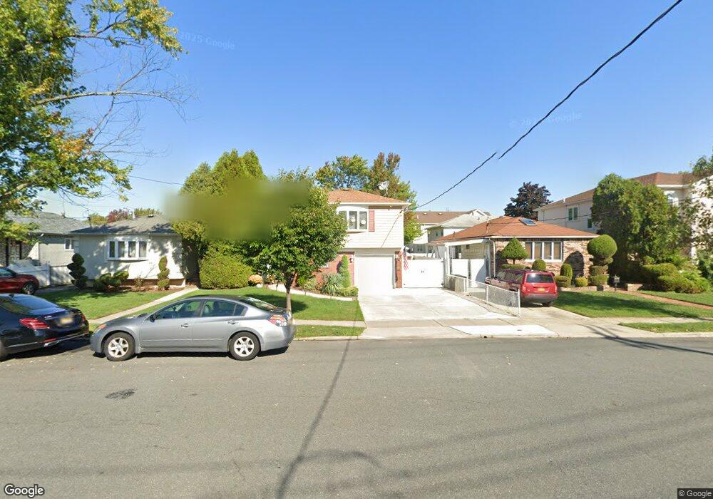
647 Sinclair Ave Staten Island, NY 10312
Huguenot NeighborhoodEstimated Value: $795,888 - $849,000
4
Beds
2
Baths
1,850
Sq Ft
$451/Sq Ft
Est. Value
About This Home
This home is located at 647 Sinclair Ave, Staten Island, NY 10312 and is currently estimated at $834,972, approximately $451 per square foot. 647 Sinclair Ave is a home located in Richmond County with nearby schools including P.S. 36 - J.C. Drumgoole, I.S. 075 Frank D. Paulo, and Tottenville High School.
Ownership History
Date
Name
Owned For
Owner Type
Purchase Details
Closed on
May 6, 1998
Sold by
Sansone Joseph A and Sansone Karen
Bought by
Bonica Joseph A and Bonica Jennifer
Current Estimated Value
Home Financials for this Owner
Home Financials are based on the most recent Mortgage that was taken out on this home.
Original Mortgage
$160,000
Interest Rate
7.09%
Create a Home Valuation Report for This Property
The Home Valuation Report is an in-depth analysis detailing your home's value as well as a comparison with similar homes in the area
Home Values in the Area
Average Home Value in this Area
Purchase History
| Date | Buyer | Sale Price | Title Company |
|---|---|---|---|
| Bonica Joseph A | $200,000 | -- |
Source: Public Records
Mortgage History
| Date | Status | Borrower | Loan Amount |
|---|---|---|---|
| Previous Owner | Bonica Joseph A | $160,000 |
Source: Public Records
Tax History Compared to Growth
Tax History
| Year | Tax Paid | Tax Assessment Tax Assessment Total Assessment is a certain percentage of the fair market value that is determined by local assessors to be the total taxable value of land and additions on the property. | Land | Improvement |
|---|---|---|---|---|
| 2025 | $7,206 | $48,000 | $8,442 | $39,558 |
| 2024 | $7,218 | $43,980 | $8,849 | $35,131 |
| 2023 | $6,858 | $35,167 | $7,267 | $27,900 |
| 2022 | $6,336 | $41,100 | $10,440 | $30,660 |
| 2021 | $6,679 | $37,680 | $10,440 | $27,240 |
| 2020 | $6,551 | $33,420 | $10,440 | $22,980 |
| 2019 | $6,205 | $33,420 | $10,440 | $22,980 |
| 2018 | $5,676 | $29,306 | $9,940 | $19,366 |
| 2017 | $5,336 | $27,648 | $9,181 | $18,467 |
| 2016 | $5,217 | $27,648 | $9,878 | $17,770 |
| 2015 | $4,663 | $26,956 | $8,177 | $18,779 |
| 2014 | $4,663 | $25,887 | $7,936 | $17,951 |
Source: Public Records
Map
Nearby Homes
- 504 Huguenot Ave
- 41 Walker Place
- 944 Woodrow Rd
- 679 Rensselaer Ave
- 00 Sheldon Ave
- 735 Sheldon Ave
- 618 Rathbun Ave
- 658 Rathbun Ave
- 629 Marcy Ave
- 265 Ramona Ave
- 529 Sheldon Ave
- 517 Rathbun Ave
- 703 Marcy Ave
- 528 Rathbun Ave
- 731 Rathbun Ave
- 645 Lamont Ave
- 727 Stafford Ave
- 197 Ellsworth Ave
- 436 Vineland Ave
- 123 Cardiff St
- 651 Sinclair Ave
- 643 Sinclair Ave
- 655 Sinclair Ave
- 512 Huguenot Ave
- 639 Sinclair Ave
- 37 Walker Place
- 508 Huguenot Ave
- 33 Walker Place
- 0 Sinclair Ave
- 648 Sinclair Ave
- 652 Sinclair Ave
- 646 Sinclair Ave
- 665 Sinclair Ave
- 656 Sinclair Ave
- 640 Sinclair Ave
- 29 Walker Place
- 500 Huguenot Ave
- 660 Sinclair Ave
- 44 Walker Place
- 531 Huguenot Ave